File:Map1863.png
Jump to navigation
Jump to search

Size of this preview: 800 × 408 pixels. Other resolutions: 320 × 163 pixels | 640 × 326 pixels | 1,024 × 522 pixels | 1,280 × 653 pixels | 3,997 × 2,039 pixels.
Original file (3,997 × 2,039 pixels, file size: 7.94 MB, MIME type: image/png)
Captions
Captions
Add a one-line explanation of what this file represents
Summary
[edit]
| Description |
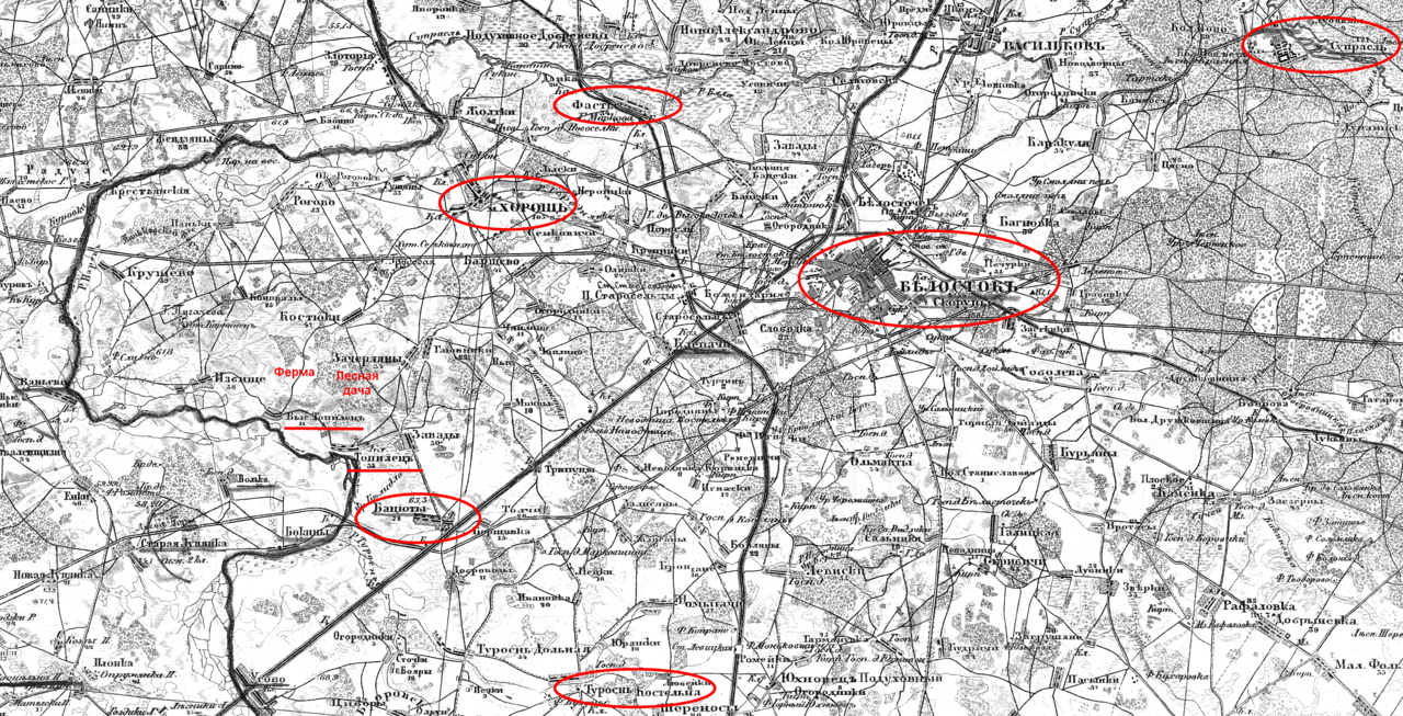
Русский: Окрестности села Топилец на Военно-топографической карте Российской империи 1863 года |
| Date | |
| Source | http://www.etomesto.ru/shubert-map/16-2/ с моими дополнениями |
| Author |
https://ru.wikipedia.org/wiki/Шуберт,_Фёдор_Фёдорович умер в 1865 году https://ru.wikipedia.org/wiki/Тучков,_Павел_Алексеевич_(1776) умер в 1858 году |
Licensing
[edit]
|
This work is in the public domain in its country of origin and other countries and areas where the copyright term is the author's life plus 70 years or fewer. This work is in the public domain in the United States because it was published (or registered with the U.S. Copyright Office) before January 1, 1929. | |
| This file has been identified as being free of known restrictions under copyright law, including all related and neighboring rights. | |
File history
Click on a date/time to view the file as it appeared at that time.
| Date/Time | Thumbnail | Dimensions | User | Comment | |
|---|---|---|---|---|---|
| current | 14:07, 1 September 2021 | | 3,997 × 2,039 (7.94 MB) | Martinitolove (talk | contribs) | Uploaded a work by https://ru.wikipedia.org/wiki/Шуберт,_Фёдор_Фёдорович умер в 1865 году https://ru.wikipedia.org/wiki/Тучков,_Павел_Алексеевич_(1776) умер в 1858 году from http://www.etomesto.ru/shubert-map/16-2/ с моими дополнениями with UploadWizard |
You cannot overwrite this file.
File usage on Commons
There are no pages that use this file.
File usage on other wikis
The following other wikis use this file:
- Usage on ru.wikipedia.org