File:Map - NL - Gemeente Zuidplas.svg
Jump to navigation
Jump to search

Size of this PNG preview of this SVG file: 800 × 432 pixels. Other resolutions: 320 × 173 pixels | 640 × 345 pixels | 1,024 × 552 pixels | 1,280 × 690 pixels | 2,560 × 1,381 pixels | 2,551 × 1,376 pixels.
Original file (SVG file, nominally 2,551 × 1,376 pixels, file size: 522 KB)
Captions
Captions
Add a one-line explanation of what this file represents
| Description |
|
|||
| Date | ||||
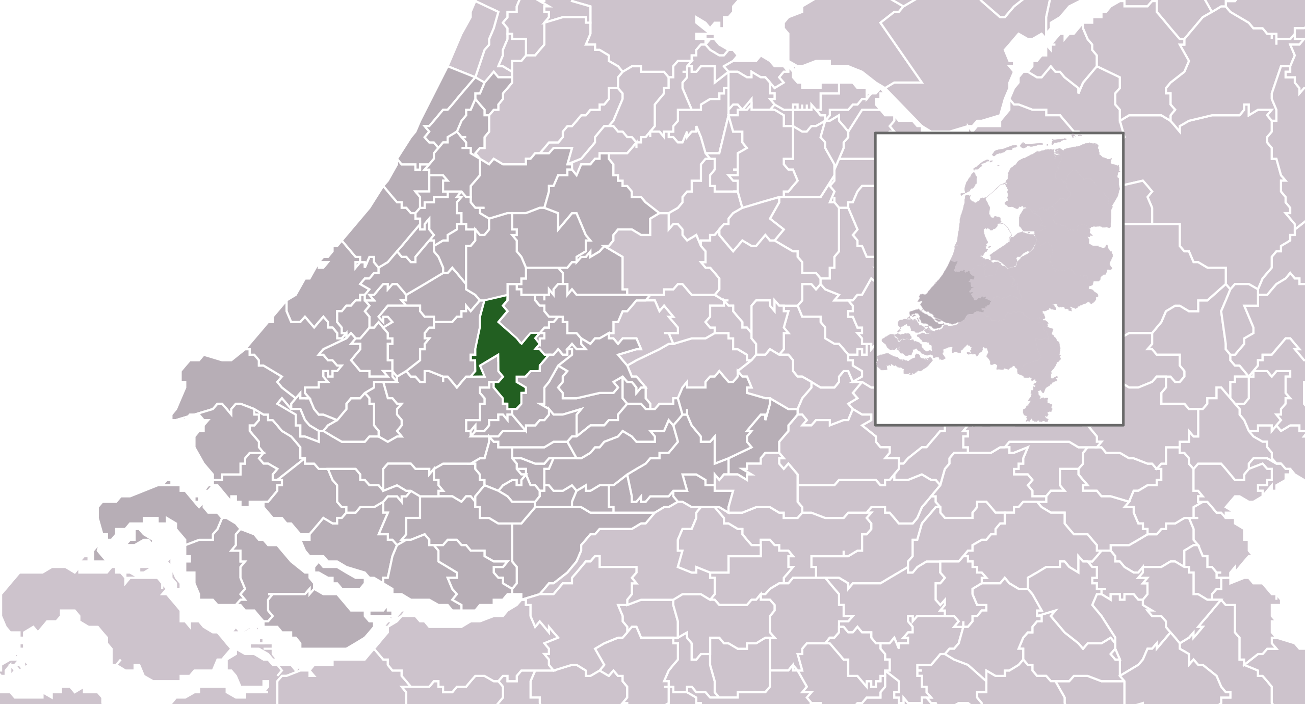
| Source | own work , using CBS data | |||
| Author | Michiel1972 (talk) 23:22, 24 January 2009 (UTC) | |||
| Permission (Reusing this file) |
Attribution ShareAlike 3.0 |

This file is licensed under the Creative Commons Attribution-Share Alike 3.0 Unported license.
- You are free:
- to share – to copy, distribute and transmit the work
- to remix – to adapt the work
- Under the following conditions:
- attribution – You must give appropriate credit, provide a link to the license, and indicate if changes were made. You may do so in any reasonable manner, but not in any way that suggests the licensor endorses you or your use.
- share alike – If you remix, transform, or build upon the material, you must distribute your contributions under the same or compatible license as the original.
File history
Click on a date/time to view the file as it appeared at that time.
| Date/Time | Thumbnail | Dimensions | User | Comment | |
|---|---|---|---|---|---|
| current | 18:59, 4 January 2010 | | 2,551 × 1,376 (522 KB) | Wester (talk | contribs) | i |
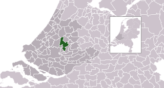
| 09:51, 29 January 2009 |  | 300 × 160 (553 KB) | Michiel1972 (talk | contribs) | {{Information |Description=*Location map future "Zuidplas" municipality in the Netherlands. Boundaries according 1/1/2009 *Automatically generated with script *File name contains "Municipality code" (CBS-code) as specified in: [http://www.cbs.nl/nl-NL/me |
You cannot overwrite this file.
File usage on Commons
There are no pages that use this file.
File usage on other wikis
The following other wikis use this file:
- Usage on ar.wikipedia.org
- Usage on de.wikipedia.org
- Usage on eo.wikipedia.org
- Usage on fa.wikipedia.org
- Usage on fr.wikipedia.org
- Usage on it.wikipedia.org
- Usage on la.wikipedia.org
- Usage on li.wikipedia.org
- Usage on nl.wikipedia.org
- Usage on ru.wikipedia.org
- Usage on stq.wikipedia.org
- Usage on sv.wikipedia.org