File:Map 13 Marie Byrd Land Ed 3.jpg
Jump to navigation
Jump to search

Size of this preview: 418 × 599 pixels. Other resolutions: 167 × 240 pixels | 335 × 480 pixels | 536 × 768 pixels | 714 × 1,024 pixels | 1,429 × 2,048 pixels | 2,880 × 4,128 pixels.
Original file (2,880 × 4,128 pixels, file size: 1.02 MB, MIME type: image/jpeg)
Captions
Captions
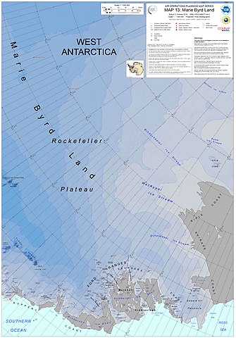
Eastern Marie Byrd Land and its geographic features
Summary[edit]
| Description |
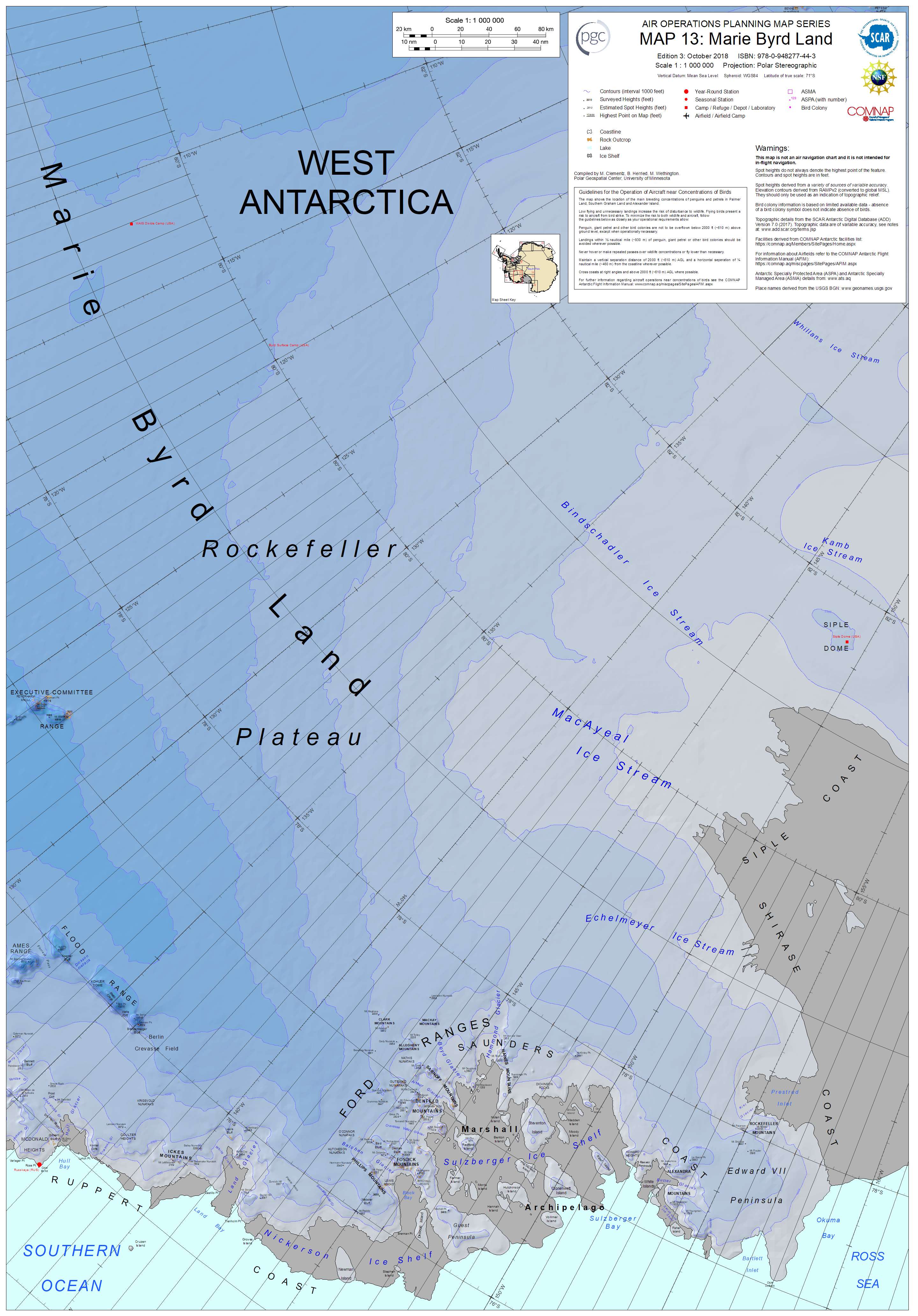
English: Air Operations Planning Map Series, Map 13: Marie Byrd Land, 3rd Edition, October 2018. ISBN: 978-0-948277-44-3, Polar Stereographic Projection, including the following features: the MacAyeal Ice Stream, Bindschadler Ice Stream, Siple Dome, Kamb Ice Stream, Echelmeyer Ice Stream, Edward VII Peninsula, Rockefeller Plateau, and many others |
| Date | |
| Source | http://data.pgc.umn.edu/maps/antarctica/pgc/17/preview/Map%2013%20Marie%20Byrd%20Land%20Ed%203.jpg |
| Author | M. Clementz, B. Herried, and M. Wethington as a work-for-hire of the Polar Geospacial Center, University of Michigan |
Licensing[edit]

|
The copyright holder of this file, the Polar Geospatial Center, allows anyone to use it for any purpose, provided that the copyright holder is properly attributed. Redistribution, derivative work, commercial use, and all other use is permitted. |
Attribution:
Polar Geospatial Center, 2018, PGC Map Catalog, https://doi.org/10.7910/DVN/6R8F7U, Harvard Dataverse, V1, Map 13, 29 July 2019]
|
File history
Click on a date/time to view the file as it appeared at that time.
| Date/Time | Thumbnail | Dimensions | User | Comment | |
|---|---|---|---|---|---|
| current | 04:21, 30 July 2019 | | 2,880 × 4,128 (1.02 MB) | A loose necktie (talk | contribs) | User created page with UploadWizard |
You cannot overwrite this file.
File usage on Commons
The following page uses this file:
File usage on other wikis
The following other wikis use this file:
- Usage on he.wikipedia.org
- Usage on pl.wikipedia.org