File:Map France 1477-br.svg
Jump to navigation
Jump to search

Size of this PNG preview of this SVG file: 556 × 599 pixels. Other resolutions: 223 × 240 pixels | 445 × 480 pixels | 713 × 768 pixels | 950 × 1,024 pixels | 1,900 × 2,048 pixels | 900 × 970 pixels.
Original file (SVG file, nominally 900 × 970 pixels, file size: 1,021 KB)
Captions
Captions
Add a one-line explanation of what this file represents
Summary[edit]
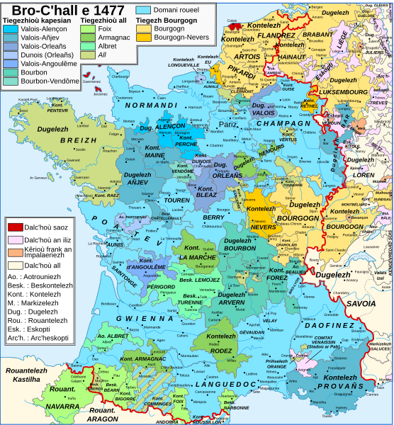
| Description |
Brezhoneg: Kartenn Frañs e 1477 e brezhoneg.
English: Map of France in 1477 in Breton.
Français : Carte de la France en 1477 en breton.
Deutsch: Karte Frankreichs im Jahr 1477 auf Bretonisch. |
| Date | |
| Source | Map France 1477-fr.svg |
| Author |
|
| Other versions |
[]
|


Licensing[edit]
This file is licensed under the Creative Commons Attribution-Share Alike 3.0 Unported license.
- You are free:
- to share – to copy, distribute and transmit the work
- to remix – to adapt the work
- Under the following conditions:
- attribution – You must give appropriate credit, provide a link to the license, and indicate if changes were made. You may do so in any reasonable manner, but not in any way that suggests the licensor endorses you or your use.
- share alike – If you remix, transform, or build upon the material, you must distribute your contributions under the same or compatible license as the original.
File history
Click on a date/time to view the file as it appeared at that time.
| Date/Time | Thumbnail | Dimensions | User | Comment | |
|---|---|---|---|---|---|
| current | 22:40, 18 January 2024 | | 900 × 970 (1,021 KB) | Adriendelucca (talk | contribs) | reizhadennoù / corrections |
| 21:49, 6 November 2023 |  | 900 × 970 (1,021 KB) | Adriendelucca (talk | contribs) | Uploaded a work by *{{F|Map France 1477-fr.svg}} gant/by {{U|Zigeuner}} *Labour da-heul gant / derivative work by {{U|Adriendelucca}} from {{F|Map France 1477-fr.svg}} with UploadWizard |
You cannot overwrite this file.
File usage on Commons
The following 12 pages use this file:
- User:Adriendelucca
- User:Magog the Ogre/Multilingual legend/2023 November 6-10
- User:Magog the Ogre/Multilingual legend/2024 January 17-21
- File:Map France 1477-br.svg
- File:Map France 1477-de.svg
- File:Map France 1477-en.svg
- File:Map France 1477-es.svg
- File:Map France 1477-fr.svg
- File:Map France 1477-ru.svg
- File:Map France 1477-uk.svg
- File:Pays de Retz.jpg
- Template:Other versions/Map France 1477
File usage on other wikis
The following other wikis use this file:
- Usage on br.wikipedia.org