File:Map depicting Mancallinae fossil localities.jpg
Jump to navigation
Jump to search
Size of this preview: 800 × 560 pixels. Other resolutions: 320 × 224 pixels | 640 × 448 pixels | 1,024 × 717 pixels | 1,280 × 896 pixels | 1,514 × 1,060 pixels.
Original file (1,514 × 1,060 pixels, file size: 58 KB, MIME type: image/jpeg)
Captions
Captions
Add a one-line explanation of what this file represents
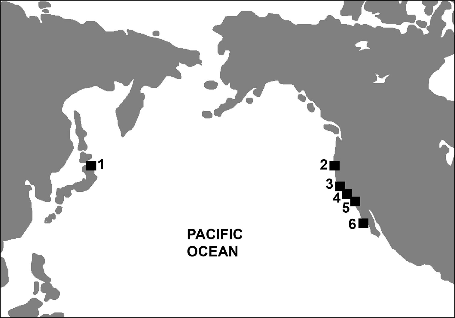
| Description | Map depicting Mancallinae fossil localities. 1 Shiriya, Honshu, Japan 2 Humboldt County, CA, USA 3 Los Angeles, CA, USA 4 Laguna Hills, and Laguna Niguel, CA, USA 5 San Diego, CA, USA 6 Cedros Island, Baja California, Mexico. | |||
| Date | ||||
| Source | Smith, N.A. 2010. Taxonomic revision and phylogenetic analysis of the flightless Mancallinae (Aves, Pan-Alcidae) Zookeys 91: 1–116 doi:10.3897/zookeys.91.709 | |||
| Author | Neil Adam Smith | |||
| Permission (Reusing this file) |
|
File history
Click on a date/time to view the file as it appeared at that time.
| Date/Time | Thumbnail | Dimensions | User | Comment | |
|---|---|---|---|---|---|
| current | 21:33, 17 May 2011 | | 1,514 × 1,060 (58 KB) | Innotata (talk | contribs) | {{Information |Description=Map depicting Mancallinae fossil localities. 1 Shiriya, Honshu, Japan 2 Humboldt County, CA, USA 3 Los Angeles, CA, USA 4 Laguna Hills, and Laguna Niguel, CA, USA 5 San Diego, CA, USA 6 Cedros Island, Baja California, Mexico. |S |
You cannot overwrite this file.
File usage on Commons
There are no pages that use this file.
File usage on other wikis
The following other wikis use this file:
- Usage on he.wikipedia.org