File:Map fort totten.jpg
Jump to navigation
Jump to search

Size of this preview: 490 × 599 pixels. Other resolutions: 196 × 240 pixels | 393 × 480 pixels | 628 × 768 pixels | 838 × 1,024 pixels | 1,961 × 2,397 pixels.
Original file (1,961 × 2,397 pixels, file size: 521 KB, MIME type: image/jpeg)
Captions
Captions
Add a one-line explanation of what this file represents
Summary
[edit]| Description |
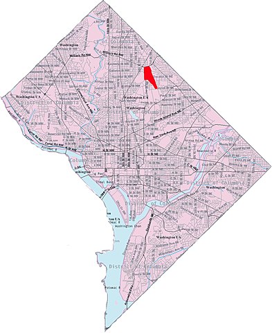
English: This image is a modified version of a self-generated reference map from the U.S. Census Bureau's American Factfinder at http://factfinder.census.gov/ by Wikipedia user Msclguru. |
| Source | http://factfinder.census.gov/ |
| Author | Wikipedia user Msclguru. |


Licensing
[edit]
This image or file is a work of a United States Census Bureau employee, taken or made as part of that person's official duties. As a work of the U.S. federal government, the image is in the public domain.
|
 |
Original upload log
[edit]
The original description page was here. All following user names refer to en.wikipedia.
| Date/Time | Dimensions | User | Comment |
|---|---|---|---|
| 2006-12-13 17:33 | 1961×2397× (533716 bytes) | Msclguru | Self-made by applying personal edits to a public domain (government) document. {{PD-USGov}} |
| 2006-11-16 20:40 | 1961×2397× (532494 bytes) | Msclguru | This image is a modified version of a self-generated reference map from the [[U.S. Census Bureau]]'s American Factfinder at http://factfinder.census.gov/ by Wikipedia user [[User:Msclguru|Msclguru]]. {{PD-USGov}} |
| 2006-05-30 20:10 | 671×842× (371775 bytes) | Msclguru | Self-made by applying personal edits to a public domain (government) document. |
File history
Click on a date/time to view the file as it appeared at that time.
| Date/Time | Thumbnail | Dimensions | User | Comment | |
|---|---|---|---|---|---|
| current | 02:01, 28 October 2014 | | 1,961 × 2,397 (521 KB) | BD2412 (talk | contribs) | Transferred from en.wikipedia |
You cannot overwrite this file.
File usage on Commons
The following page uses this file:
File usage on other wikis
The following other wikis use this file:
- Usage on en.wikipedia.org
- Usage on no.wikipedia.org
- Usage on ur.wikipedia.org
- Usage on www.wikidata.org