File:Map of Alaska highlighting Hoonah-Angoon Census Area.svg
跳转到导航
跳转到搜索

此SVG文件的PNG预览的大小:800 × 423像素。 其他分辨率:320 × 169像素 | 640 × 338像素 | 1,024 × 541像素 | 1,280 × 677像素 | 2,560 × 1,353像素 | 1,470 × 777像素。
原始文件 (SVG文件,尺寸为1,470 × 777像素,文件大小:584 KB)
说明
说明
添加一行文字以描述该文件所表现的内容

文件历史
点击某个日期/时间查看对应时刻的文件。
| 日期/时间 | 缩略图 | 大小 | 用户 | 备注 | |
|---|---|---|---|---|---|
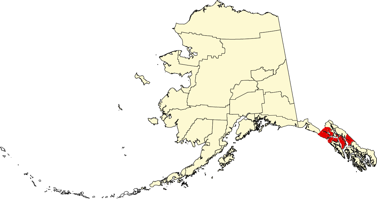
| 当前 | 2009年1月25日 (日) 23:04 | | 1,470 × 777(584 KB) | Niagara(留言 | 贡献) | == Summary == {{Information |Description={{en|1=Map of Alaska highlighting the Hoonah-Angoon Census Area}} |Source=self made |Author=Dtbohrer |Date=January 25, 2009 |Permission= |other |
您不可以覆盖此文件。
文件用途
全域文件用途
以下其他wiki使用此文件:
- ca.wikipedia.org上的用途
- Alakanuk
- Angoon
- Chevak
- Coffman Cove
- Craig (Alaska)
- Cube Cove
- Elfin Cove
- Emmonak
- Game Creek
- Gustavus
- Hoonah
- Hooper Bay
- Kake
- Klawock
- Klukwan
- Kotlik
- Metlakatla
- Naukati Bay
- Nunam Iqua
- Pelican
- Pilot Station
- Port Alexander
- Russian Mission
- Scammon Bay
- St. Mary's (Alaska)
- Tenakee Springs
- Whitestone Logging Camp
- Illa Annette
- Llista de boroughs i àrees censals d'Alaska
- Plantilla:Àrea censal de Hoonah-Angoon
- Categoria:Àrea censal de Hoonah-Angoon
- Plantilla:Àrea censal de Kusilvak
- Categoria:Àrea censal de Kusilvak
- Plantilla:Àrea censal de Prince of Wales-Hyder
- Categoria:Àrea censal de Prince of Wales-Hyder
- de.wikipedia.org上的用途
- en.wikipedia.org上的用途
查看此文件的更多全域用途。