File:Map of Bridgeton Township, Bucks County, Pennsylvania Highlighted.png

Archivo original (1796 × 1710 píxeles; tamaño de archivo: 89 kB; tipo MIME: image/png)
Leyendas
Leyendas
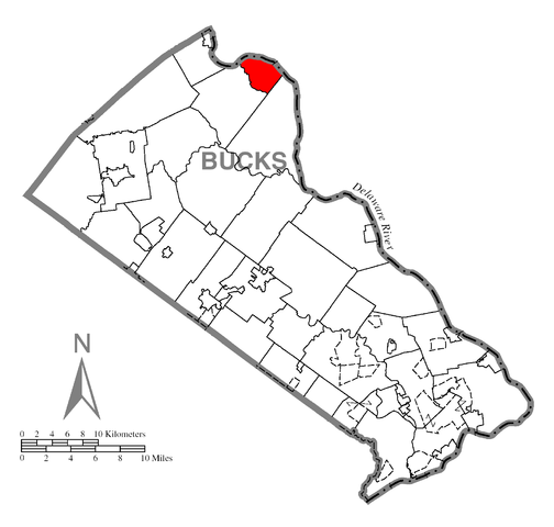
| Descripción | A map of Bucks County showing Bridgeton Township, Pennsylvania (alternate) highlighted on the map. | |||
| Fecha | ||||
| Fuente | Source image taken from the United States Census Bureau's website pa_cosub.pdf. Image was modified by Ram-Man. | |||
| Autor | (c)2006 Derek Ramsey (Ram-Man) (from U.S. Census Bureau source) | |||
| Permiso (Reutilización de este archivo) |
A United States Census Bureau / Government work is in the public domain, however, my modifications are licensed as follows: You may NOT use this image on your own web site or anywhere else unless you release this image and any derivative works (e.g. your web site) by following the terms of one of the following licenses. Any other use will be considered a breach of copyright and I reserve the right of legal action. If you have not read the terms of these licenses or do not understand them, then do not use this image. Yo, titular de los derechos de autor de esta obra, la publico en los términos de las siguientes licencias:
Este archivo se encuentra bajo la licencia Creative Commons de Atribución/Compartir-Igual 2.5 Genérica, 2.0 Genérica y 1.0 Genérica.
Puedes usar la licencia que prefieras. |
|||
| Otras versiones |
Image:Map of Bucks County, Pennsylvania.png - Source map before highlighting (with text). Image:Map of Bucks County, Pennsylvania No Text.png - Source map before highlighting (without text). |

Historial del archivo
Haz clic sobre una fecha y hora para ver el archivo tal como apareció en ese momento.
| Fecha y hora | Miniatura | Dimensiones | Usuario | Comentario | |
|---|---|---|---|---|---|
| actual | 02:40 12 oct 2006 | | 1796 × 1710 (89 kB) | Ram-Man (discusión | contribs.) | {{Information| |Description={{PennMapDesc|Bucks|Bridgeton Township}} |Source=Source image taken from the United States Census Bureau's website [http://www2.census.gov/geo/maps/general_ref/cousub_outline/cen2k_pgsz/pa_cosub.pdf pa_cosub.pdf]. Image was mod |
No puedes sobrescribir este archivo.
Usos del archivo
No hay páginas que enlacen a este archivo.
Uso global del archivo
Las wikis siguientes utilizan este archivo:
- Uso en es.wikipedia.org
- Uso en it.wikipedia.org
- Uso en vi.wikipedia.org