File:Map of California highlighting Tehama County.svg
Jump to navigation
Jump to search

Size of this PNG preview of this SVG file: 521 × 599 pixels. Other resolutions: 209 × 240 pixels | 417 × 480 pixels | 667 × 768 pixels | 890 × 1,024 pixels | 1,780 × 2,048 pixels | 916 × 1,054 pixels.
Original file (SVG file, nominally 916 × 1,054 pixels, file size: 151 KB)
Captions
Captions
Add a one-line explanation of what this file represents
Summary
[edit]
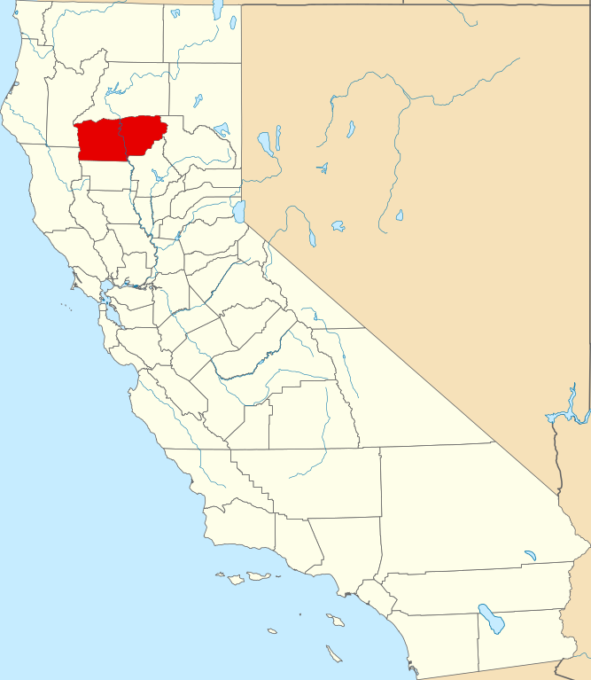
- Locator map showing Tehama County — in Northern California.
- Credits
- David Benbennick made this map. For more information, see Commons:United States county locator maps.
| I, the copyright holder of this work, release this work into the public domain. This applies worldwide. In some countries this may not be legally possible; if so: I grant anyone the right to use this work for any purpose, without any conditions, unless such conditions are required by law. |
File history
Click on a date/time to view the file as it appeared at that time.
| Date/Time | Thumbnail | Dimensions | User | Comment | |
|---|---|---|---|---|---|
| current | 23:04, 25 June 2024 | | 916 × 1,054 (151 KB) | Nux (talk | contribs) | uniform colors with good contrast |
| 10:28, 12 February 2006 |  | 9,164 × 10,536 (229 KB) | David Benbennick (talk | contribs) | {{subst:User:Dbenbenn/clm|county=Tehama County|state=California}} |
You cannot overwrite this file.
File usage on Commons
The following 6 pages use this file:
File usage on other wikis
The following other wikis use this file:
- Usage on ar.wikipedia.org
- Usage on arz.wikipedia.org
- Usage on az.wikipedia.org
- Usage on ban.wikipedia.org
- Usage on be.wikipedia.org
- Usage on bg.wikipedia.org
- Usage on bpy.wikipedia.org
- Usage on ca.wikipedia.org
- Usage on ceb.wikipedia.org
- Usage on ce.wikipedia.org
- Usage on cs.wikipedia.org
- Usage on cy.wikipedia.org
- Usage on da.wikipedia.org
- Usage on de.wikipedia.org
- Usage on en.wikipedia.org
- List of counties in California
- Tehama County, California
- Corning, California
- Gerber-Las Flores, California
- Los Molinos, California
- Manton, California
- Mineral, California
- Red Bluff, California
- Tehama, California
- Rancho Tehama, California
- Template:Tehama County, California
- Paskenta, California
- Dales, California
- Paynes Creek, California
- Daily News (Red Bluff)
- Gerber, California
- Mill Creek, California
- Category:Wikipedia requested photographs in Tehama County, California
- National Register of Historic Places listings in Tehama County, California
- Rosewood, Tehama County, California
- Kirkwood, Tehama County, California
- Vina, California
- Flournoy, California
- User:Nyttend/County templates/CA/3
- Proberta, California
- Bend, California
- Odd Fellows Building (Red Bluff, California)
View more global usage of this file.