File:Map of California highlighting Tulare County.svg
Jump to navigation
Jump to search

Size of this PNG preview of this SVG file: 521 × 599 pixels. Other resolutions: 209 × 240 pixels | 417 × 480 pixels | 667 × 768 pixels | 890 × 1,024 pixels | 1,780 × 2,048 pixels | 916 × 1,054 pixels.
Original file (SVG file, nominally 916 × 1,054 pixels, file size: 151 KB)
Captions
Captions
Add a one-line explanation of what this file represents
Summary
[edit]
| Description |
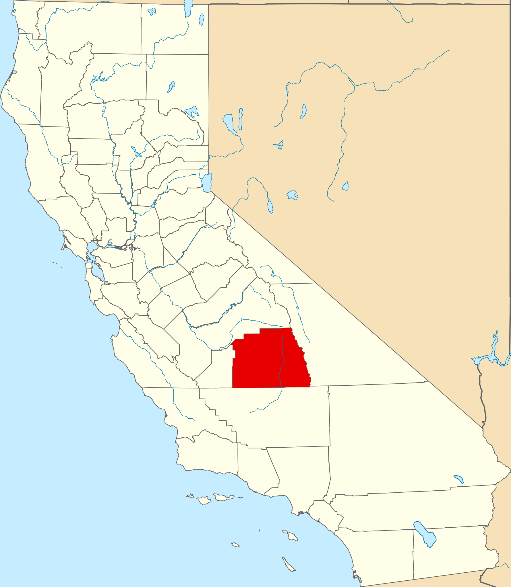
English: This is a locator map showing Tulare County in California. For more information, see Commons:United States county locator maps. |
| Date | |
| Source |
Own work: English: The maps use data from nationalatlas.gov, specifically countyp020.tar.gz on the Raw Data Download page. The maps also use state outline data from statesp020.tar.gz. The Florida maps use hydrogm020.tar.gz to display Lake Okeechobee. |
| Author | David Benbennick |
Licensing
[edit]
| I, the copyright holder of this work, release this work into the public domain. This applies worldwide. In some countries this may not be legally possible; if so: I grant anyone the right to use this work for any purpose, without any conditions, unless such conditions are required by law. |
File history
Click on a date/time to view the file as it appeared at that time.
| Date/Time | Thumbnail | Dimensions | User | Comment | |
|---|---|---|---|---|---|
| current | 23:04, 25 June 2024 | | 916 × 1,054 (151 KB) | Nux (talk | contribs) | uniform colors with good contrast |
| 18:36, 25 November 2016 |  | 1,022 × 1,171 (496 KB) | Spartan7W (talk | contribs) | Update HQ map | |
| 10:28, 12 February 2006 |  | 9,164 × 10,536 (229 KB) | David Benbennick (talk | contribs) | {{subst:User:Dbenbenn/clm|county=Tulare County|state=California}} |
You cannot overwrite this file.
File usage on Commons
The following 8 pages use this file:
- Category:Births in Tulare County, California
- Category:Geography of Tulare County, California
- Category:History of Tulare County, California
- Category:Maps of Tulare County, California
- Category:Mountains of Tulare County, California
- Category:People of Tulare County, California
- Category:Roads in Tulare County, California
- Category:Tulare County, California
File usage on other wikis
The following other wikis use this file:
- Usage on ar.wikipedia.org
- Usage on az.wikipedia.org
- Usage on ban.wikipedia.org
- Usage on be.wikipedia.org
- Usage on bg.wikipedia.org
- Usage on bpy.wikipedia.org
- Usage on ca.wikipedia.org
- Zante (Califòrnia)
- Orosi
- Alpaugh
- Cutler (Califòrnia)
- Dinuba
- Ducor
- Earlimart
- East Orosi
- East Porterville
- Exeter (Califòrnia)
- Farmersville (Califòrnia)
- Goshen (Califòrnia)
- Ivanhoe (Califòrnia)
- Lemon Cove
- Lindsay (Califòrnia)
- London (Califòrnia)
- Pixley
- Poplar-Cotton Center
- Porterville
- Richgrove
- Springville (Califòrnia)
- Strathmore (Califòrnia)
- Terra Bella
- Three Rivers (Califòrnia)
- Tipton (Califòrnia)
- Traver
- Visalia (Califòrnia)
- Woodlake
- Woodville (Califòrnia)
- Wilsonia
- Llista de comtats de Califòrnia
- Reserva índia Tule River
- Plantilla:Comtat de Tulare
- White River (Califòrnia)
View more global usage of this file.