File:Map of Chascomus partido.png
Jump to navigation
Jump to search
Size of this preview: 519 × 600 pixels. Other resolutions: 208 × 240 pixels | 415 × 480 pixels | 665 × 768 pixels | 886 × 1,024 pixels | 2,000 × 2,311 pixels.
Original file (2,000 × 2,311 pixels, file size: 566 KB, MIME type: image/png)
Captions
Captions
Add a one-line explanation of what this file represents
Summary[edit]
| Description |
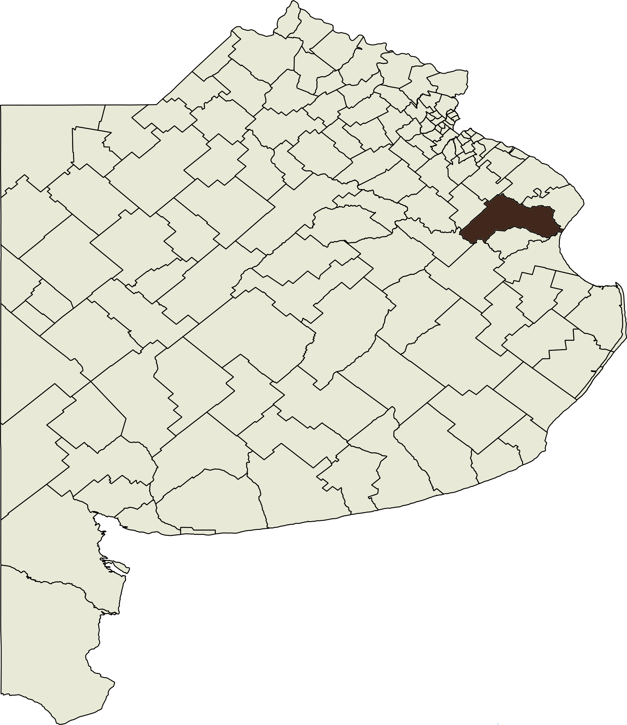
English: Map of Partido de Chascomús, Buenos Aires Province, Argentina. Español: Mapa de Partido de Chascomúsde la Provincia de Buenos Aires, Argentina. |
| Date | (UTC) |
| Source | |
| Author |
|
| This is a retouched picture, which means that it has been digitally altered from its original version. Modifications: marked out Partido de Chascomús in new limits. The original can be viewed here: Map of Buenos Aires Province.svg:
|
Licensing[edit]
I, the copyright holder of this work, hereby publish it under the following licenses:
This file is licensed under the Creative Commons Attribution-Share Alike 3.0 Unported, 2.5 Generic, 2.0 Generic and 1.0 Generic license.
- You are free:
- to share – to copy, distribute and transmit the work
- to remix – to adapt the work
- Under the following conditions:
- attribution – You must give appropriate credit, provide a link to the license, and indicate if changes were made. You may do so in any reasonable manner, but not in any way that suggests the licensor endorses you or your use.
- share alike – If you remix, transform, or build upon the material, you must distribute your contributions under the same or compatible license as the original.

|
Permission is granted to copy, distribute and/or modify this document under the terms of the GNU Free Documentation License, Version 1.2 or any later version published by the Free Software Foundation; with no Invariant Sections, no Front-Cover Texts, and no Back-Cover Texts. A copy of the license is included in the section entitled GNU Free Documentation License. |
You may select the license of your choice.
Original upload log[edit]
This image is a derivative work of the following images:
- File:Map_of_Buenos_Aires_Province.svg licensed with Cc-by-sa-3.0,2.5,2.0,1.0, GFDL
- 2010-07-27T14:58:23Z Pertile 2098x2424 (1501068 Bytes) {{Information |Description={{en|1=Map of Buenos Aires Province, Argentina, and its parties. Updated with Lezama party.}} {{es|1=Mapa de la Provincia de Buenos aires, Argentina, y sus partidos. Actualizado con el partido de Le
Uploaded with derivativeFX
File history
Click on a date/time to view the file as it appeared at that time.
| Date/Time | Thumbnail | Dimensions | User | Comment | |
|---|---|---|---|---|---|
| current | 12:40, 3 April 2011 | | 2,000 × 2,311 (566 KB) | RainbowUnicorn (talk | contribs) | {{Information |Description={{en|1=Map of Partido de Chascomús, Buenos Aires Province, Argentina}} {{es|1=Mapa de Partido de Chascomúsde la Provincia de Buenos Aires, Argentina}} |Source=*File:Map_of_Buenos_Aires_Province.svg |Date=2011-04-03 12:40 |
You cannot overwrite this file.
File usage on Commons
There are no pages that use this file.