File:Map of Cleveland (1894) - DPLA - 00d1db4a7dd66c752e064a64abba220a.jpg
Jump to navigation
Jump to search

Size of this preview: 634 × 600 pixels. Other resolutions: 254 × 240 pixels | 507 × 480 pixels | 812 × 768 pixels | 1,082 × 1,024 pixels | 2,164 × 2,048 pixels | 4,854 × 4,593 pixels.
Original file (4,854 × 4,593 pixels, file size: 2.54 MB, MIME type: image/jpeg)
Captions
Captions
Add a one-line explanation of what this file represents
Summary
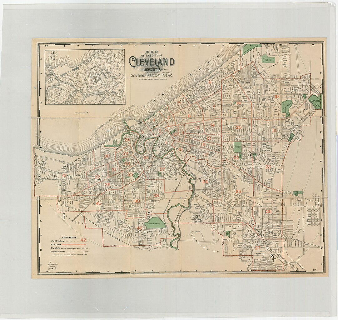
[edit]| Map of Cleveland (1894)
( |
|||||||||||||||||||||
|---|---|---|---|---|---|---|---|---|---|---|---|---|---|---|---|---|---|---|---|---|---|
| Creator | Stranahan, H. B | ||||||||||||||||||||
| Title |
Map of Cleveland (1894) |
||||||||||||||||||||
| Description |
Map of the City of Cleveland, 1894-1895. Scale [ca. 1:18,000] 1 in.=approx. 1,500 ft. Published by the Cleveland Directory Publishing Co. Includes ward numbers and boundaries and street car lines. |
||||||||||||||||||||
| Date | 1894 | ||||||||||||||||||||
| Collection |
|
||||||||||||||||||||
| Source/Photographer |
|
||||||||||||||||||||
| Permission (Reusing this file) |
|
||||||||||||||||||||
| Standardized rights statement |
|
||||||||||||||||||||


_-_DPLA_-_00d1db4a7dd66c752e064a64abba220a.jpg&action=edit§ion=1)
File history
Click on a date/time to view the file as it appeared at that time.
| Date/Time | Thumbnail | Dimensions | User | Comment | |
|---|---|---|---|---|---|
| current | 00:40, 23 April 2022 | | 4,854 × 4,593 (2.54 MB) | DPLA bot (talk | contribs) | Uploading DPLA ID 00d1db4a7dd66c752e064a64abba220a |
You cannot overwrite this file.
File usage on Commons
The following page uses this file:
_-_DPLA_-_00d1db4a7dd66c752e064a64abba220a.jpg)
_-_DPLA_-_00d1db4a7dd66c752e064a64abba220a.jpg&oldid=776908690)