File:Map of Dhekelia - Eastern SBA.svg
Jump to navigation
Jump to search

Size of this PNG preview of this SVG file: 340 × 226 pixels. Other resolutions: 320 × 213 pixels | 640 × 425 pixels | 1,024 × 681 pixels | 1,280 × 851 pixels | 2,560 × 1,702 pixels.
Original file (SVG file, nominally 340 × 226 pixels, file size: 3.29 MB)
Captions
Captions
Add a one-line explanation of what this file represents
Summary
[edit]
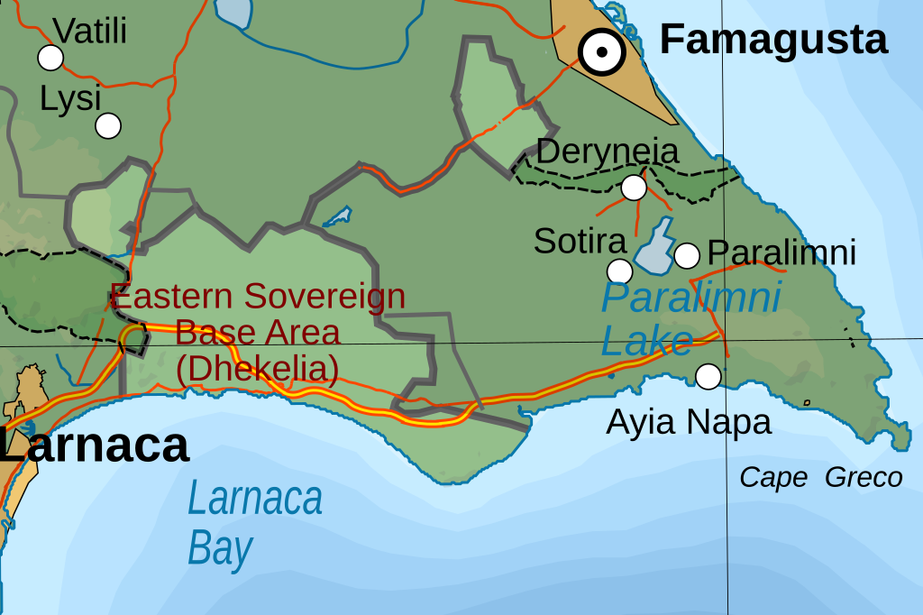
| Description | Map of the Eastern Sovereign Base Area on Cyprus (Dhekelia) |
| Date | 12-02-2020 |
| Source | Cyprus map topographic.svg |
| Author | Hogweard |
| Permission (Reusing this file) |
I, the copyright holder of this work, hereby publish it under the following license: This file is licensed under the Creative Commons Attribution-Share Alike 3.0 Unported license.
|
File history
Click on a date/time to view the file as it appeared at that time.
| Date/Time | Thumbnail | Dimensions | User | Comment | |
|---|---|---|---|---|---|
| current | 22:43, 12 February 2020 | | 340 × 226 (3.29 MB) | Hogweard (talk | contribs) | {{Information |description=Map of the Eastern Sovereign Base Area on Cyprus (Dhekelia) |date=12-02-2020 |source={{f|Cyprus map topographic.svg}} |author={{u|Hogweard}} |permission={{self|cc-by-sa-3.0}} |other versions= }} Category:Maps of Akrotiri and Dhekelia |
You cannot overwrite this file.
File usage on Commons
There are no pages that use this file.