File:Map of Districts in Toyota City 2019.png
Jump to navigation
Jump to search

Size of this preview: 800 × 560 pixels. Other resolutions: 320 × 224 pixels | 640 × 448 pixels | 1,024 × 717 pixels | 1,280 × 896 pixels | 2,560 × 1,792 pixels | 4,028 × 2,820 pixels.
Original file (4,028 × 2,820 pixels, file size: 631 KB, MIME type: image/png)
Captions
Captions
Add a one-line explanation of what this file represents
Summary
[edit]
| Description |
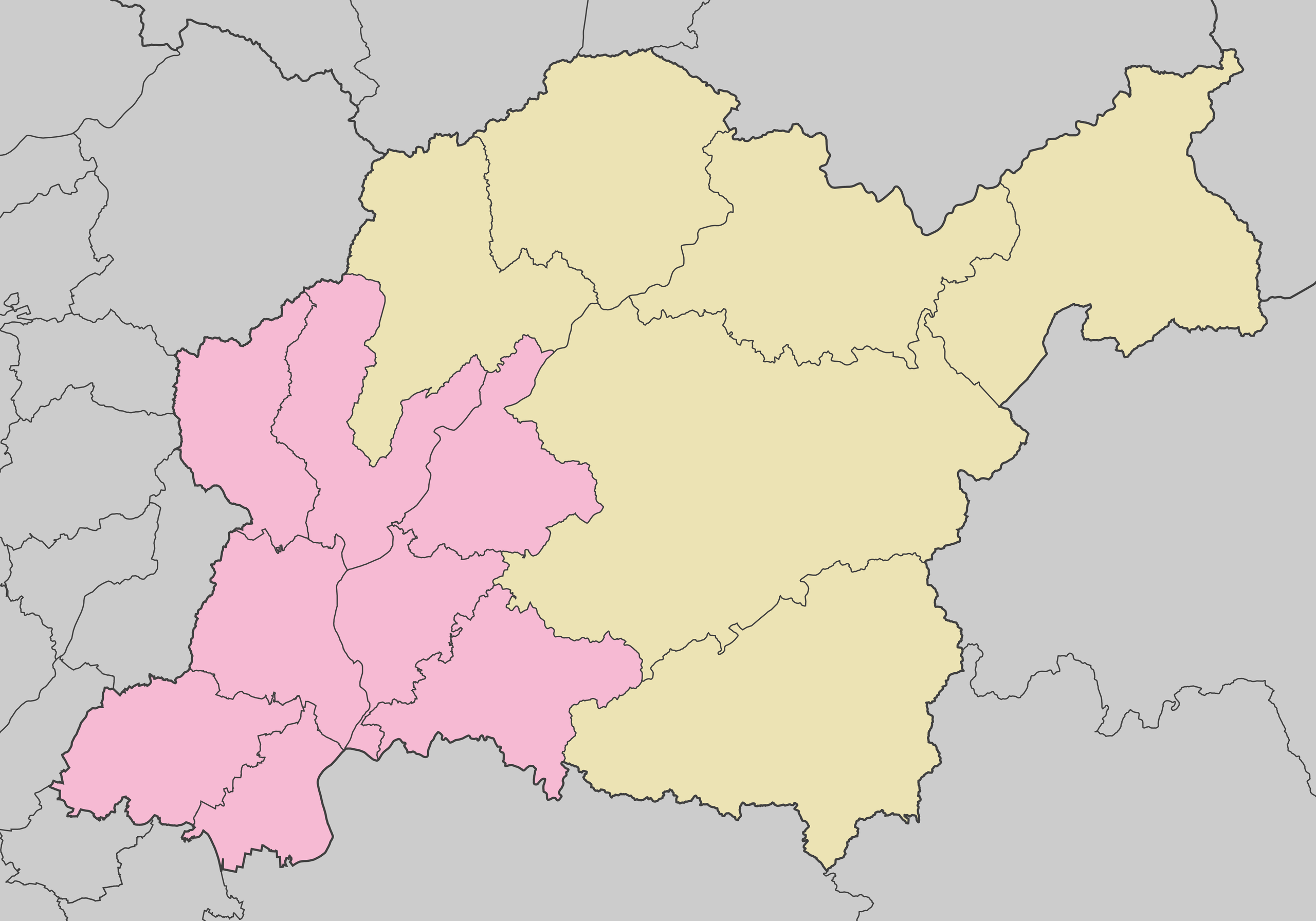
日本語: 豊田市地域図(2019年(平成31年)4月現在) |
| Date | |
| Source | Own work |
| Author | Tomio344456 |
Licensing
[edit]
I, the copyright holder of this work, hereby publish it under the following license:
This file is licensed under the Creative Commons Attribution-Share Alike 4.0 International license.
- You are free:
- to share – to copy, distribute and transmit the work
- to remix – to adapt the work
- Under the following conditions:
- attribution – You must give appropriate credit, provide a link to the license, and indicate if changes were made. You may do so in any reasonable manner, but not in any way that suggests the licensor endorses you or your use.
- share alike – If you remix, transform, or build upon the material, you must distribute your contributions under the same or compatible license as the original.
File history
Click on a date/time to view the file as it appeared at that time.
| Date/Time | Thumbnail | Dimensions | User | Comment | |
|---|---|---|---|---|---|
| current | 05:37, 27 April 2019 | | 4,028 × 2,820 (631 KB) | Tomio344456 (talk | contribs) | User created page with UploadWizard |
You cannot overwrite this file.
File usage on Commons
The following 3 pages use this file:
File usage on other wikis
The following other wikis use this file:
- Usage on fr.wikipedia.org
- Usage on ja.wikipedia.org
- 豊田スタジアム
- 鞍ケ池公園
- 豊田市美術館
- 豊田アローズブリッジ
- トヨタスポーツセンター
- 豊田市民芸館
- トヨタ会館
- 久澄橋
- 真弓山城
- トヨタ鞍ヶ池記念館
- 隣松寺
- トヨタ町
- 旧鈴木家住宅 (豊田市)
- Template:Location map Japan Toyota City
- 守綱寺 (豊田市)
- 随應院
- 如意寺 (豊田市)
- 高月院
- 元城町 (豊田市)
- 土橋町 (豊田市)
- 小坂本町
- 猿投町 (豊田市)
- 高橋町 (豊田市)
- 寺部町 (豊田市)
- 東山町 (豊田市)
- 東新町 (豊田市)
- 本新町 (豊田市)
- 西新町 (豊田市)
- 逢妻町 (豊田市)
- 曙町 (豊田市)
- 上挙母
- 栄生町 (豊田市)
- 鴻ノ巣町
- 下市場町 (豊田市)
- 下林町 (豊田市)
- 樹木町 (豊田市)
- 昭和町 (豊田市)
- 白浜町 (豊田市)
- 新生町 (豊田市)
- 新町 (豊田市)
- 水源町
- 千足町
- 太平町 (豊田市)
- 高崎町 (豊田市)
- 高原町 (豊田市)
- 竹生町 (豊田市)
- 田代町 (豊田市)
- 田中町 (豊田市)
- 長興寺 (豊田市の町名)
View more global usage of this file.