File:Map of FEKT building.svg
Jump to navigation
Jump to search

Size of this PNG preview of this SVG file: 757 × 600 pixels. Other resolutions: 303 × 240 pixels | 606 × 480 pixels | 970 × 768 pixels | 1,280 × 1,014 pixels | 2,560 × 2,028 pixels | 1,318 × 1,044 pixels.
Original file (SVG file, nominally 1,318 × 1,044 pixels, file size: 1.11 MB)
Captions
Captions
Add a one-line explanation of what this file represents
| Description |
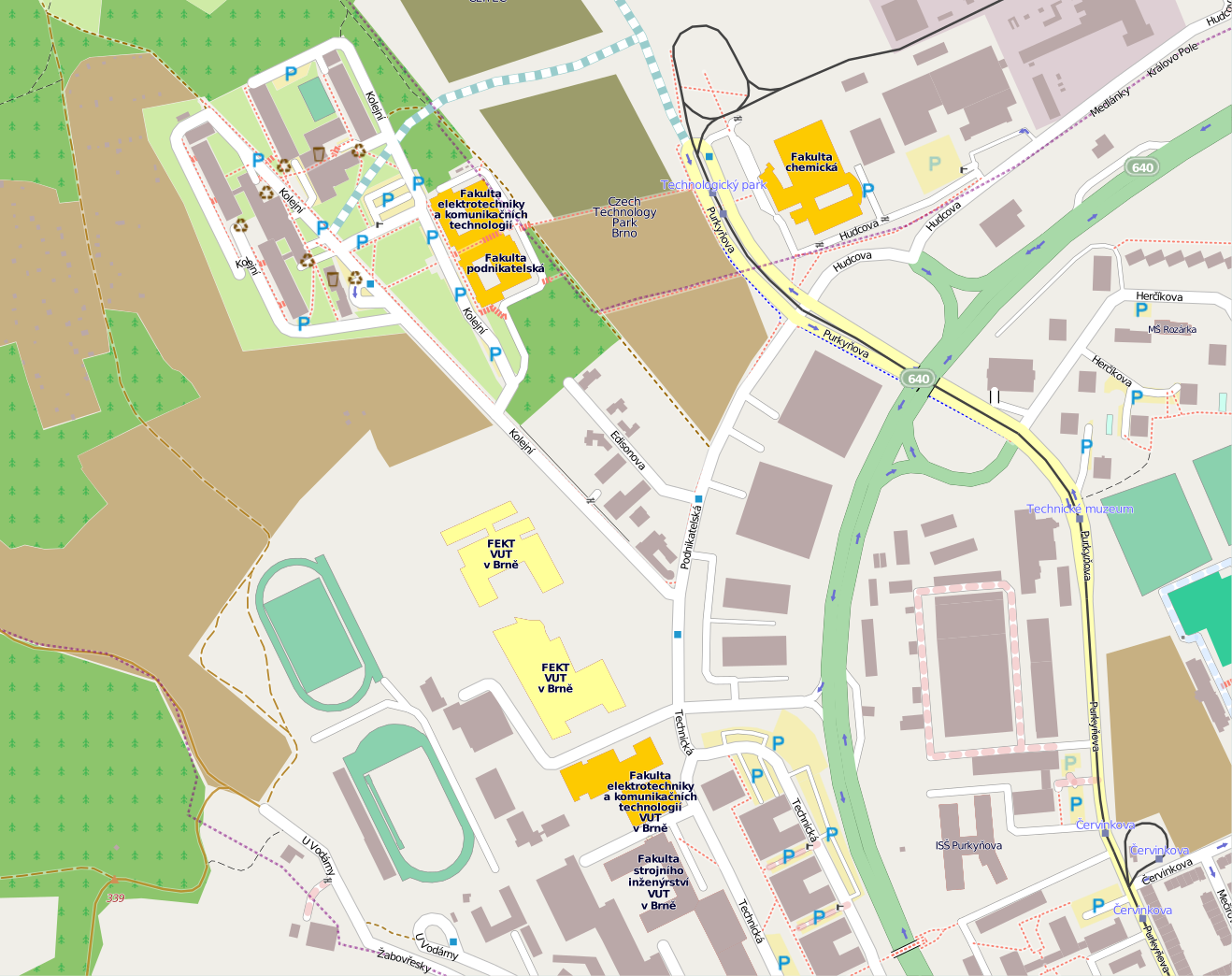
Čeština: Mapa budov Fakulty elektrotechniky a komunikačních technologií VUT v Brně
Dnes používané budovy
Rozestavěné budovy |
| Date | |
| Source | http://www.openstreetmap.org/ |
| Author | Jakub Onderka, OpenStreetMap |
| Permission (Reusing this file) |
This file is licensed under the Creative Commons Attribution-Share Alike 2.0 Generic license.
|
File history
Click on a date/time to view the file as it appeared at that time.
| Date/Time | Thumbnail | Dimensions | User | Comment | |
|---|---|---|---|---|---|
| current | 16:40, 12 January 2011 | | 1,318 × 1,044 (1.11 MB) | Jakub Onderka (talk | contribs) | {{Information |Description={{cs|1=Mapa budov Fakulty elektrotechniky a komunikačních technologií VUT v Brně {{legend|#fdca01|Dnes používané budovy}} {{legend|#ffff99|Rozestavěné budovy}}}} |Source=http://www.openstreetmap.org/ |Author=Jakub Onder |
You cannot overwrite this file.
File usage on Commons
There are no pages that use this file.
File usage on other wikis
The following other wikis use this file:
- Usage on cs.wikipedia.org