File:Map of Gnojnice settlement in Mostar.png
Jump to navigation
Jump to search

Size of this preview: 800 × 408 pixels. Other resolutions: 320 × 163 pixels | 640 × 327 pixels | 1,285 × 656 pixels.
Original file (1,285 × 656 pixels, file size: 859 KB, MIME type: image/png)
Captions
Captions
Add a one-line explanation of what this file represents
Summary[edit]
| Description |
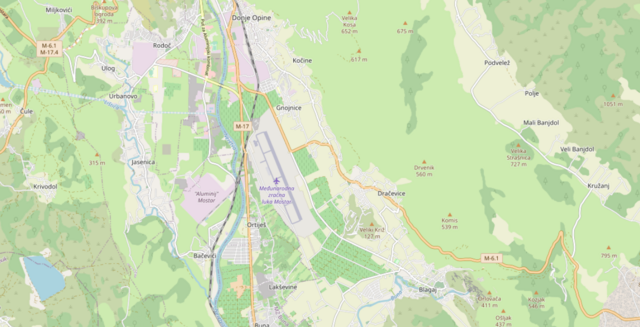
English: A map showing the Mostar suburb of Gnojnice
Bosanski: Mapa Gnojnica, prigradskog naselja Mostara.
Deutsch: Eine Karte, die den Mostarer Vorort Gnojnice zeigt. |
| Date | |
| Source | https://openstreetmap.de/karte/ |
| Author | openstreetmap.org |
Licensing[edit]
This file is licensed under the Creative Commons Attribution-Share Alike 3.0 Unported license.
- You are free:
- to share – to copy, distribute and transmit the work
- to remix – to adapt the work
- Under the following conditions:
- attribution – You must give appropriate credit, provide a link to the license, and indicate if changes were made. You may do so in any reasonable manner, but not in any way that suggests the licensor endorses you or your use.
- share alike – If you remix, transform, or build upon the material, you must distribute your contributions under the same or compatible license as the original.
File history
Click on a date/time to view the file as it appeared at that time.
| Date/Time | Thumbnail | Dimensions | User | Comment | |
|---|---|---|---|---|---|
| current | 14:14, 15 September 2023 | | 1,285 × 656 (859 KB) | Combi2000 (talk | contribs) | Uploaded a work by openstreetmap.org from https://openstreetmap.de/karte/ with UploadWizard |
You cannot overwrite this file.
File usage on Commons
There are no pages that use this file.
File usage on other wikis
The following other wikis use this file:
- Usage on bs.wikipedia.org
- Usage on en.wikipedia.org