File:Map of Indiana highlighting Crawford County.svg
پرش به ناوبری
پرش به جستجو

حجم پیشنمایش PNG این SVG file:۳۹۱ × ۵۹۹ پیکسل کیفیتهای دیگر: ۱۵۶ × ۲۴۰ پیکسل | ۳۱۳ × ۴۸۰ پیکسل | ۵۰۱ × ۷۶۸ پیکسل | ۶۶۸ × ۱٬۰۲۴ پیکسل | ۱٬۳۳۷ × ۲٬۰۴۸ پیکسل | ۲٬۸۸۷ × ۴٬۴۲۳ پیکسل.
پروندهٔ اصلی (پروندهٔ اسویجی، با ابعاد ۲٬۸۸۷ × ۴٬۴۲۳ پیکسل، اندازهٔ پرونده: ۵۶ کیلوبایت)
گزینهها
عنوان
شرحی یکخطی از محتوای این فایل اضافه کنید
خلاصه
[ویرایش]
| توضیح |
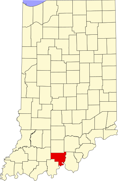
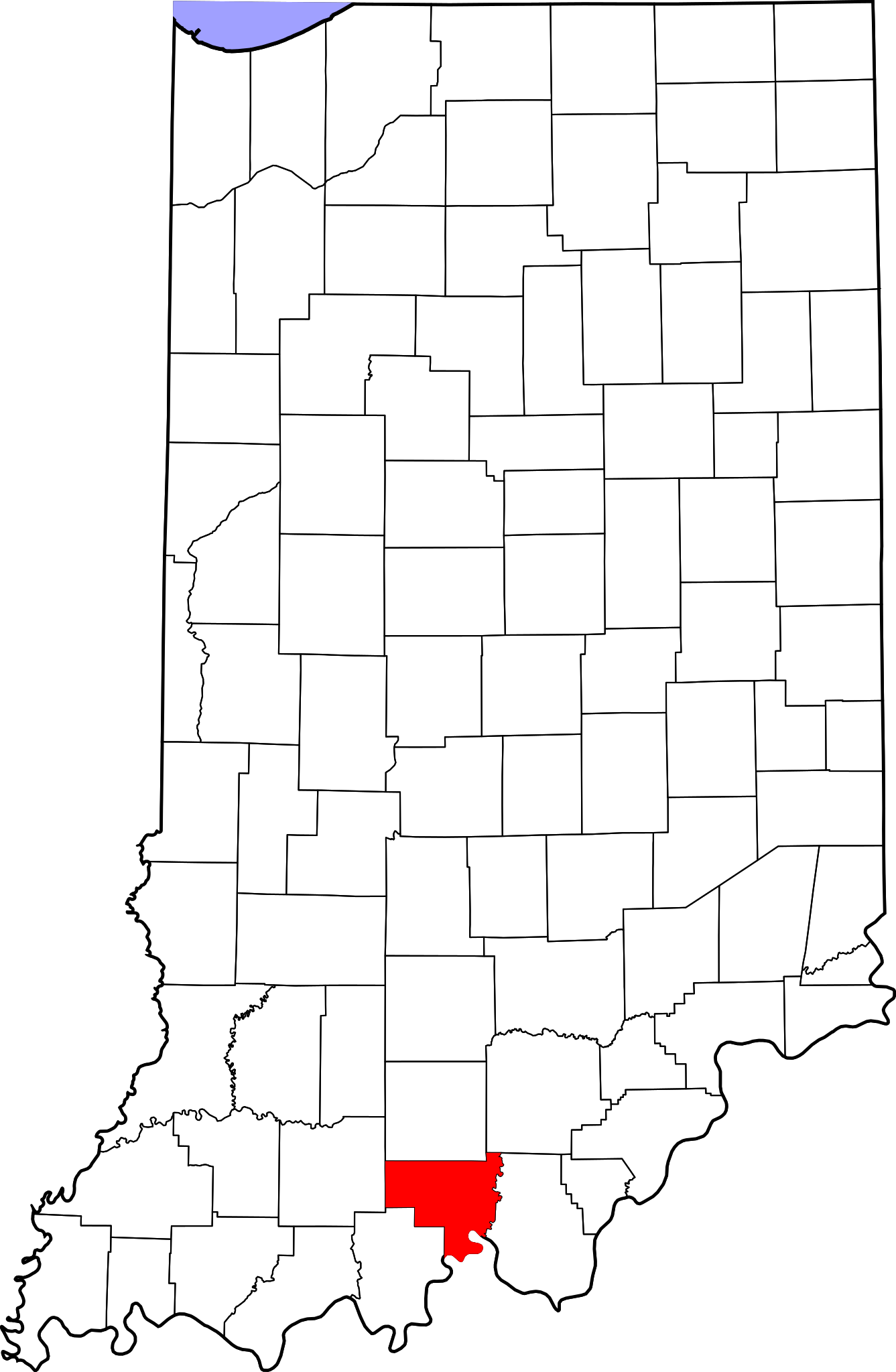
English: This is a locator map showing Crawford County in Indiana. For more information, see Commons:United States county locator maps. |
| تاریخ | |
| منبع |
اثر شخصی: English: The maps use data from nationalatlas.gov, specifically countyp020.tar.gz on the Raw Data Download page. The maps also use state outline data from statesp020.tar.gz. The Florida maps use hydrogm020.tar.gz to display Lake Okeechobee. |
| پدیدآور | David Benbennick |
اجازهنامه
[ویرایش]
| من، دارنده حق تکثیر این اثر، این اثر را به مالکیت عمومی منتشر میکنم. این قابل اجرا در تمام نقاط جهان است. در برخی از کشورها ممکن است به صورت قانونی این امکانپذیر نباشد؛ اگر چنین است: من اجازهٔ استفاده از این اثر را برای هر مقصودی، بدون هیچگونه شرایطی میدهم، تا وقتی که این شرایط توسط قانون مستلزم نشده باشد. |
تاریخچهٔ پرونده
روی تاریخ/زمانها کلیک کنید تا نسخهٔ مربوط به آن هنگام را ببینید.
| تاریخ/زمان | بندانگشتی | ابعاد | کاربر | توضیح | |
|---|---|---|---|---|---|
| کنونی | ۱۲ فوریهٔ ۲۰۰۶، ساعت ۱۲:۰۹ | | ۲٬۸۸۷ در ۴٬۴۲۳ (۵۶ کیلوبایت) | David Benbennick (بحث | مشارکتها) | {{subst:User:Dbenbenn/clm|county=Crawford County|state=Indiana}} |
شما نمیتوانید این پرونده را رونویسی کنید.
کاربرد پرونده
صفحههای زیر از این تصویر استفاده میکنند:
- Category:Births in Crawford County, Indiana
- Category:Crawford County, Indiana
- Category:Geography of Crawford County, Indiana
- Category:Maps of Crawford County, Indiana
- Category:National Register of Historic Places in Crawford County, Indiana
- Category:People of Crawford County, Indiana
- Category:Populated places in Crawford County, Indiana
- Category:Towns in Crawford County, Indiana
- Category:Visitor attractions in Crawford County, Indiana
کاربرد سراسری پرونده
ویکیهای دیگر زیر از این پرونده استفاده میکنند:
- کاربرد در ar.wikipedia.org
- کاربرد در bg.wikipedia.org
- کاربرد در bpy.wikipedia.org
- کاربرد در cdo.wikipedia.org
- کاربرد در ceb.wikipedia.org
- کاربرد در ce.wikipedia.org
- کاربرد در cy.wikipedia.org
- کاربرد در de.wikipedia.org
- کاربرد در en.wikipedia.org
- List of counties in Indiana
- Crawford County, Indiana
- Alton, Indiana
- English, Indiana
- Leavenworth, Indiana
- Marengo, Indiana
- Milltown, Indiana
- Taswell, Indiana
- Potts Creek Rockshelter
- Template:Crawford County, Indiana
- Boone Township, Crawford County, Indiana
- Jennings Township, Crawford County, Indiana
- Johnson Township, Crawford County, Indiana
- Liberty Township, Crawford County, Indiana
- Ohio Township, Crawford County, Indiana
- Patoka Township, Crawford County, Indiana
- Sterling Township, Crawford County, Indiana
- Union Township, Crawford County, Indiana
- Whiskey Run Township, Crawford County, Indiana
- Template:CrawfordCountyIN-geo-stub
- Eckerty, Indiana
- Cape Sandy, Indiana
- Curby, Indiana
- Grantsburg, Indiana
- Hogtown, Indiana
- Pilot Knob, Indiana
- Riddle, Indiana
- Sulphur, Indiana
- Temple, Indiana
- West Fork, Indiana
- Wickliffe, Indiana
- User:Nyttend/County templates/IN/1
- National Register of Historic Places listings in Crawford County, Indiana
- Category:Populated places in Crawford County, Indiana
- List of Indiana state historical markers in Crawford County
- Beechwood, Indiana
- Brownstown, Crawford County, Indiana
نمایش استفادههای سراسری از این پرونده.