File:Map of Liège by Jacobus Harrewijn in 1785.jpg
Jump to navigation
Jump to search

Size of this preview: 768 × 600 pixels. Other resolutions: 307 × 240 pixels | 615 × 480 pixels | 983 × 768 pixels | 1,280 × 1,000 pixels | 2,560 × 1,999 pixels | 6,028 × 4,708 pixels.
Original file (6,028 × 4,708 pixels, file size: 2.89 MB, MIME type: image/jpeg)
Captions
Captions
Add a one-line explanation of what this file represents
Summary[edit]
| Description |
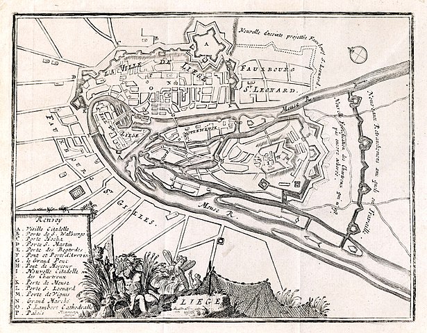
Magyar: A németalföldi Liège térképe 1785-ből English: Map of Liège by Jacobus Harrewijn in 1785 |
|||||||||||||||||||||||
| Date | ||||||||||||||||||||||||
| Source | Scan from the original work | |||||||||||||||||||||||
| Author |
|
|||||||||||||||||||||||
_Het_Rubenshuis_te_Antwerpen_-_Rubenshuis_Antwerpen_28-5-2016_09-51-01.JPG)
Licensing[edit]
|
This work is in the public domain in its country of origin and other countries and areas where the copyright term is the author's life plus 100 years or fewer. This work is in the public domain in the United States because it was published (or registered with the U.S. Copyright Office) before January 1, 1929. | |
| This file has been identified as being free of known restrictions under copyright law, including all related and neighboring rights. | |
File history
Click on a date/time to view the file as it appeared at that time.
| Date/Time | Thumbnail | Dimensions | User | Comment | |
|---|---|---|---|---|---|
| current | 14:48, 1 October 2008 | | 6,028 × 4,708 (2.89 MB) | Takkk (talk | contribs) | {{Információ | leírás =Liége antique map (XVIII centhury) - Liége, XVIII. századi térképe | forrás =magángyüjteményben lévő eredetiről scanelte user, eredeti mérete (fekete keret nagysága): 182 mm x 138 mm. Original (bla |
You cannot overwrite this file.
File usage on Commons
There are no pages that use this file.
File usage on other wikis
The following other wikis use this file:
- Usage on hu.wikipedia.org