File:Map of Madagascar.svg
Jump to navigation
Jump to search

Size of this PNG preview of this SVG file: 312 × 599 pixels. Other resolutions: 125 × 240 pixels | 250 × 480 pixels | 400 × 768 pixels | 533 × 1,024 pixels | 1,066 × 2,048 pixels | 674 × 1,294 pixels.
Original file (SVG file, nominally 674 × 1,294 pixels, file size: 154 KB)
Captions
Captions
Add a one-line explanation of what this file represents
| Description |
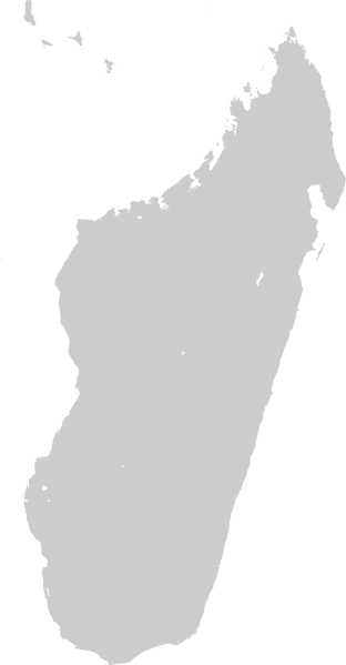
An outline map of w:Madagascar created with w:Generic Mapping Tools. The command used was: pscoast -Jm.3i -R42/52/-28/-11 -Ggray -Dh |
| Date | |
| Source | Own work |
| Author | Time3000 |
The map has been created with the Generic Mapping Tools: https://www.generic-mapping-tools.org/ using one or more of these public-domain datasets for the relief:
|

|
Permission is granted to copy, distribute and/or modify this document under the terms of the GNU Free Documentation License, Version 1.2 or any later version published by the Free Software Foundation; with no Invariant Sections, no Front-Cover Texts, and no Back-Cover Texts. A copy of the license is included in the section entitled GNU Free Documentation License. |
| This file is licensed under the Creative Commons Attribution-Share Alike 3.0 Unported license. | ||
| ||
| This licensing tag was added to this file as part of the GFDL licensing update. |
File history
Click on a date/time to view the file as it appeared at that time.
| Date/Time | Thumbnail | Dimensions | User | Comment | |
|---|---|---|---|---|---|
| current | 12:59, 23 February 2008 | | 674 × 1,294 (154 KB) | Time3000~commonswiki (talk | contribs) | Scale by a factor of 4 |
| 12:55, 23 February 2008 |  | 168 × 323 (151 KB) | Time3000~commonswiki (talk | contribs) | {{Information |Description=An outline map of w:Madagascar created with w:Generic Mapping Tools. The command used was: pscoast -Jm.3i -R42/52/-28/-11 -Ggray -Dh |Source=Own work |Date=February 23, 2008 |Author=~~~ |Permission=See below }} {{GFD |
You cannot overwrite this file.
File usage on Commons
The following 2 pages use this file:
File usage on other wikis
The following other wikis use this file:
- Usage on en.wikipedia.org
- Usage on sw.wikipedia.org
- Kigezo:Mbegu-jio-Madagaska
- Diana (mkoa)
- Sava
- Itasy
- Sofia (Madagaska)
- Betsiboka (mkoa)
- Analamanga
- Vakinankaratra
- Bongolava
- Boeny
- Melaky
- Alaotra-Mangoro
- Atsinanana
- Analanjirofo
- Amoron'i Mania
- Anosy
- Androy
- Atsimo-Andrefana
- Menabe
- Ihorombe
- Atsimo-Atsinanana
- Vatovavy-Fitovinany
- Haute Matsiatra
- Toamasina
- Antsirabe
- Fianarantsoa
- Mahajanga
- Toliara
- Antsiranana
- Antanifotsy
- Ambovombe
- Sambava
- Tôlanaro
- Morondava
- Amparafaravola
- Mnara wa taa wa Nosy Alañaña