File:Map of Maryland highlighting Howard County.svg
Jump to navigation
Jump to search

Size of this PNG preview of this SVG file: 800 × 419 pixels. Other resolutions: 320 × 167 pixels | 640 × 335 pixels | 1,024 × 536 pixels | 1,280 × 670 pixels | 2,560 × 1,340 pixels | 3,858 × 2,019 pixels.
Original file (SVG file, nominally 3,858 × 2,019 pixels, file size: 139 KB)
Captions
Captions
Add a one-line explanation of what this file represents
Summary[edit]
| Description |
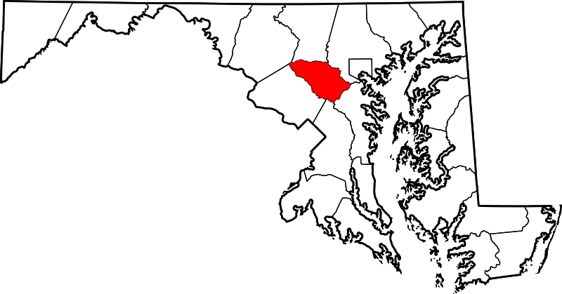
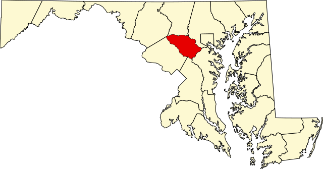
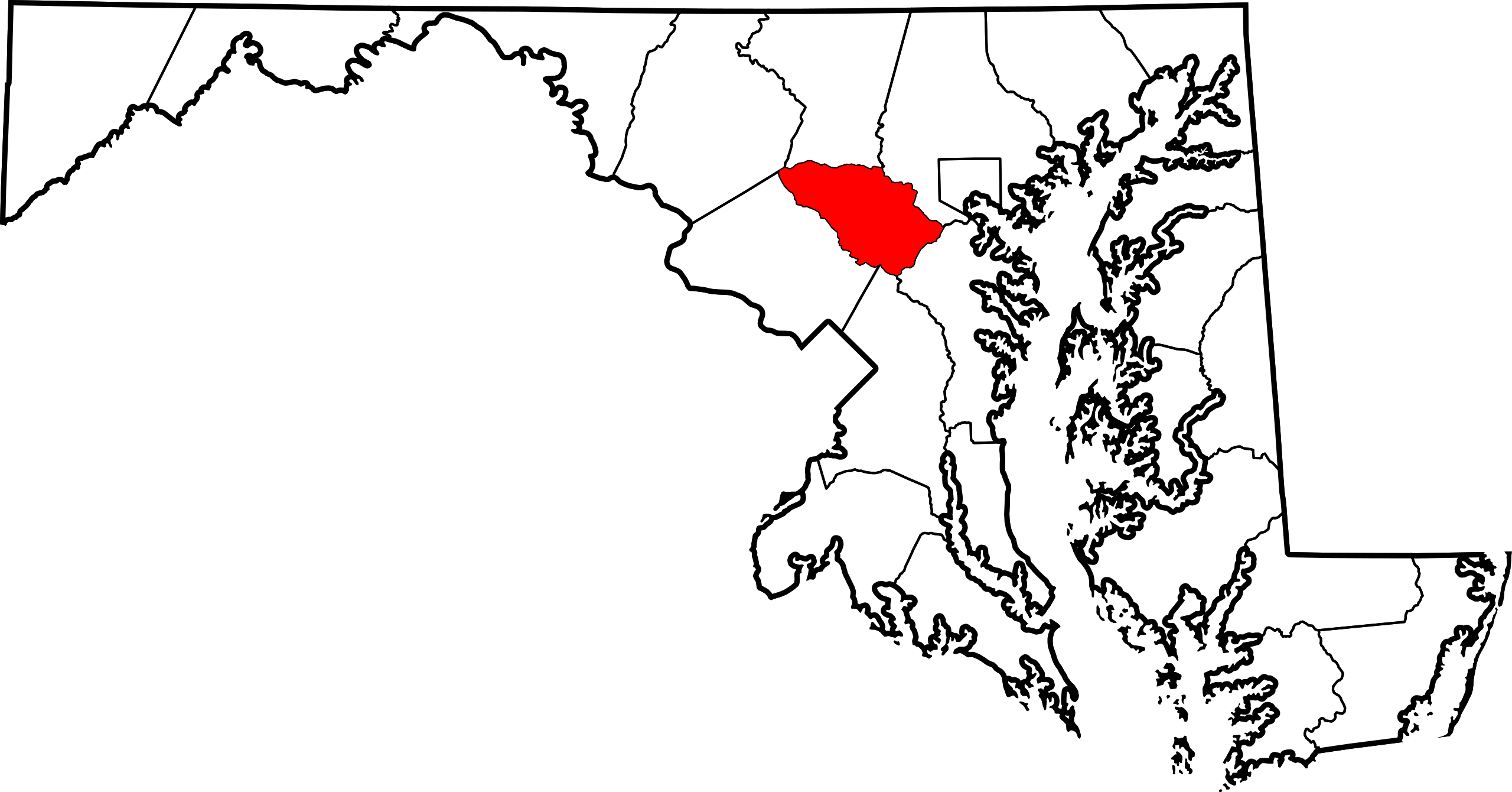
English: This is a locator map showing Howard County in Maryland. For more information, see Commons:United States county locator maps. |
| Date | |
| Source |
Own work: English: The maps use data from nationalatlas.gov, specifically countyp020.tar.gz on the Raw Data Download page. The maps also use state outline data from statesp020.tar.gz. The Florida maps use hydrogm020.tar.gz to display Lake Okeechobee. |
| Author | David Benbennick |
Licensing[edit]
| I, the copyright holder of this work, release this work into the public domain. This applies worldwide. In some countries this may not be legally possible; if so: I grant anyone the right to use this work for any purpose, without any conditions, unless such conditions are required by law. |
File history
Click on a date/time to view the file as it appeared at that time.
| Date/Time | Thumbnail | Dimensions | User | Comment | |
|---|---|---|---|---|---|
| current | 12:49, 12 February 2006 | | 3,858 × 2,019 (139 KB) | David Benbennick (talk | contribs) | {{subst:User:Dbenbenn/clm|county=Howard County|state=Maryland|type=county}} |
You cannot overwrite this file.
File usage
The following 7 pages use this file:
- Category:Geography of Howard County, Maryland
- Category:Howard County, Maryland
- Category:Maps of Howard County, Maryland
- Category:National Register of Historic Places in Howard County, Maryland
- Category:People of Howard County, Maryland
- Category:Populated places in Howard County, Maryland
- Category:Roads in Howard County, Maryland
Global file usage
The following other wikis use this file:
- Usage on ar.wikipedia.org
- Usage on azb.wikipedia.org
- Usage on bg.wikipedia.org
- Usage on bpy.wikipedia.org
- Usage on ca.wikipedia.org
- Usage on cdo.wikipedia.org
- Usage on ceb.wikipedia.org
- Usage on ce.wikipedia.org
- Usage on cy.wikipedia.org
- Usage on de.wikipedia.org
- Usage on el.wikipedia.org
- Usage on en.wikipedia.org
- Howard County, Maryland
- Columbia, Maryland
- List of counties in Maryland
- Elkridge, Maryland
- Ellicott City, Maryland
- North Laurel, Maryland
- Savage-Guilford, Maryland
- Jessup, Maryland
- Clarksville, Maryland
- Guilford, Maryland
- Wilde Lake, Columbia, Maryland
- Savage, Maryland
- River Hill, Columbia, Maryland
- Kings Contrivance, Columbia, Maryland
- Oakland Mills, Columbia, Maryland
- Hickory Ridge, Columbia, Maryland
- Dorsey, Maryland
- Hanover, Maryland
- Long Reach, Columbia, Maryland
- Lisbon, Maryland
- Woodbine, Maryland
- West Friendship, Maryland
- Glenelg, Maryland
- Highland, Maryland
- Marriottsville, Maryland
View more global usage of this file.