File:Map of Maryland highlighting Kent County.svg
پرش به ناوبری
پرش به جستجو

حجم پیشنمایش PNG این SVG file:۸۰۰ × ۴۱۹ پیکسل کیفیتهای دیگر: ۳۲۰ × ۱۶۷ پیکسل | ۶۴۰ × ۳۳۵ پیکسل | ۱٬۰۲۴ × ۵۳۶ پیکسل | ۱٬۲۸۰ × ۶۷۰ پیکسل | ۲٬۵۶۰ × ۱٬۳۴۰ پیکسل | ۳٬۸۵۸ × ۲٬۰۱۹ پیکسل.
پروندهٔ اصلی (پروندهٔ اسویجی، با ابعاد ۳٬۸۵۸ × ۲٬۰۱۹ پیکسل، اندازهٔ پرونده: ۱۳۹ کیلوبایت)
گزینهها
عنوان
شرحی یکخطی از محتوای این فایل اضافه کنید
خلاصه
[ویرایش]
| توضیح |
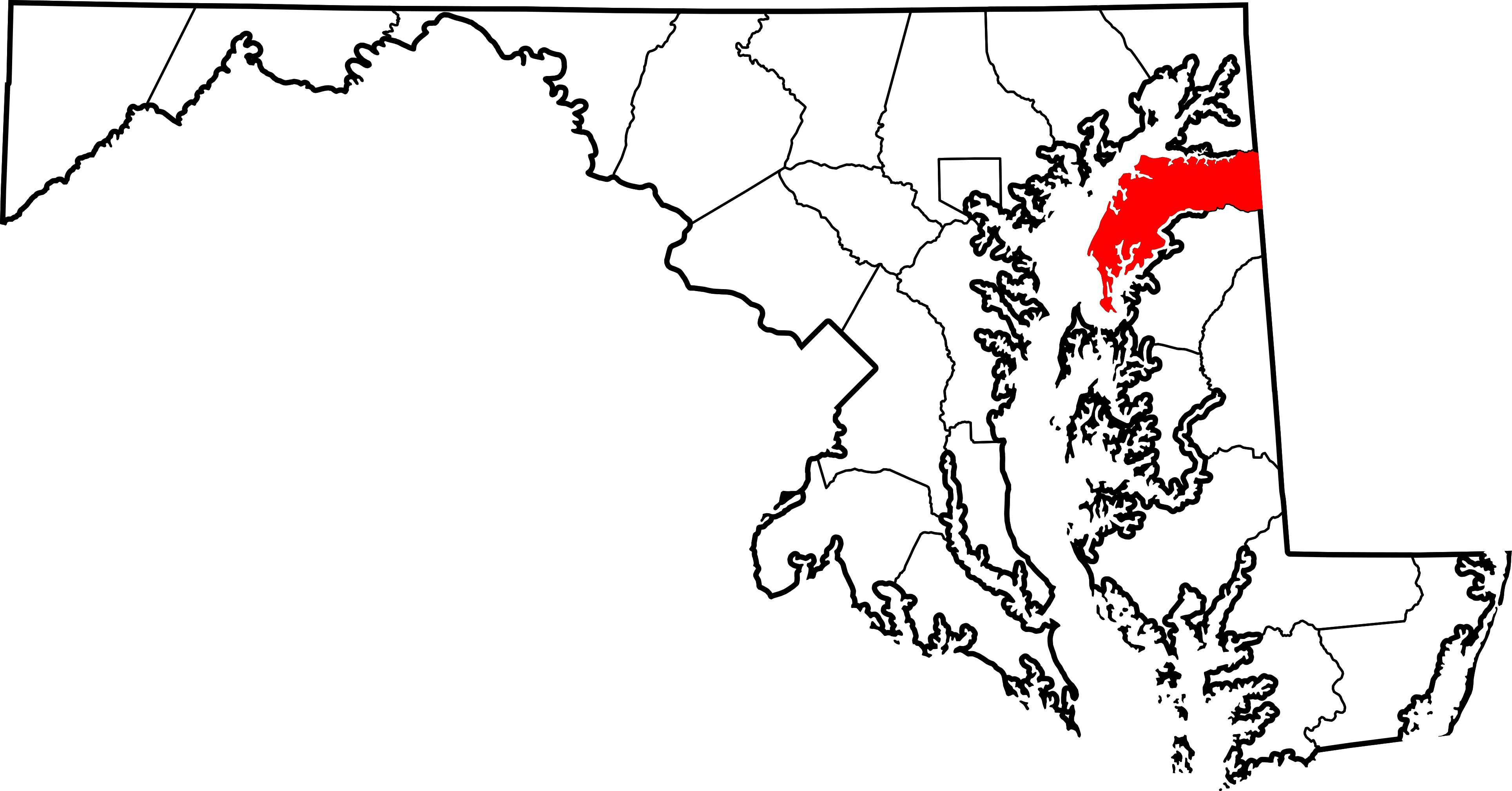
English: This is a locator map showing Kent County in Maryland. For more information, see Commons:United States county locator maps. |
| تاریخ | |
| منبع |
اثر شخصی: English: The maps use data from nationalatlas.gov, specifically countyp020.tar.gz on the Raw Data Download page. The maps also use state outline data from statesp020.tar.gz. The Florida maps use hydrogm020.tar.gz to display Lake Okeechobee. |
| پدیدآور | David Benbennick |
اجازهنامه
[ویرایش]
| من، دارنده حق تکثیر این اثر، این اثر را به مالکیت عمومی منتشر میکنم. این قابل اجرا در تمام نقاط جهان است. در برخی از کشورها ممکن است به صورت قانونی این امکانپذیر نباشد؛ اگر چنین است: من اجازهٔ استفاده از این اثر را برای هر مقصودی، بدون هیچگونه شرایطی میدهم، تا وقتی که این شرایط توسط قانون مستلزم نشده باشد. |
تاریخچهٔ پرونده
روی تاریخ/زمانها کلیک کنید تا نسخهٔ مربوط به آن هنگام را ببینید.
| تاریخ/زمان | بندانگشتی | ابعاد | کاربر | توضیح | |
|---|---|---|---|---|---|
| کنونی | ۱۲ فوریهٔ ۲۰۰۶، ساعت ۱۲:۴۹ | | ۳٬۸۵۸ در ۲٬۰۱۹ (۱۳۹ کیلوبایت) | David Benbennick (بحث | مشارکتها) | {{subst:User:Dbenbenn/clm|county=Kent County|state=Maryland|type=county}} |
شما نمیتوانید این پرونده را رونویسی کنید.
کاربرد پرونده
صفحههای زیر از این تصویر استفاده میکنند:
- Category:Census-designated places in Kent County, Maryland
- Category:Deaths in Kent County, Maryland
- Category:Geography of Kent County, Maryland
- Category:Kent County, Maryland
- Category:Maps of Kent County, Maryland
- Category:National Register of Historic Places in Kent County, Maryland
- Category:People of Kent County, Maryland
- Category:Populated places in Kent County, Maryland
- Category:Roads in Kent County, Maryland
- Category:Unincorporated communities in Kent County, Maryland
کاربرد سراسری پرونده
ویکیهای دیگر زیر از این پرونده استفاده میکنند:
- کاربرد در ar.wikipedia.org
- کاربرد در bg.wikipedia.org
- کاربرد در bpy.wikipedia.org
- کاربرد در ca.wikipedia.org
- کاربرد در cdo.wikipedia.org
- کاربرد در ceb.wikipedia.org
- کاربرد در ce.wikipedia.org
- کاربرد در cy.wikipedia.org
- کاربرد در de.wikipedia.org
- کاربرد در el.wikipedia.org
- کاربرد در en.wikipedia.org
- Kent County, Maryland
- List of counties in Maryland
- Betterton, Maryland
- Chestertown, Maryland
- Galena, Maryland
- Rock Hall, Maryland
- Millington, Maryland
- Georgetown, Maryland
- Template:Kent County, Maryland
- Tolchester Beach, Maryland
- Still Pond, Maryland
- Worton, Maryland
- User:Nyttend/County templates/MD
- National Register of Historic Places listings in Kent County, Maryland
- Kennedyville, Maryland
- Fairlee, Maryland
- Chesterville, Maryland
- Pomona, Maryland
- Sassafras, Maryland
- Golts, Maryland
- Lynch, Maryland
- Massey, Maryland
- Sharpstown, Maryland
- Hassengers Corner, Maryland
- Category:Populated places in Kent County, Maryland
- Langford, Maryland
- Tolchester, Maryland
- Butlertown, Maryland
نمایش استفادههای سراسری از این پرونده.