File:Map of Nebraska highlighting Cherry County.svg
Jump to navigation
Jump to search

Size of this PNG preview of this SVG file: 800 × 368 pixels. Other resolutions: 320 × 147 pixels | 640 × 294 pixels | 1,024 × 471 pixels | 1,280 × 589 pixels | 2,560 × 1,178 pixels | 7,414 × 3,411 pixels.
Original file (SVG file, nominally 7,414 × 3,411 pixels, file size: 34 KB)
Captions
Captions
Add a one-line explanation of what this file represents
Summary[edit]
| Description |
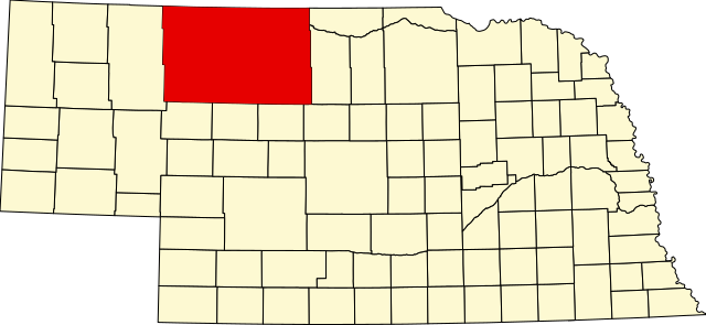
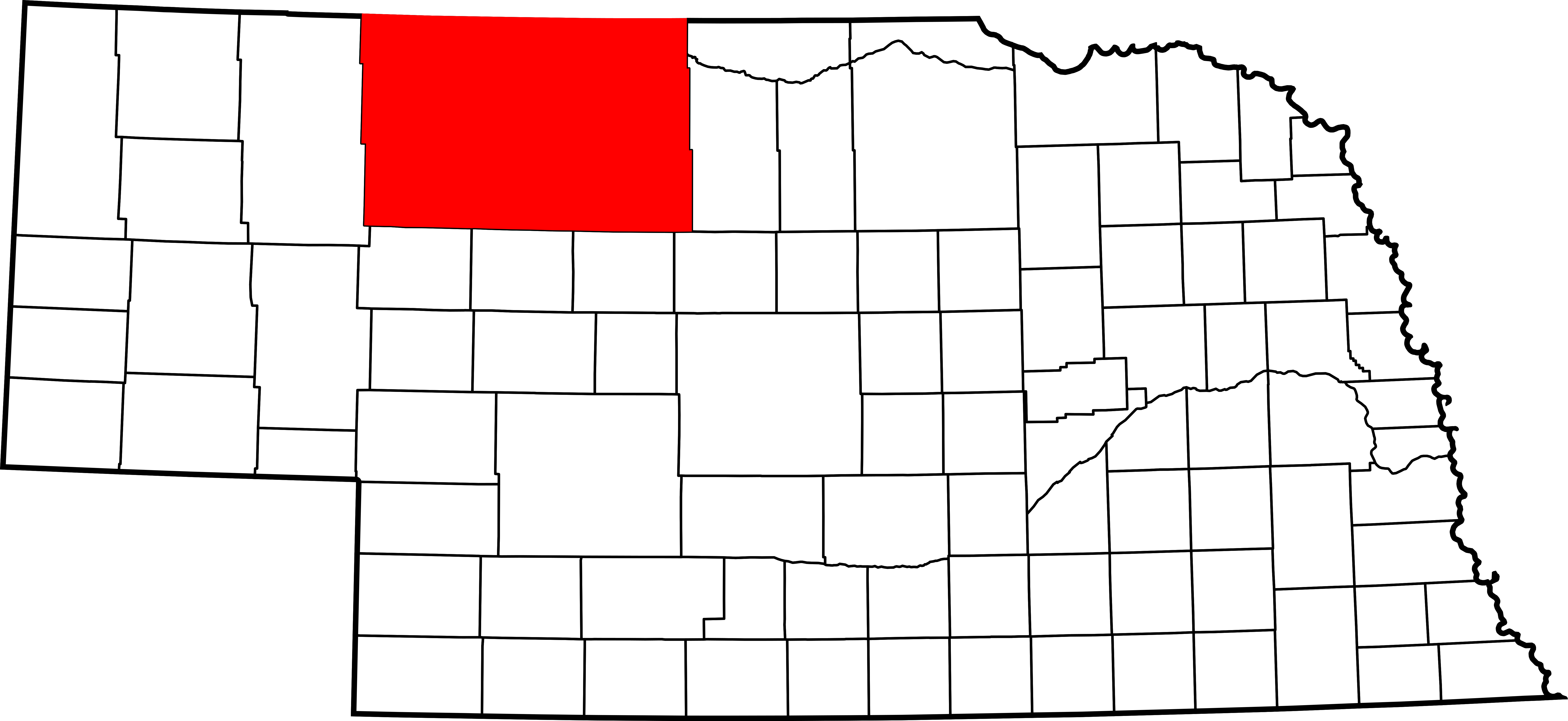
English: This is a locator map showing Cherry County in Nebraska. For more information, see Commons:United States county locator maps. |
| Date | |
| Source |
Own work: English: The maps use data from nationalatlas.gov, specifically countyp020.tar.gz on the Raw Data Download page. The maps also use state outline data from statesp020.tar.gz. The Florida maps use hydrogm020.tar.gz to display Lake Okeechobee. |
| Author | David Benbennick |
Licensing[edit]
| I, the copyright holder of this work, release this work into the public domain. This applies worldwide. In some countries this may not be legally possible; if so: I grant anyone the right to use this work for any purpose, without any conditions, unless such conditions are required by law. |
File history
Click on a date/time to view the file as it appeared at that time.
| Date/Time | Thumbnail | Dimensions | User | Comment | |
|---|---|---|---|---|---|
| current | 13:32, 12 February 2006 | | 7,414 × 3,411 (34 KB) | David Benbennick (talk | contribs) | {{subst:User:Dbenbenn/clm|county=Cherry County|state=Nebraska|type=county}} |
You cannot overwrite this file.
File usage
The following 8 pages use this file:
- Category:Births in Cherry County, Nebraska
- Category:Bridges in Cherry County, Nebraska
- Category:Cherry County, Nebraska
- Category:Geography of Cherry County, Nebraska
- Category:Maps of Cherry County, Nebraska
- Category:People of Cherry County, Nebraska
- Category:Populated places in Cherry County, Nebraska
- Category:Transport in Cherry County, Nebraska
Global file usage
The following other wikis use this file:
- Usage on ar.wikipedia.org
- Usage on bg.wikipedia.org
- Usage on bpy.wikipedia.org
- Usage on ca.wikipedia.org
- Usage on cdo.wikipedia.org
- Usage on ceb.wikipedia.org
- Usage on ce.wikipedia.org
- Usage on cy.wikipedia.org
- Usage on de.wikipedia.org
- Usage on en.wikipedia.org
- List of counties in Nebraska
- Cherry County, Nebraska
- Cody, Nebraska
- Crookston, Nebraska
- Kilgore, Nebraska
- Merriman, Nebraska
- Nenzel, Nebraska
- Valentine, Nebraska
- Wood Lake, Nebraska
- Template:Cherry County, Nebraska
- DeWitty, Nebraska
- Spade Ranch (Nebraska)
- Elsmere, Nebraska
- Sparks, Nebraska
- User:Nyttend/County templates/NE
- National Register of Historic Places listings in Cherry County, Nebraska
- Category:Populated places in Cherry County, Nebraska
- Adamson Bridge
- Bell Bridge
- Berry State Aid Bridge
- Borman Bridge
- Dry Valley Church and Cemetery
- F.M. Walcott House
- Brewer Bridge
- Twin Bridge (Brownlee, Nebraska)
- Cherry County Courthouse
- Bryan Bridge
- Valentine Public School
- United States Post Office-Valentine
View more global usage of this file.