File:Map of Quebec.png
Siirry navigaatioon
Siirry hakuun

Tämän esikatselun koko: 569 × 600 kuvapistettä. Muut resoluutiot: 228 × 240 kuvapistettä | 455 × 480 kuvapistettä.
Alkuperäinen tiedosto (800 × 843 kuvapistettä, 316 KiB, MIME-tyyppi: image/png)
Kuvatekstit
Kuvatekstit
Lisää yhden rivin pituinen kuvaus tästä tiedostosta
| Kuvaus |
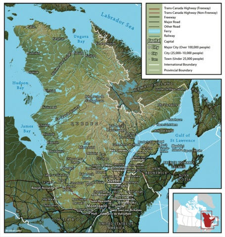
English: Map of Québec
Français : Carte du Québec |
||
| Päiväys | |||
| Lähde | en:Image:Map of Quebec (English).png created by John Fowler (cartographer), who released the image to the public domain. Geospatial data from: The Atlas of Canada, The National Atlas of the United States and U.S. Geological Survey. | ||
| Tekijä | John Fowler / Upload by Leslie | ||
| Käyttöoikeus (Tämän tiedoston uudelleenkäyttö) |
|
||
| Muut versiot |
Français : Version française Image:Map of Quebec-fr.png
English: French version Image:Map of Quebec-fr.png |
.png)
Tiedoston historia
Päiväystä napsauttamalla näet, millainen tiedosto oli kyseisellä hetkellä.
| Päiväys | Pienoiskuva | Koko | Käyttäjä | Kommentti | |
|---|---|---|---|---|---|
| nykyinen | 26. helmikuuta 2006 kello 09.22 | | 800 × 843 (316 KiB) | Leslie (keskustelu | muokkaukset) | {{PD}} Created by John Fowler, who released the image to the public domain. en:Image:Map of Quebec (English).png Category:Québec |
Et voi tallentaa uutta tiedostoa tämän tilalle.
Tiedoston käyttö
Seuraavat 3 sivua käyttävät tätä tiedostoa:
Tiedoston järjestelmänlaajuinen käyttö
Seuraavat muut wikit käyttävät tätä tiedostoa:
- Käyttö kohteessa en.wikipedia.org
- Käyttö kohteessa et.wikipedia.org
- Käyttö kohteessa fi.wikipedia.org
- Käyttö kohteessa he.wikipedia.org
- Käyttö kohteessa it.wikipedia.org
- Käyttö kohteessa mk.wikipedia.org
- Käyttö kohteessa nl.wikipedia.org
- Käyttö kohteessa no.wikipedia.org
- Käyttö kohteessa zh.wikipedia.org