File:Map of Russia - Altai Krai (with Crimea).svg
(Redirected from File:Map of Russia - Altai Krai.svg)

Size of this PNG preview of this SVG file: 800 × 440 pixels. Other resolutions: 320 × 176 pixels | 640 × 352 pixels | 1,024 × 563 pixels | 1,280 × 704 pixels | 2,560 × 1,407 pixels | 1,541 × 847 pixels.
Original file (SVG file, nominally 1,541 × 847 pixels, file size: 385 KB)
Captions
Captions
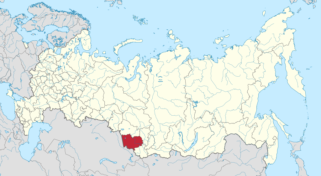
Map of Altai Krai within Russia.

|
The boundaries on this map show the de facto situation. This is just one of several different views on the subject (see COM:NPOV). |
Summary[edit]
.svg&action=edit§ion=1)
| Description |
Русский: Алтайский край на карте России |
| Date | |
| Source | Own work |
| Author | Stasyan117 |
Licensing[edit]
.svg&action=edit§ion=2)
I, the copyright holder of this work, hereby publish it under the following license:
This file is licensed under the Creative Commons Attribution-Share Alike 4.0 International license.
- You are free:
- to share – to copy, distribute and transmit the work
- to remix – to adapt the work
- Under the following conditions:
- attribution – You must give appropriate credit, provide a link to the license, and indicate if changes were made. You may do so in any reasonable manner, but not in any way that suggests the licensor endorses you or your use.
- share alike – If you remix, transform, or build upon the material, you must distribute your contributions under the same or compatible license as the original.
File history
Click on a date/time to view the file as it appeared at that time.
| Date/Time | Thumbnail | Dimensions | User | Comment | |
|---|---|---|---|---|---|
| current | 18:47, 20 December 2021 | | 1,541 × 847 (385 KB) | Self-Perfection (talk | contribs) | Otimized with <code><nowiki>svgcleaner --remove-comments no --remove-title false --remove-desc false --remove-metadata false --indent=tabs --remove-text-attributes no</nowiki></code> |
| 19:21, 21 April 2015 |  | 1,541 × 847 (6.56 MB) | Stasyan117 (talk | contribs) | User created page with UploadWizard |
You cannot overwrite this file.
File usage on Commons
The following 3 pages use this file:
.svg)
File usage on other wikis
The following other wikis use this file:
- Usage on cs.wikipedia.org
- Usage on en.wikipedia.org
- Usage on en.wiktionary.org
- Usage on incubator.wikimedia.org
- Usage on ja.wikipedia.org
- Usage on ru.wikimedia.org
.svg&oldid=805575656)