File:Map of South Dakota highlighting Todd County.svg
Jump to navigation
Jump to search

Size of this PNG preview of this SVG file: 800 × 492 pixels. Other resolutions: 320 × 197 pixels | 640 × 394 pixels | 1,024 × 630 pixels | 1,280 × 788 pixels | 2,560 × 1,576 pixels | 6,226 × 3,832 pixels.
Original file (SVG file, nominally 6,226 × 3,832 pixels, file size: 47 KB)
Captions
Captions
Add a one-line explanation of what this file represents
Summary[edit]
| Description |
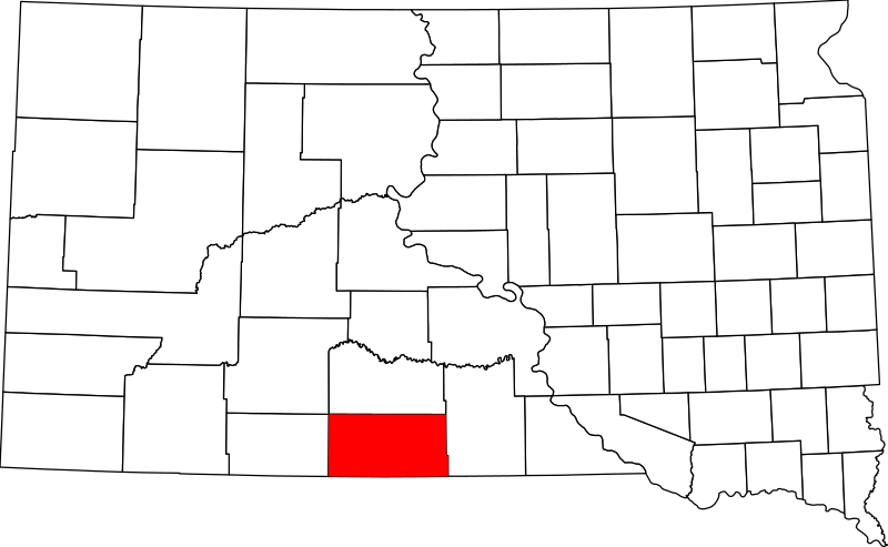
English: This is a locator map showing Todd County in South Dakota. For more information, see Commons:United States county locator maps. |
| Date | |
| Source |
Own work: English: The maps use data from nationalatlas.gov, specifically countyp020.tar.gz on the Raw Data Download page. The maps also use state outline data from statesp020.tar.gz. The Florida maps use hydrogm020.tar.gz to display Lake Okeechobee. |
| Author | David Benbennick |
Licensing[edit]
| I, the copyright holder of this work, release this work into the public domain. This applies worldwide. In some countries this may not be legally possible; if so: I grant anyone the right to use this work for any purpose, without any conditions, unless such conditions are required by law. |
File history
Click on a date/time to view the file as it appeared at that time.
| Date/Time | Thumbnail | Dimensions | User | Comment | |
|---|---|---|---|---|---|
| current | 16:30, 12 February 2006 | | 6,226 × 3,832 (47 KB) | David Benbennick (talk | contribs) | {{subst:User:Dbenbenn/clm|county=Todd County|state=South Dakota|type=county}} |
You cannot overwrite this file.
File usage on Commons
The following 3 pages use this file:
File usage on other wikis
The following other wikis use this file:
- Usage on ar.wikipedia.org
- Usage on bpy.wikipedia.org
- Usage on ca.wikipedia.org
- Usage on cdo.wikipedia.org
- Usage on ceb.wikipedia.org
- Usage on ce.wikipedia.org
- Usage on cy.wikipedia.org
- Usage on de.wikipedia.org
- Usage on en.wikipedia.org
- List of counties in South Dakota
- Todd County, South Dakota
- Antelope, South Dakota
- Mission, South Dakota
- Parmelee, South Dakota
- Rosebud, South Dakota
- Spring Creek, South Dakota
- St. Francis, South Dakota
- Two Strike, South Dakota
- White Horse, South Dakota
- Winner, South Dakota
- Okreek, South Dakota
- Rosebud Indian Reservation
- Template:Todd County, South Dakota
- User:Nyttend/County templates/SD
- National Register of Historic Places listings in Todd County, South Dakota
- Category:Populated places in Todd County, South Dakota
- St. Francis Mission
- Rosebud Hotel
- Spotted Tail Gravesite
- Hidden Timber, South Dakota
- Lakeview, South Dakota
- Soldier Creek, South Dakota
- Upper Cut Meat, South Dakota
- Sicangu Village, South Dakota
- Template:NRHP in Todd County, South Dakota
- Usage on es.wikipedia.org
View more global usage of this file.