File:Map of Tateyama Bay.png
Jump to navigation
Jump to search

Size of this preview: 800 × 508 pixels. Other resolutions: 320 × 203 pixels | 640 × 407 pixels | 1,024 × 651 pixels | 1,280 × 814 pixels | 1,693 × 1,076 pixels.
Original file (1,693 × 1,076 pixels, file size: 1.64 MB, MIME type: image/png)
Captions
Captions
Add a one-line explanation of what this file represents
Summary
[edit]
| Description |
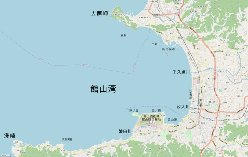
日本語: 館山湾地図。千葉県南房総市、館山市。
English: Map of Tateyama Bay in Minami-Boso and Tateyama, Chiba pref Japan. |
| Date | |
| Source | OpenStreetMap |
| Author | OpenStreetMap contributors |
Licensing
[edit]
| This work contains information from OpenStreetMap, which is made available under the Open Database License (ODbL).
The ODbL does not require any particular license for maps produced from ODbL data. Prior to 1 August 2020, map tiles produced by the OpenStreetMap Foundation were licensed under the CC-BY-SA-2.0 license. Maps produced by other people may be subject to other licences. |
File history
Click on a date/time to view the file as it appeared at that time.
| Date/Time | Thumbnail | Dimensions | User | Comment | |
|---|---|---|---|---|---|
| current | 10:24, 20 January 2021 | | 1,693 × 1,076 (1.64 MB) | Krorokeroro (talk | contribs) | added place names |
| 17:05, 19 January 2021 |  | 1,693 × 1,076 (1.64 MB) | Krorokeroro (talk | contribs) | Uploaded a work by OpenStreetMap contributors from OpenStreetMap with UploadWizard |
You cannot overwrite this file.
File usage on Commons
The following page uses this file:
File usage on other wikis
The following other wikis use this file: