File:Map of USA KS.svg
Siirry navigaatioon
Siirry hakuun

Tämän PNG-esikatselun koko koskien SVG-tiedostoa: 286 × 186 kuvapistettä. Muut resoluutiot: 320 × 208 kuvapistettä | 640 × 416 kuvapistettä | 1 024 × 666 kuvapistettä | 1 280 × 832 kuvapistettä | 2 560 × 1 665 kuvapistettä.
Alkuperäinen tiedosto (SVG-tiedosto; oletustarkkuus 286 × 186 kuvapistettä; tiedostokoko 167 KiB)
Kuvatekstit
Kuvatekstit
Lisää yhden rivin pituinen kuvaus tästä tiedostosta
Clickable version
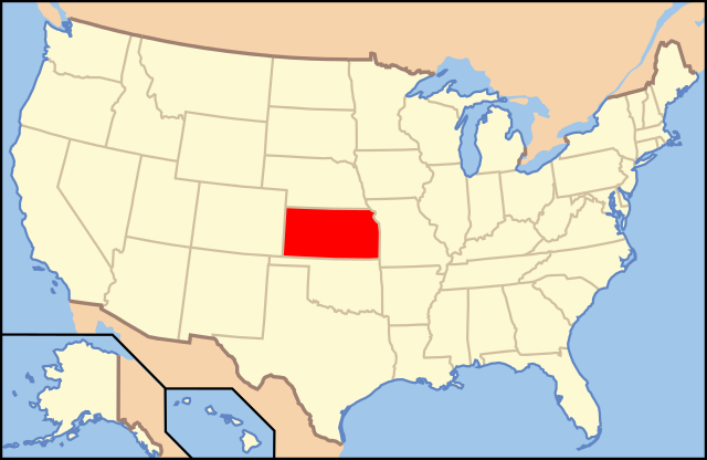
| Kuvaus | Map of USA with Kansas highlighted | ||||||||
| Päiväys | see file history below. | ||||||||
| Lähde | own work by uploader, based on Image:Map of USA without state names.svg | ||||||||
| Tekijä |
This version: uploader Base versions this one is derived from: originally created by en:User:Wapcaplet |
||||||||
| Käyttöoikeus (Tämän tiedoston uudelleenkäyttö) |
Tämä tiedosto on lisensoitu Creative Commons Nimeä 2.0 Yleinen -lisenssillä.
|
||||||||
| Muut versiot | image:Map of USA with state names.svg |

Tiedoston historia
Päiväystä napsauttamalla näet, millainen tiedosto oli kyseisellä hetkellä.
| Päiväys | Pienoiskuva | Koko | Käyttäjä | Kommentti | |
|---|---|---|---|---|---|
| nykyinen | 31. elokuuta 2012 kello 17.53 | | 286 × 186 (167 KiB) | Homoatrox (keskustelu | muokkaukset) | the map is used for Kansas, not Iowa |
| 30. elokuuta 2012 kello 19.49 |  | 1 181 × 731 (3,46 MiB) | Nixarx (keskustelu | muokkaukset) | I change the map because in the other map the state which is indicate is Kansas, not Iowa. The article treats about Council Bluffs (Iowa). | |
| 30. elokuuta 2012 kello 19.49 |  | 1 181 × 731 (3,46 MiB) | Nixarx (keskustelu | muokkaukset) | I change the map because in the other map the state which is indicates is Kansas, not Iowa. The article treats about Council Bluffs (Iowa). | |
| 9. kesäkuuta 2006 kello 06.36 |  | 286 × 186 (167 KiB) | Huebi~commonswiki (keskustelu | muokkaukset) | {{Information| |Description=Map of USA with Kansas highlighted |other_versions=image:Map of USA with state names.svg }} Category:Maps of the United States Category:Maps of Kansas Category:SVG maps {{GFDL-en}}{{cc-by-2.0}}{{cc-by-sa-1.0} |
Et voi tallentaa uutta tiedostoa tämän tilalle.
Tiedoston käyttö
Seuraavat 22 sivua käyttävät tätä tiedostoa:
- Locator maps for U.S. states
- File:Map of USA KS.svg
- File:Map of USA highlighting Kansas.png
- Category:Births in Cowley County, Kansas
- Category:Births in Marshall County, Kansas
- Category:Cities in Kansas
- Category:Cowley County, Kansas
- Category:Deaths in Cowley County, Kansas
- Category:Geography of Cowley County, Kansas
- Category:Geography of Marshall County, Kansas
- Category:Locator maps of cities in Kansas
- Category:Locator maps of counties of Kansas
- Category:Maps of Catholic dioceses of Kansas
- Category:Maps of Cowley County, Kansas
- Category:Maps of Kansas
- Category:Maps of Marshall County, Kansas
- Category:Marshall County, Kansas
- Category:People of Cowley County, Kansas
- Category:People of Marshall County, Kansas
- Category:Populated places in Marshall County, Kansas
- Category:Transport in Cowley County, Kansas
- Category:Videos from Kansas
Tiedoston järjestelmänlaajuinen käyttö
Seuraavat muut wikit käyttävät tätä tiedostoa:
- Käyttö kohteessa af.wikipedia.org
- Käyttö kohteessa ang.wikipedia.org
- Käyttö kohteessa an.wikipedia.org
- Käyttö kohteessa arc.wikipedia.org
- Käyttö kohteessa ay.wikipedia.org
- Käyttö kohteessa az.wiktionary.org
- Käyttö kohteessa ba.wikipedia.org
- Käyttö kohteessa bcl.wikipedia.org
- Käyttö kohteessa bg.wikipedia.org
- Чейс (окръг, Канзас)
- Чотокуа (окръг, Канзас)
- Чероки (окръг, Канзас)
- Шайен (окръг, Канзас)
- Кларк (окръг, Канзас)
- Клей (окръг, Канзас)
- Клауд (окръг, Канзас)
- Кофи (окръг, Канзас)
- Команчи (окръг, Канзас)
- Каули (окръг, Канзас)
- Крофорд (окръг, Канзас)
- Дикейтър (окръг, Канзас)
- Дикинсън (окръг, Канзас)
- Донифан (окръг, Канзас)
- Дъглас (окръг, Канзас)
- Едуардс (окръг, Канзас)
- Елк (окръг, Канзас)
- Елис (окръг, Канзас)
- Елсуърт (окръг, Канзас)
- Фини (окръг, Канзас)
- Форд (окръг, Канзас)
- Франклин (окръг, Канзас)
- Греъм (окръг, Канзас)
- Грант (окръг, Канзас)
- Грей (окръг, Канзас)
- Грийли (окръг, Канзас)
- Грийнуд (окръг, Канзас)
- Хамилтън (окръг, Канзас)
- Харпър (окръг, Канзас)
- Харви (окръг, Канзас)
- Ходжмън (окръг, Канзас)
- Джаксън (окръг, Канзас)
- Джеферсън (окръг, Канзас)
- Джонсън (окръг, Канзас)
- Кърни (окръг, Канзас)
- Кингмън (окръг, Канзас)
- Кайоуа (окръг, Канзас)
- Лабет (окръг, Канзас)
- Лейн (окръг, Канзас)
- Левънуърт (окръг, Канзас)
Näytä lisää tämän tiedoston järjestelmänlaajuista käyttöä.