File:Map of USA KS.svg
跳转到导航
跳转到搜索

此SVG文件的PNG预览的大小:286 × 186像素。 其他分辨率:320 × 208像素 | 640 × 416像素 | 1,024 × 666像素 | 1,280 × 832像素 | 2,560 × 1,665像素。
原始文件 (SVG文件,尺寸为286 × 186像素,文件大小:167 KB)
说明
说明
添加一行文字以描述该文件所表现的内容
Clickable version
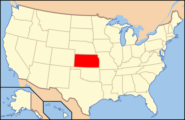
| 描述 | Map of USA with Kansas highlighted | ||||||||
| 日期 | see file history below. | ||||||||
| 来源 | own work by uploader, based on Image:Map of USA without state names.svg | ||||||||
| 作者 |
This version: uploader Base versions this one is derived from: originally created by en:User:Wapcaplet |
||||||||
| 授权 (二次使用本文件) |
|
||||||||
| 其他版本 | image:Map of USA with state names.svg |

文件历史
点击某个日期/时间查看对应时刻的文件。
| 日期/时间 | 缩略图 | 大小 | 用户 | 备注 | |
|---|---|---|---|---|---|
| 当前 | 2012年8月31日 (五) 17:53 | | 286 × 186(167 KB) | Homoatrox(留言 | 贡献) | the map is used for Kansas, not Iowa |
| 2012年8月30日 (四) 19:49 |  | 1,181 × 731(3.46 MB) | Nixarx(留言 | 贡献) | I change the map because in the other map the state which is indicate is Kansas, not Iowa. The article treats about Council Bluffs (Iowa). | |
| 2012年8月30日 (四) 19:49 |  | 1,181 × 731(3.46 MB) | Nixarx(留言 | 贡献) | I change the map because in the other map the state which is indicates is Kansas, not Iowa. The article treats about Council Bluffs (Iowa). | |
| 2006年6月9日 (五) 06:36 |  | 286 × 186(167 KB) | Huebi~commonswiki(留言 | 贡献) | {{Information| |Description=Map of USA with Kansas highlighted |other_versions=image:Map of USA with state names.svg }} Category:Maps of the United States Category:Maps of Kansas Category:SVG maps {{GFDL-en}}{{cc-by-2.0}}{{cc-by-sa-1.0} |
您不可以覆盖此文件。
文件用途
以下22个页面使用本文件:
- Locator maps for U.S. states
- File:Map of USA KS.svg
- File:Map of USA highlighting Kansas.png
- Category:Births in Cowley County, Kansas
- Category:Births in Marshall County, Kansas
- Category:Cities in Kansas
- Category:Cowley County, Kansas
- Category:Deaths in Cowley County, Kansas
- Category:Geography of Cowley County, Kansas
- Category:Geography of Marshall County, Kansas
- Category:Locator maps of cities in Kansas
- Category:Locator maps of counties of Kansas
- Category:Maps of Catholic dioceses of Kansas
- Category:Maps of Cowley County, Kansas
- Category:Maps of Kansas
- Category:Maps of Marshall County, Kansas
- Category:Marshall County, Kansas
- Category:People of Cowley County, Kansas
- Category:People of Marshall County, Kansas
- Category:Populated places in Marshall County, Kansas
- Category:Transport in Cowley County, Kansas
- Category:Videos from Kansas
全域文件用途
以下其他wiki使用此文件:
- af.wikipedia.org上的用途
- ang.wikipedia.org上的用途
- an.wikipedia.org上的用途
- arc.wikipedia.org上的用途
- ay.wikipedia.org上的用途
- az.wiktionary.org上的用途
- ba.wikipedia.org上的用途
- bcl.wikipedia.org上的用途
- bg.wikipedia.org上的用途
- Чейс (окръг, Канзас)
- Чотокуа (окръг, Канзас)
- Чероки (окръг, Канзас)
- Шайен (окръг, Канзас)
- Кларк (окръг, Канзас)
- Клей (окръг, Канзас)
- Клауд (окръг, Канзас)
- Кофи (окръг, Канзас)
- Команчи (окръг, Канзас)
- Каули (окръг, Канзас)
- Крофорд (окръг, Канзас)
- Дикейтър (окръг, Канзас)
- Дикинсън (окръг, Канзас)
- Донифан (окръг, Канзас)
- Дъглас (окръг, Канзас)
- Едуардс (окръг, Канзас)
- Елк (окръг, Канзас)
- Елис (окръг, Канзас)
- Елсуърт (окръг, Канзас)
- Фини (окръг, Канзас)
- Форд (окръг, Канзас)
- Франклин (окръг, Канзас)
- Греъм (окръг, Канзас)
- Грант (окръг, Канзас)
- Грей (окръг, Канзас)
- Грийли (окръг, Канзас)
- Грийнуд (окръг, Канзас)
- Хамилтън (окръг, Канзас)
- Харпър (окръг, Канзас)
- Харви (окръг, Канзас)
- Ходжмън (окръг, Канзас)
- Джаксън (окръг, Канзас)
- Джеферсън (окръг, Канзас)
- Джонсън (окръг, Канзас)
- Кърни (окръг, Канзас)
- Кингмън (окръг, Канзас)
- Кайоуа (окръг, Канзас)
- Лабет (окръг, Канзас)
- Лейн (окръг, Канзас)
- Левънуърт (окръг, Канзас)
查看此文件的更多全域用途。