File:Map of Ukraine political simple Krim alternative.png
Jump to navigation
Jump to search

Size of this preview: 800 × 559 pixels. Other resolutions: 320 × 224 pixels | 640 × 447 pixels | 1,024 × 715 pixels | 1,181 × 825 pixels.
Original file (1,181 × 825 pixels, file size: 19 KB, MIME type: image/png)
Captions
Captions
Add a one-line explanation of what this file represents
Summary
[edit]
| Description |
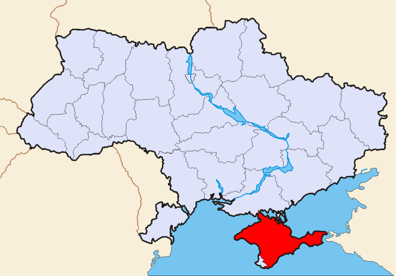
Alternative version of the map Image:Map of Ukraine political simple Oblast Krim.png by Sven Teschke. Sevastopol and Kiev are shown as national-level cities, because Sevastopol is not a part of the Autonomous Republic of Crimea. Jeroen 17:26, 18 July 2006 (UTC) |
| Date | 18 July 2006 (original upload date) |
| Source | No machine-readable source provided. Own work assumed (based on copyright claims). |
| Author | No machine-readable author provided. Jeroen assumed (based on copyright claims). |
Licensing
[edit]
I, the copyright holder of this work, hereby publish it under the following licenses:

|
Permission is granted to copy, distribute and/or modify this document under the terms of the GNU Free Documentation License, Version 1.2 or any later version published by the Free Software Foundation; with no Invariant Sections, no Front-Cover Texts, and no Back-Cover Texts. A copy of the license is included in the section entitled GNU Free Documentation License. |
| This file is licensed under the Creative Commons Attribution-Share Alike 3.0 Unported license. | ||
| ||
| This licensing tag was added to this file as part of the GFDL licensing update. |
This file is licensed under the Creative Commons Attribution-Share Alike 2.5 Generic, 2.0 Generic and 1.0 Generic license.
- You are free:
- to share – to copy, distribute and transmit the work
- to remix – to adapt the work
- Under the following conditions:
- attribution – You must give appropriate credit, provide a link to the license, and indicate if changes were made. You may do so in any reasonable manner, but not in any way that suggests the licensor endorses you or your use.
- share alike – If you remix, transform, or build upon the material, you must distribute your contributions under the same or compatible license as the original.
You may select the license of your choice.
File history
Click on a date/time to view the file as it appeared at that time.
| Date/Time | Thumbnail | Dimensions | User | Comment | |
|---|---|---|---|---|---|
| current | 17:26, 18 July 2006 | | 1,181 × 825 (19 KB) | Jeroen (talk | contribs) | Alternative version of the map Image:Map of Ukraine political simple Oblast Krim.png by Sven Teschke. Sevastopol and Kiev are shown as national-level cities, because Sevastopol is not a port of the Autonomous Republic of Crimea. ~~~~ |
You cannot overwrite this file.
File usage on Commons
The following page uses this file:
File usage on other wikis
The following other wikis use this file:
- Usage on et.wikipedia.org
- Usage on pl.wikivoyage.org
- Usage on ru.wikinews.org
- Usage on sv.wikipedia.org