File:Map of center of Moji in Taisho period in comparison with today.svg
Jump to navigation
Jump to search

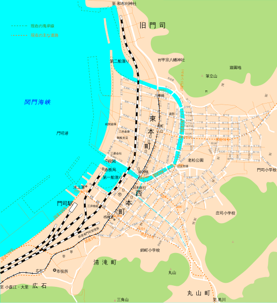
Size of this PNG preview of this SVG file: 549 × 599 pixels. Other resolutions: 220 × 240 pixels | 440 × 480 pixels | 703 × 768 pixels | 938 × 1,024 pixels | 1,876 × 2,048 pixels | 1,319 × 1,440 pixels.
Original file (SVG file, nominally 1,319 × 1,440 pixels, file size: 357 KB)
Captions
Captions
Add a one-line explanation of what this file represents
Summary
[edit]
| Description |
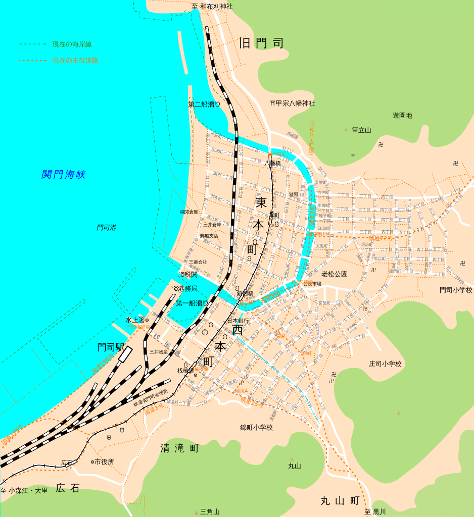
日本語: 大正時代の門司市中心部(現在の北九州市門司区・門司港地区)の略地図。対照のため、現在の海岸線及び主な道路を点線で表示している。
大正時代の海岸線、運河、山地、鉄道、軌道及び主な道路は、陸地測量部1925年(大正14年)発行の2.5万地形図(旧版地図)「下關」、現在の海岸線及び主な道路は、国土地理院地図を下図とし、それぞれ大まかにトレースした。これらは、緯度経度等の位置座標を有しない成果物の作成であって、作成する成果物が測量成果としての正確さを要しないものであるから、複製又は使用の承認を要しない(国土地理院の地図の利用手続)。 大正時代の街路名等の地名、官公署・施設等の所在地は、駸々堂旅行案内部1924年(大正13年)発行「門司新市街圖」を参考とした。 |
| Date | |
| Source | Own work |
| Author | ゴーヤーズ |
Licensing
[edit]
I, the copyright holder of this work, hereby publish it under the following license:
This file is licensed under the Creative Commons Attribution-Share Alike 4.0 International license.
- You are free:
- to share – to copy, distribute and transmit the work
- to remix – to adapt the work
- Under the following conditions:
- attribution – You must give appropriate credit, provide a link to the license, and indicate if changes were made. You may do so in any reasonable manner, but not in any way that suggests the licensor endorses you or your use.
- share alike – If you remix, transform, or build upon the material, you must distribute your contributions under the same or compatible license as the original.
File history
Click on a date/time to view the file as it appeared at that time.
| Date/Time | Thumbnail | Dimensions | User | Comment | |
|---|---|---|---|---|---|
| current | 13:28, 9 May 2020 | | 1,319 × 1,440 (357 KB) | ゴーヤーズ (talk | contribs) | Uploaded own work with UploadWizard |
You cannot overwrite this file.
File usage on Commons
There are no pages that use this file.
File usage on other wikis
The following other wikis use this file:
- Usage on ja.wikipedia.org