File:Map of the Holy League in 1595.svg
Zur Navigation springen
Zur Suche springen

Größe der PNG-Vorschau dieser SVG-Datei: 690 × 599 Pixel. Weitere Auflösungen: 276 × 240 Pixel | 553 × 480 Pixel | 884 × 768 Pixel | 1.179 × 1.024 Pixel | 2.358 × 2.048 Pixel | 1.140 × 990 Pixel.
Originaldatei (SVG-Datei, Basisgröße: 1.140 × 990 Pixel, Dateigröße: 525 KB)
Bildtexte
Kurzbeschreibungen
Ergänze eine einzeilige Erklärung, was diese Datei darstellt.
Beschreibung[Bearbeiten]
| Beschreibung |
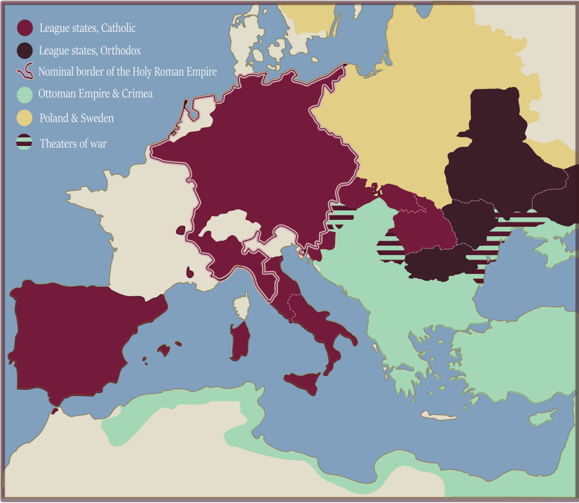
English: Map of the Holy League of Pope Clement VIII in 1594. |
| Datum | |
| Quelle | Eigenes Werk |
| Urheber | Dahn |
Lizenz[Bearbeiten]
Ich, der Urheber dieses Werkes, veröffentliche es unter der folgenden Lizenz:
Diese Datei ist lizenziert unter der Creative-Commons-Lizenz „Namensnennung – Weitergabe unter gleichen Bedingungen 4.0 international“.
- Dieses Werk darf von dir
- verbreitet werden – vervielfältigt, verbreitet und öffentlich zugänglich gemacht werden
- neu zusammengestellt werden – abgewandelt und bearbeitet werden
- Zu den folgenden Bedingungen:
- Namensnennung – Du musst angemessene Urheber- und Rechteangaben machen, einen Link zur Lizenz beifügen und angeben, ob Änderungen vorgenommen wurden. Diese Angaben dürfen in jeder angemessenen Art und Weise gemacht werden, allerdings nicht so, dass der Eindruck entsteht, der Lizenzgeber unterstütze gerade dich oder deine Nutzung besonders.
- Weitergabe unter gleichen Bedingungen – Wenn du das Material wiedermischst, transformierst oder darauf aufbaust, musst du deine Beiträge unter der gleichen oder einer kompatiblen Lizenz wie das Original verbreiten.
Dateiversionen
Klicke auf einen Zeitpunkt, um diese Version zu laden.
| Version vom | Vorschaubild | Maße | Benutzer | Kommentar | |
|---|---|---|---|---|---|
| aktuell | 11:37, 6. Mär. 2018 | | 1.140 × 990 (525 KB) | Dahn (Diskussion | Beiträge) | shores contour |
| 20:52, 4. Mär. 2018 |  | 1.140 × 990 (448 KB) | Dahn (Diskussion | Beiträge) | borders, legibility | |
| 18:26, 4. Mär. 2018 |  | 1.140 × 990 (448 KB) | Dahn (Diskussion | Beiträge) | User created page with UploadWizard |
Du kannst diese Datei nicht überschreiben.
Dateiverwendung
Die folgenden 2 Seiten verwenden diese Datei:
- User:J budissin/Uploads/BiH/2018 March 1-10
- File:Map of the Holy League in 1594.svg (Dateiweiterleitung)
Globale Dateiverwendung
Die nachfolgenden anderen Wikis verwenden diese Datei:
- Verwendung auf ar.wikipedia.org
- Verwendung auf en.wikipedia.org
- Verwendung auf es.wikipedia.org
- Verwendung auf la.wikipedia.org
- Verwendung auf ru.wikipedia.org
- Verwendung auf sr.wikipedia.org
- Verwendung auf uk.wikipedia.org
Metadaten
Kategorien:
- Long Turkish War
- Maps of 16th-century Europe
- Maps of the Holy Roman Empire
- Maps of the Habsburg Monarchy
- SVG maps of the Spanish Empire
- Maps of the Kingdom of Naples
- Maps of the Papal States
- Papal States in the 1590s
- Maps of the history of the Ottoman Empire in the 1590s
- Military maps of the Ottoman Empire
- Maps of the Principality of Moldavia
- Maps of Wallachia
- Maps of the history of Romania in the Middle Ages
- Zaporozhian Cossacks
- Maps of the history of Ukraine in the Middle Ages
- Polish–Swedish union
- SVG maps of the Polish-Lithuanian Commonwealth
- Maps of the Swedish Empire (1561-1721)
- 1595 maps
- 1595 in Europe
- 1595 in military history
- Sigismund Báthory
- Clemens VIII
- Michael the Brave
- Murad III
- Severyn Nalyvaiko
- Philip II of Spain
- Rudolf II, Holy Roman Emperor
- Sigismund III of Poland