File:Map of the Imperial Circles (1560)-en.svg
跳转到导航
跳转到搜索

此SVG文件的PNG预览的大小:613 × 600像素。 其他分辨率:245 × 240像素 | 491 × 480像素 | 785 × 768像素 | 1,046 × 1,024像素 | 2,093 × 2,048像素 | 1,165 × 1,140像素。
原始文件 (SVG文件,尺寸为1,165 × 1,140像素,文件大小:336 KB)
说明
说明
添加一行文字以描述该文件所表现的内容
摘要
[编辑]| 描述 |
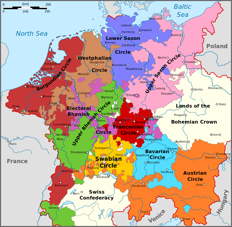
English: Map of the Imperial Circles after the Transaction of Augsburg (1548). English version.
Nederlands: Kaart van de Kreitsen na de Transactie van Augsburg (1548). Engelse versie.
Hrvatski: Karta okružja Svetog Rimskog Carstva nakon Augsburškog prijenosa iz 1548. Engleska inačica |
| 日期 | |
| 来源 | 自己的作品 |
| 作者 | Sir Iain |
| 其他版本 |
[] 1512[编辑]
1560[编辑]
|
-bg.png)
-ca.svg&lang=ca)
-de.png)
-en.png)
-es.svg)
-fr.svg)
.png)
-ca.svg&lang=ca)
-de.svg)
-en.svg)
-es.svg)
-la.svg)
-nl.svg)
-en.svg&action=edit§ion=1)
许可协议
[编辑]-en.svg&action=edit§ion=2)
我,本作品著作权人,特此采用以下许可协议发表本作品:
本文件采用知识共享署名-相同方式共享 3.0 未本地化版本许可协议授权。
- 您可以自由地:
- 共享 – 复制、发行并传播本作品
- 修改 – 改编作品
- 惟须遵守下列条件:
- 署名 – 您必须对作品进行署名,提供授权条款的链接,并说明是否对原始内容进行了更改。您可以用任何合理的方式来署名,但不得以任何方式表明许可人认可您或您的使用。
- 相同方式共享 – 如果您再混合、转换或者基于本作品进行创作,您必须以与原先许可协议相同或相兼容的许可协议分发您贡献的作品。

|
已授权您依据自由软件基金会发行的无固定段落及封面封底文字(Invariant Sections, Front-Cover Texts, and Back-Cover Texts)的GNU自由文件许可协议1.2版或任意后续版本的条款,复制、传播和/或修改本文件。该协议的副本请见“GNU Free Documentation License”。 |
您可以选择您需要的许可协议。
文件历史
点击某个日期/时间查看对应时刻的文件。
| 日期/时间 | 缩略图 | 大小 | 用户 | 备注 | |
|---|---|---|---|---|---|
| 当前 | 2010年8月14日 (六) 16:34 | | 1,165 × 1,140(336 KB) | Sir Iain(留言 | 贡献) | The upper-Palatinate was actually part of the Electoral Rhenish Circle, contrary to almost all of the existing maps. |
| 2010年6月29日 (二) 10:42 |  | 1,165 × 1,140(332 KB) | Sir Iain(留言 | 贡献) | Changed text on path to objects. Text on path wouldn't display correctly. | |
| 2010年6月29日 (二) 10:37 |  | 1,165 × 1,140(279 KB) | Sir Iain(留言 | 贡献) | {{Information |Description={{en|1=Map of the Imperial Circles after the Transaction of Augsburg (1548). English version.}} {{nl|1=Kaart van de Kreitsen na de Transactie van Augsburg (1548). Engelse versie.}} |Source={{own}} |Author=[[User:Sir Iain|Sir Iai |
您不可以覆盖此文件。
文件用途
以下16个页面使用本文件:
- File:Map of the Imperial Circles (1512)-bg.png
- File:Map of the Imperial Circles (1512)-ca.svg
- File:Map of the Imperial Circles (1512)-de.png
- File:Map of the Imperial Circles (1512)-en.png
- File:Map of the Imperial Circles (1512)-es.svg
- File:Map of the Imperial Circles (1512)-fr.svg
- File:Map of the Imperial Circles (1560)-EN.svg(文件重定向)
- File:Map of the Imperial Circles (1560)-ca.svg
- File:Map of the Imperial Circles (1560)-de.svg
- File:Map of the Imperial Circles (1560)-en.svg
- File:Map of the Imperial Circles (1560)-es.svg
- File:Map of the Imperial Circles (1560)-la.svg
- File:Map of the Imperial Circles (1560)-nl.svg
- File:Német-római Birodalom körzetei (1512).png
- Template:Other versions/Map of the Imperial Circles
- Category:Reichskreise
-ca.svg)
-EN.svg&redirect=no)
-ca.svg)
全域文件用途
以下其他wiki使用此文件:
- az.wikipedia.org上的用途
- cs.wikipedia.org上的用途
- el.wikipedia.org上的用途
- en.wikipedia.org上的用途
- et.wikipedia.org上的用途
- fi.wikipedia.org上的用途
- hr.wikipedia.org上的用途
- id.wikipedia.org上的用途
- ja.wikipedia.org上的用途
- ko.wikipedia.org上的用途
- lt.wikipedia.org上的用途
- Senoji konfederacija
- Cešyno kunigaikštystė
- Nysos kunigaikštystė
- Racibužo kunigaikštystė
- Opolės kunigaikštystė
- Bžego kunigaikštystė
- Legnicos kunigaikštystė
- Gloguvo kunigaikštystė
- Parmos hercogystė
- Milano hercogystė
- Čekijos karalystė
- Monferato marka
- Frankonijos imperinė apygarda
- Austrijos imperinė apygarda
- Šablonas:Šventosios Romos imperijos teritorijos
- Burgundijos imperinė apygarda
- Žemutinio Reino-Vestfalijos imperinė apygarda
- Italijos karalystė (viduramžiai)
- Moravijos markgrafystė
- lv.wikipedia.org上的用途
- no.wikipedia.org上的用途
- pt.wikipedia.org上的用途
- sh.wikipedia.org上的用途
- sr.wikipedia.org上的用途
- tr.wikipedia.org上的用途
- uk.wikipedia.org上的用途
查看此文件的更多全域用途。
-en.svg)
-en.svg&oldid=606469070)