File:Map shows neighbourhoods of Charlottetown, Canada.png
Jump to navigation
Jump to search

Size of this preview: 800 × 478 pixels. Other resolutions: 320 × 191 pixels | 640 × 382 pixels | 1,024 × 612 pixels | 1,280 × 765 pixels | 1,908 × 1,140 pixels.
Original file (1,908 × 1,140 pixels, file size: 96 KB, MIME type: image/png)
Captions
Captions
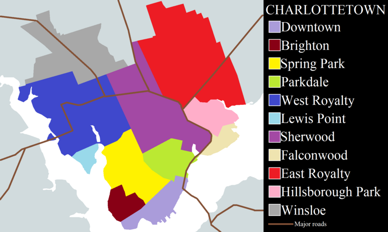
Map of Charlottetown's neighbourhoods
Summary
[edit]
| Description |
English: Map of Charlottetown, capital of Prince Edward Island, a province of Canada. |
| Date | |
| Source |
Own work Reference: Charlottetown Home Inspections |
| Author | Daeva Trạc |
Licensing
[edit]
I, the copyright holder of this work, hereby publish it under the following license:
This file is licensed under the Creative Commons Attribution 4.0 International license.
- You are free:
- to share – to copy, distribute and transmit the work
- to remix – to adapt the work
- Under the following conditions:
- attribution – You must give appropriate credit, provide a link to the license, and indicate if changes were made. You may do so in any reasonable manner, but not in any way that suggests the licensor endorses you or your use.
File history
Click on a date/time to view the file as it appeared at that time.
| Date/Time | Thumbnail | Dimensions | User | Comment | |
|---|---|---|---|---|---|
| current | 02:42, 22 December 2023 | | 1,908 × 1,140 (96 KB) | Daeva Trạc (talk | contribs) | Increased resolution, added roads |
| 02:35, 25 November 2023 |  | 950 × 586 (33 KB) | Daeva Trạc (talk | contribs) | Adjusted borders | |
| 02:05, 11 November 2023 |  | 950 × 586 (33 KB) | Daeva Trạc (talk | contribs) | Uploaded own work with UploadWizard |
You cannot overwrite this file.
File usage on Commons
The following page uses this file:
File usage on other wikis
The following other wikis use this file:
- Usage on en.wikipedia.org