File:Mapa de localización Cochabamba (Bolivia).svg
Jump to navigation
Jump to search

Size of this PNG preview of this SVG file: 512 × 544 pixels. Other resolutions: 226 × 240 pixels | 452 × 480 pixels | 723 × 768 pixels | 964 × 1,024 pixels | 1,927 × 2,048 pixels.
Original file (SVG file, nominally 512 × 544 pixels, file size: 4.2 MB)
Captions
Captions
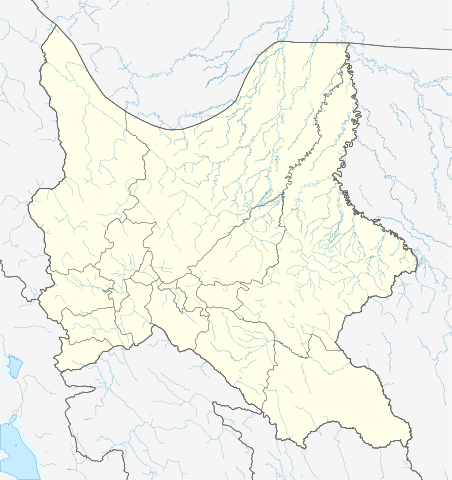
Location map of Cochabamba.
Summary[edit]
| Description |
Español: Mapa de localización del departamento de Cochabamba.
Proyección equirectangular:
English: Location map of Cochabamba departament.
Equirectangular projection, geographic limits of the map:
|
| Date | |
| Source |
Own work using:
|
| Author | Waterloo1883 |
| Other versions |
|
.svg)
.svg&action=edit§ion=1)
Licensing[edit]
.svg&action=edit§ion=2)
I, the copyright holder of this work, hereby publish it under the following license:
This file is licensed under the Creative Commons Attribution-Share Alike 4.0 International license.
- You are free:
- to share – to copy, distribute and transmit the work
- to remix – to adapt the work
- Under the following conditions:
- attribution – You must give appropriate credit, provide a link to the license, and indicate if changes were made. You may do so in any reasonable manner, but not in any way that suggests the licensor endorses you or your use.
- share alike – If you remix, transform, or build upon the material, you must distribute your contributions under the same or compatible license as the original.
File history
Click on a date/time to view the file as it appeared at that time.
| Date/Time | Thumbnail | Dimensions | User | Comment | |
|---|---|---|---|---|---|
| current | 22:21, 28 June 2021 | | 512 × 544 (4.2 MB) | Waterloo1883 (talk | contribs) | Uploaded own work with UploadWizard |
You cannot overwrite this file.
File usage on Commons
The following 2 pages use this file:
File usage on other wikis
The following other wikis use this file:
- Usage on es.wikipedia.org
- Cochabamba
- Batalla de Viluma
- Aiquile
- Villa Capinota
- Arani
- Aranjuez (Bolivia)
- Quillacollo
- Aeropuerto Internacional Jorge Wilstermann
- Maravillas (Bolivia)
- Mizque
- Bolívar (Cochabamba)
- Punata
- Vacas (Bolivia)
- Estadio Félix Capriles
- Santa Anita (Bolivia)
- Cliza
- Totora (Cochabamba)
- Tarata (Bolivia)
- Mariposas (Bolivia)
- Independencia (Bolivia)
- Wikiproyecto:Ilustración/Taller de Cartografía/Realizaciones/América del Sur
- Colcapirhua
- Sacabamba
- Anzaldo
- Tiquipaya
- Morochata
- Vinto
- San José Kami
- El Paso (Bolivia)
- Arque (Bolivia)
- Sipe Sipe
- Pojo (municipio)
- Pasorapa
- Omereque
- Ivirgarzama
- Entre Ríos (Cochabamba)
- Pandoja
- Shinahota
- Arbieto
- Tolata
- Estadio Bicentenario de Villa Tunari
- Bulo Bulo
- Río Blanco (Cochabamba)
- San Benito (Bolivia)
- Alalay
- Vila Vila
- Pocona
- Cocapata
- Cuchumuela
- Tiraque
View more global usage of this file.
.svg)
.svg&oldid=797121924)