File:Mapa Del Interior de la República Argentina 03 (Signatur HK1640.3).jpg
Jump to navigation
Jump to search

Size of this preview: 544 × 600 pixels. Other resolutions: 218 × 240 pixels | 435 × 480 pixels | 696 × 768 pixels | 929 × 1,024 pixels | 1,857 × 2,048 pixels | 6,666 × 7,351 pixels.
Original file (6,666 × 7,351 pixels, file size: 16.41 MB, MIME type: image/jpeg)
Captions
Captions
Add a one-line explanation of what this file represents
Summary
[edit].jpg&action=edit§ion=1)
| Description |
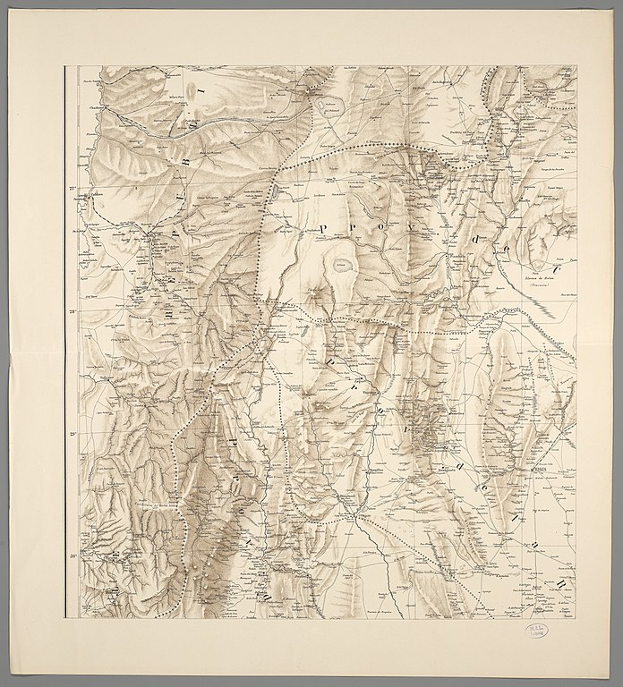
Deutsch: 1 Karte auf 6 Blättern: teilweise koloriert (Gesamtgr. 98 x 161 cm, je Teil ca. 46 x 50 cm). Maßstab 1 : 1 000 000. Koordinaten W 70°55'00"-W 66°30'00"/S 21°23'00"-S 26°00'00". Maßstab in graph. Form (Kilometros, millas geográficas). Titel auf HK 1640.2. Maßstab und Erkl. der Zeichen auf HK 1640.4. Relief: Plastisch. Altkarte. Kartenanordnungː mitte links. |
| Date | |
| Source | Leibniz-Institut für Länderkunde e.V., Leipzig |
| Author | Brackebusch, Ludwig ; Hellfarth, Carl |
Licensing
[edit].jpg&action=edit§ion=2)
| This file is made available under the Creative Commons CC0 1.0 Universal Public Domain Dedication. | |
| The person who associated a work with this deed has dedicated the work to the public domain by waiving all of their rights to the work worldwide under copyright law, including all related and neighboring rights, to the extent allowed by law. You can copy, modify, distribute and perform the work, even for commercial purposes, all without asking permission.
|
File history
Click on a date/time to view the file as it appeared at that time.
| Date/Time | Thumbnail | Dimensions | User | Comment | |
|---|---|---|---|---|---|
| current | 11:21, 22 May 2019 | | 6,666 × 7,351 (16.41 MB) | Higgenhorscht (talk | contribs) | User created page with UploadWizard |
You cannot overwrite this file.
File usage on Commons
The following page uses this file:
.jpg&oldid=897356317)