File:Mapa da 7ª Região Militar do Exército do Brasil.svg
Jump to navigation
Jump to search

Size of this PNG preview of this SVG file: 613 × 600 pixels. Other resolutions: 245 × 240 pixels | 490 × 480 pixels | 785 × 768 pixels | 1,046 × 1,024 pixels | 2,093 × 2,048 pixels | 702 × 687 pixels.
Original file (SVG file, nominally 702 × 687 pixels, file size: 678 KB)
Captions
Captions
Add a one-line explanation of what this file represents
| Description | |||||||||
| Date |
Português: 12 de maio de 2008. |
||||||||
| Source |
Português: Fiz a partir da imagem Brazil_State_Bahia.svg e da circunscrição eclesiástica católica brasileira chamada Regional Nordeste II. |
||||||||
| Author |
by Luan |
||||||||
| Permission (Reusing this file) |
I, the copyright holder of this work, hereby publish it under the following licenses:
This file is licensed under the Creative Commons Attribution 2.5 Generic license.
You may select the license of your choice. |

File history
Click on a date/time to view the file as it appeared at that time.
| Date/Time | Thumbnail | Dimensions | User | Comment | |
|---|---|---|---|---|---|
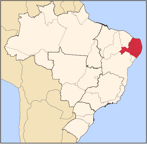
| current | 01:43, 13 May 2008 | | 702 × 687 (678 KB) | Luan (talk | contribs) | {{User:Raphael.lorenzeto/DerivativeMaps}} {{subst:user:luan/byme |Description={{pt|Mapa da pt:7ª Região Militar do pt:Exército Brasileiro.}} |Source=Image:Brazil_State_Bahia, by User:Raphael.lorenzeto |Date={{pt|12 de maio de 2008. |
You cannot overwrite this file.
File usage on Commons
There are no pages that use this file.
File usage on other wikis
The following other wikis use this file:
- Usage on pt.wikipedia.org