File:Mapa loc Antártica.svg
跳至導覽
跳至搜尋

此 SVG 檔案的 PNG 預覽的大小:400 × 600 像素。 其他解析度:160 × 240 像素 | 320 × 480 像素 | 512 × 768 像素 | 682 × 1,024 像素 | 1,365 × 2,048 像素。
原始檔案 (SVG 檔案,表面大小:400 × 600 像素,檔案大小:1.22 MB)
說明
說明
添加單行說明來描述出檔案所代表的內容
| 描述 |
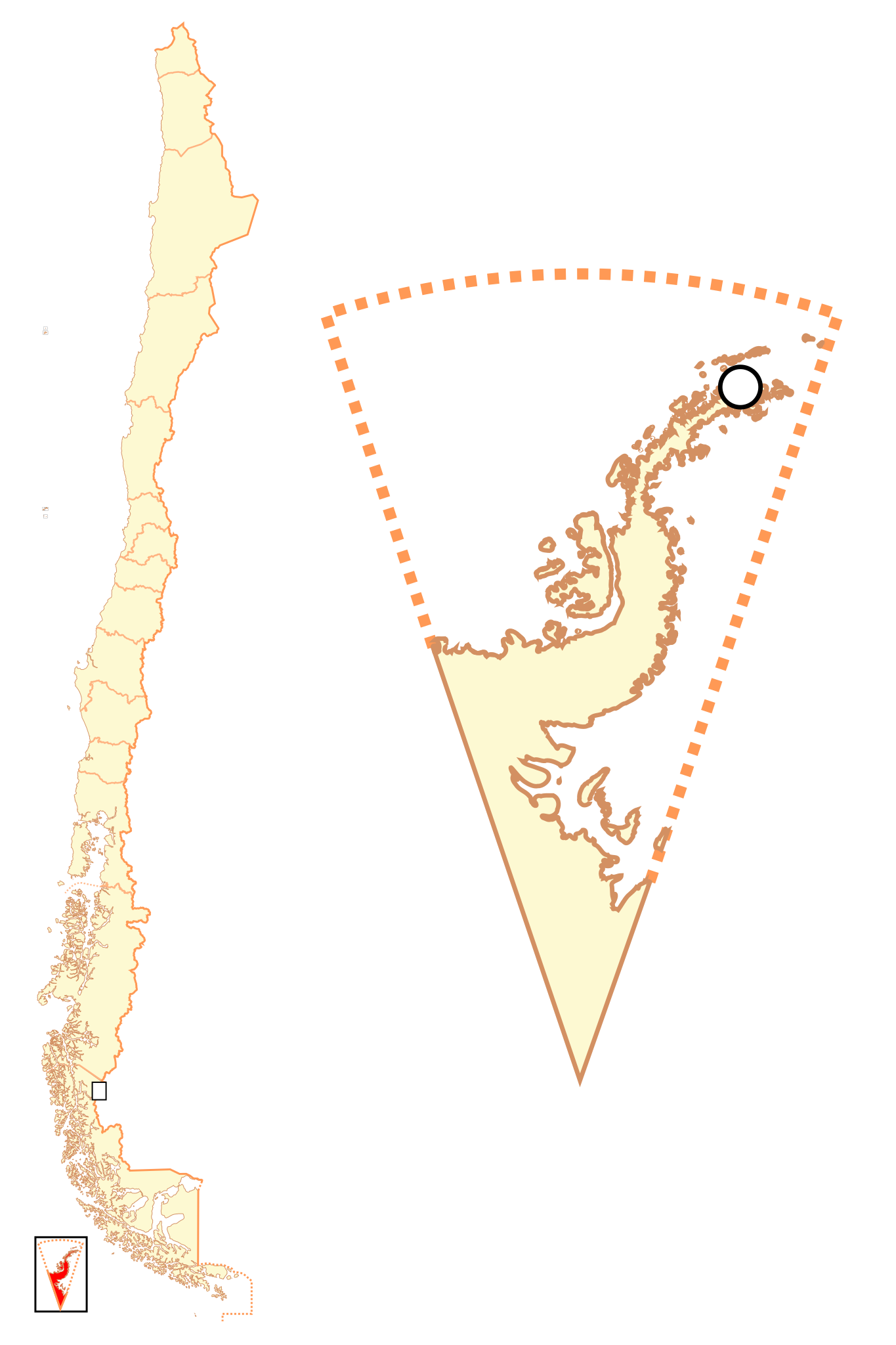
Español: Mapa localizador del Territorio Chileno Antártico |
| 日期 | |
| 來源 | 自己的作品 |
| 作者 | B1mbo |
| 授權許可 (重用此檔案) |
我,本作品的著作權持有者,決定用以下授權條款發佈本作品: 此檔案採用創用CC 姓名標示-相同方式分享 2.5 通用版授權條款。
|
| Legal disclaimer
The edition and circulation of maps, geographic charts and other documents about the boundaries and frontiers of Chile, don't have any relation with the Republic of Chile, according to the Article 2 g) of DFL Nº83 of 1979 of the Ministery of Foreign Affairs. La edición y circulación de mapas, cartas geográficas y otros documentos sobre los límites y fronteras de Chile no tienen relación alguna con la República de Chile de acuerdo al artículo 2 g) del DFL Nº83 de 1979 del Ministerio de Relaciones Exteriores. |
檔案歷史
點選日期/時間以檢視該時間的檔案版本。
| 日期/時間 | 縮圖 | 尺寸 | 使用者 | 備註 | |
|---|---|---|---|---|---|
| 目前 | 2017年12月19日 (二) 01:52 | | 400 × 600(1.22 MB) | Janitoalevic(留言 | 貢獻) | More specific coastline |
| 2009年3月1日 (日) 15:10 |  | 400 × 600(1,022 KB) | B1mbo(留言 | 貢獻) | Puerto Covadonga corrected | |
| 2007年11月13日 (二) 03:49 |  | 400 × 600(1,021 KB) | B1mbo(留言 | 貢獻) | {{Information |Description= {{es|Mapa localizador del Territorio Chileno Antártico}} |Source=own work |Date=12 de noviembre, 2007 |Author=B1mbo |Permission={{self|cc-by-sa-2.5}} |other_versions= }} {{U |
無法覆蓋此檔案。
檔案用途
下列頁面有用到此檔案:
全域檔案使用狀況
以下其他 wiki 使用了這個檔案:
- az.wikipedia.org 的使用狀況
- es.wikipedia.org 的使用狀況
- fa.wikipedia.org 的使用狀況
- mk.wikipedia.org 的使用狀況
- rm.wikipedia.org 的使用狀況
- simple.wikipedia.org 的使用狀況
- zh.wikipedia.org 的使用狀況