File:Mapa položaja Pančevo.svg
Jump to navigation
Jump to search

Size of this PNG preview of this SVG file: 529 × 600 pixels. Other resolutions: 212 × 240 pixels | 423 × 480 pixels | 677 × 768 pixels | 903 × 1,024 pixels | 1,807 × 2,048 pixels | 1,183 × 1,341 pixels.
Original file (SVG file, nominally 1,183 × 1,341 pixels, file size: 555 KB)
Captions
Captions
Add a one-line explanation of what this file represents
Summary
[edit]
| Description |
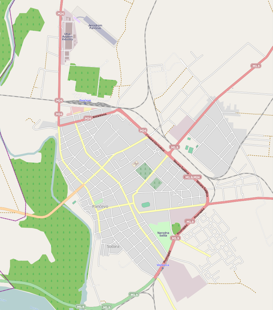
English: Location map of Pančevo |
| Date | |
| Source | http://www.openstreetmap.org/ |
| Author | http://www.openstreetmap.org/browse/changesets?bbox=20.6091%2C44.8427%2C20.6747%2C44.8953 |
Licensing
[edit]
This file is licensed under the Creative Commons Attribution-Share Alike 2.5 Generic license.
- You are free:
- to share – to copy, distribute and transmit the work
- to remix – to adapt the work
- Under the following conditions:
- attribution – You must give appropriate credit, provide a link to the license, and indicate if changes were made. You may do so in any reasonable manner, but not in any way that suggests the licensor endorses you or your use.
- share alike – If you remix, transform, or build upon the material, you must distribute your contributions under the same or compatible license as the original.
File history
Click on a date/time to view the file as it appeared at that time.
| Date/Time | Thumbnail | Dimensions | User | Comment | |
|---|---|---|---|---|---|
| current | 11:37, 29 August 2013 | | 1,183 × 1,341 (555 KB) | Nik994 (talk | contribs) | Reverted to version as of 12:58, 14 April 2012 |
| 01:10, 29 August 2013 |  | 194 × 310 (102 KB) | Nik994 (talk | contribs) | Nova mapa Pančeva. | |
| 12:58, 14 April 2012 |  | 1,183 × 1,341 (555 KB) | BokicaK (talk | contribs) | Druge granice | |
| 12:51, 14 April 2012 |  | 1,185 × 1,340 (524 KB) | BokicaK (talk | contribs) |
You cannot overwrite this file.
File usage on Commons
There are no pages that use this file.
File usage on other wikis
The following other wikis use this file:
- Usage on fr.wikipedia.org
- Usage on sh.wikipedia.org
- Usage on sr.wikipedia.org