File:Mecklenburg-Vorpommern location map G.svg
Jump to navigation
Jump to search

Size of this PNG preview of this SVG file: 800 × 549 pixels. Other resolutions: 320 × 220 pixels | 640 × 439 pixels | 1,024 × 703 pixels | 1,280 × 879 pixels | 2,560 × 1,757 pixels | 1,129 × 775 pixels.
Original file (SVG file, nominally 1,129 × 775 pixels, file size: 485 KB)
Captions
Captions
Add a one-line explanation of what this file represents
| Description |
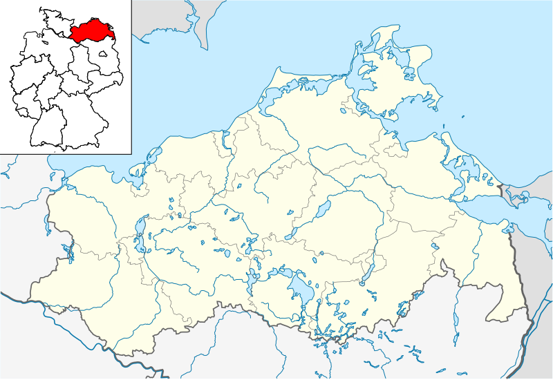
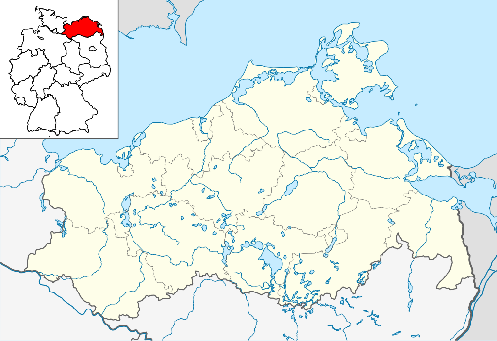
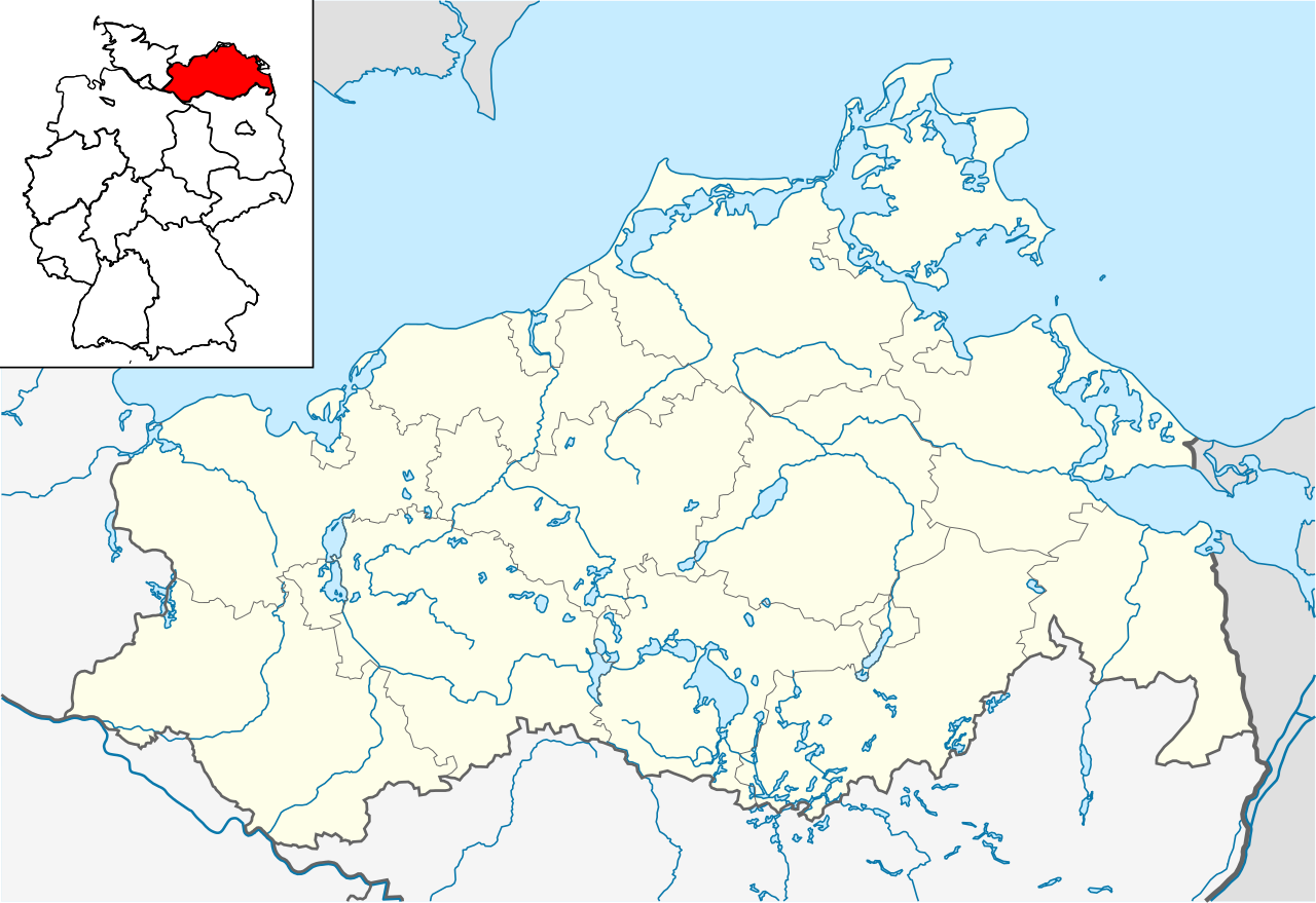
Quadratische Plattkarte, N-S-Streckung 160 %. Geographische Begrenzung der Karte:
English: Location map of Mecklenburg-Vorpommern, showing position of Mecklenburg-Vorpommern within Germany
Equirectangular projection, N/S stretching 160 %. Geographic limits of the map:
|
| Date | |
| Source | own work, based on File:Mecklenburg-Vorpommern location map.svg |
| Author | Hanhil based on work by NordNordWest |
Licensing
[edit]
I, the copyright holder of this work, hereby publish it under the following licenses:

|
Permission is granted to copy, distribute and/or modify this document under the terms of the GNU Free Documentation License, Version 1.2 or any later version published by the Free Software Foundation; with no Invariant Sections, no Front-Cover Texts, and no Back-Cover Texts. A copy of the license is included in the section entitled GNU Free Documentation License. |
This file is licensed under the Creative Commons Attribution-Share Alike 3.0 Unported license.
- You are free:
- to share – to copy, distribute and transmit the work
- to remix – to adapt the work
- Under the following conditions:
- attribution – You must give appropriate credit, provide a link to the license, and indicate if changes were made. You may do so in any reasonable manner, but not in any way that suggests the licensor endorses you or your use.
- share alike – If you remix, transform, or build upon the material, you must distribute your contributions under the same or compatible license as the original.
You may select the license of your choice.
File history
Click on a date/time to view the file as it appeared at that time.
| Date/Time | Thumbnail | Dimensions | User | Comment | |
|---|---|---|---|---|---|
| current | 22:42, 30 May 2009 | | 1,129 × 775 (485 KB) | Michiel1972 (talk | contribs) | frame |
| 08:48, 22 May 2009 |  | 1,129 × 775 (481 KB) | Hanhil (talk | contribs) | {{Information |Description= {{de|Positionskarte von Mecklenburg-Vorpommern, einschl. der Lage innerhalb Deutschlands}} Quadratische Plattkarte, N-S-Streckung 160 %. Geographische Begrenzung der Karte: * N |
You cannot overwrite this file.
File usage on Commons
There are no pages that use this file.
File usage on other wikis
The following other wikis use this file:
- Usage on de.wikivoyage.org
- Usage on fa.wikipedia.org
- Usage on fy.wikipedia.org
- Usage on ka.wikipedia.org
- Usage on ko.wikipedia.org
- Usage on nl.wikipedia.org
- Wismar
- Anklam
- Schwerin
- Rostock (stad)
- Bad Doberan (stad)
- Kröpelin
- Kühlungsborn
- Sanitz
- Satow
- Demmin (stad)
- Teterow
- Boizenburg/Elbe
- Hagenow
- Ludwigslust (stad)
- Lübtheen
- Waren (Müritz)
- Neubrandenburg
- Grimmen
- Parchim (stad)
- Stralsund
- Pasewalk
- Strasburg (Uckermark)
- Ueckermünde
- Greifswald
- Warnemünde
- Peenemünde
- Prora
- Vitt
- Zingst
- Friedland (Mecklenburg)
- Neustrelitz
- Admannshagen-Bargeshagen
View more global usage of this file.