File:Mexico City urban area.png

Original file (2,572 × 2,624 pixels, file size: 9.03 MB, MIME type: image/png)
Captions
Captions
Summary
[edit]
| Description |
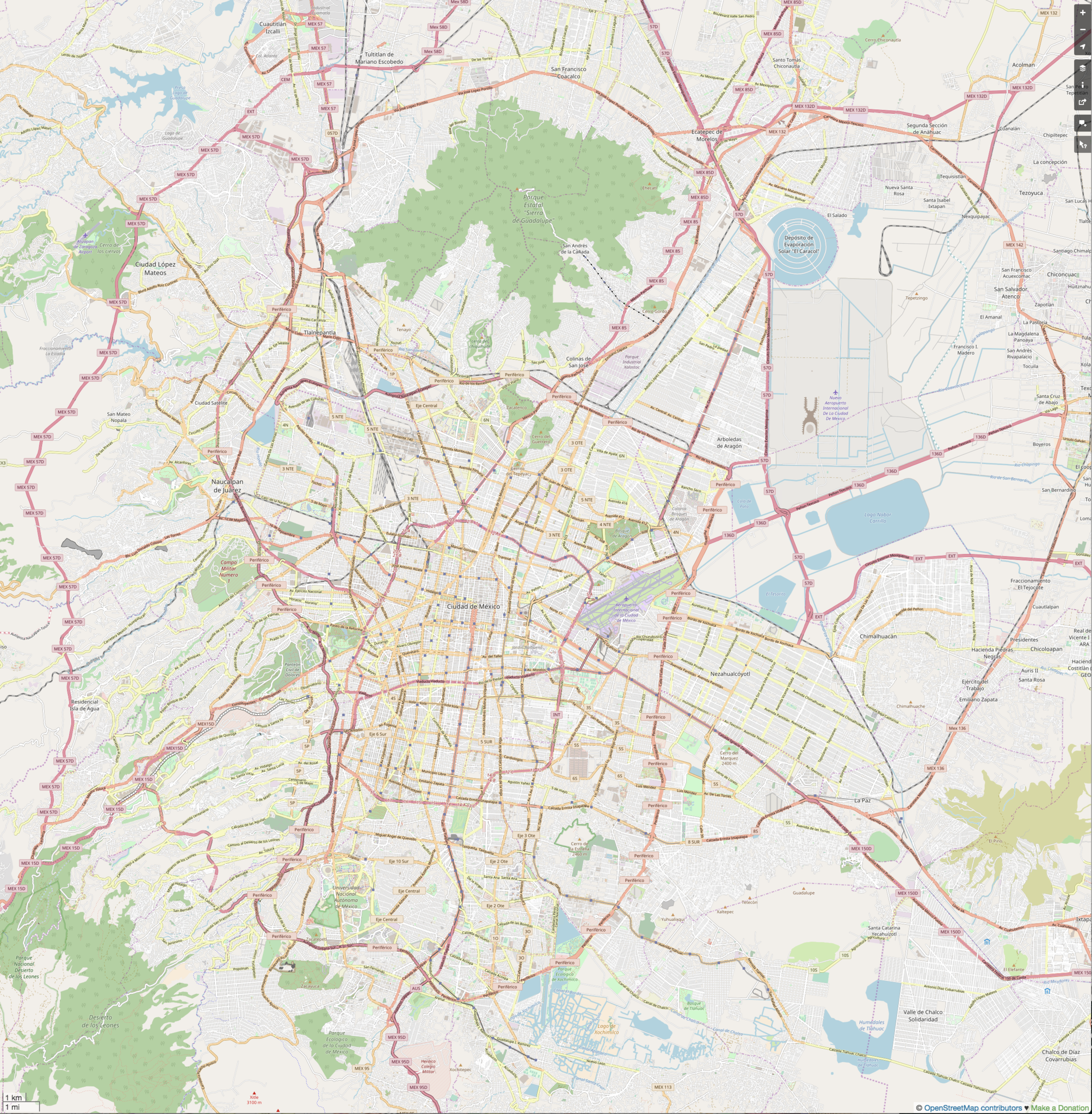
This map was created from OpenStreetMap project data, collected by the community. This map may be incomplete, and may contain errors. Don't rely solely on it for navigation.
|
||||||||||||
| Date | (see file history) | ||||||||||||
| Source | openstreetmap.org | ||||||||||||
| Author | OpenStreetMap contributors | ||||||||||||
| Permission (Reusing this file) |
All OpenStreetMap data and maps are Creative Commons "CC-BY-SA 2.0" licensed This file is licensed under the Creative Commons Attribution-Share Alike 2.0 Generic license.
|
||||||||||||
Mexico City Centro Polanco.jpg == Usage == * This template can be used without any parameter, but it also supports setting the source=, the date=, the authors=, location= and the other_versions=. If source is not used the parameter name has to be used. * The parameters top=, bottom=, left=, and right= can be used to store the border coordinates of the map. This information can be useful for various mapping templates that are used in various Wikimedia projects. Mexico City Centro urban area.jpgCategory:Internationalization templates using LangSwitch
Licensing
[edit]
- You are free:
- to share – to copy, distribute and transmit the work
- to remix – to adapt the work
- Under the following conditions:
- attribution – You must give appropriate credit, provide a link to the license, and indicate if changes were made. You may do so in any reasonable manner, but not in any way that suggests the licensor endorses you or your use.
- share alike – If you remix, transform, or build upon the material, you must distribute your contributions under the same or compatible license as the original.
File history
Click on a date/time to view the file as it appeared at that time.
| Date/Time | Thumbnail | Dimensions | User | Comment | |
|---|---|---|---|---|---|
| current | 21:13, 9 July 2018 | | 2,572 × 2,624 (9.03 MB) | Keizers (talk | contribs) | conforms more exactly to coordinates |
| 21:04, 9 July 2018 |  | 2,772 × 2,706 (11.68 MB) | Keizers (talk | contribs) | User created page with UploadWizard |
You cannot overwrite this file.
File usage on Commons
There are no pages that use this file.
File usage on other wikis
The following other wikis use this file:
- Usage on en.wikipedia.org
- Valley of Mexico
- Sears Mexico
- Desierto de los Leones National Park
- Peñón Viejo metro station
- Acatitla metro station
- Santa Marta metro station
- Los Reyes metro station
- Múzquiz metro station
- Ecatepec metro station
- Olímpica metro station
- Plaza Aragón metro station
- Ciudad Azteca metro station
- Tláhuac metro station
- Plaza Satélite
- Paseo Acoxpa
- Mexico City Texcoco Airport
- La Paz metro station (State of Mexico)
- Lomas Estrella metro station
- Calle 11 metro station
- Periférico Oriente metro station
- Tezonco metro station
- Olivos metro station
- Nopalera metro station
- Zapotitlán metro station
- Tlaltenco metro station
- Artz Pedregal
- Module:Location map/data/Mexico City urban area
- Module:Location map/data/Mexico City urban area/doc
- Lechería railway station
- San Rafael railway station
- Tlalnepantla railway station
- San Francisco de Asís Parish (Coacalco de Berriozábal)
- Monumento al perro callejero
- Tultitlán railway station
- User:SomeGuyWhoRandomlyEdits/List of conflicts in Mexico
- Cosmopol
- Malacates
- Usage on fr.wikipedia.org
- Arènes de Mexico
- Olímpica (métro de Mexico)
- Plaza Aragón (métro de Mexico)
- Ciudad Azteca (métro de Mexico)
- Lomas Estrella (métro de Mexico)
- Calle 11 (métro de Mexico)
- Periférico Oriente (métro de Mexico)
- Tezonco (métro de Mexico)
- Olivos (métro de Mexico)
- Nopalera (métro de Mexico)
- Zapotitlán (métro de Mexico)
- Tlaltenco (métro de Mexico)
- Tláhuac (métro de Mexico)
View more global usage of this file.