File:Mexico Sinaloa location map (urban areas).svg
Jump to navigation
Jump to search

Size of this PNG preview of this SVG file: 484 × 599 pixels. Other resolutions: 194 × 240 pixels | 388 × 480 pixels | 621 × 768 pixels | 827 × 1,024 pixels | 1,655 × 2,048 pixels | 1,937 × 2,397 pixels.
Original file (SVG file, nominally 1,937 × 2,397 pixels, file size: 496 KB)
Captions
Captions
Add a one-line explanation of what this file represents
W3C-validity not checked.
Summary
[edit].svg&action=edit§ion=1)
| Description |
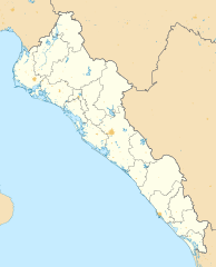
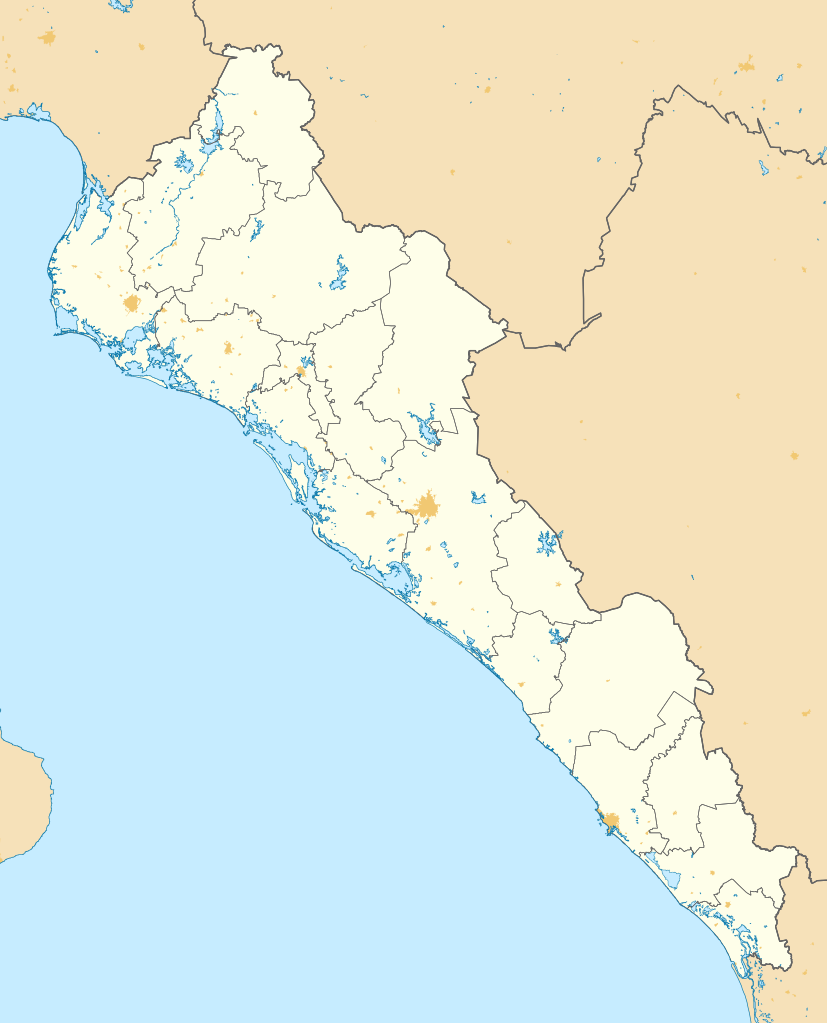
English: Location map of Sinaloa with the urban areas.
EPSG:3857 projection, Geographic limits of the map:
|
| Date | |
| Source |
|
| Author | Addicted04 |
Licensing
[edit].svg&action=edit§ion=2)
I, the copyright holder of this work, hereby publish it under the following license:
This file is licensed under the Creative Commons Attribution-Share Alike 4.0 International license.
- You are free:
- to share – to copy, distribute and transmit the work
- to remix – to adapt the work
- Under the following conditions:
- attribution – You must give appropriate credit, provide a link to the license, and indicate if changes were made. You may do so in any reasonable manner, but not in any way that suggests the licensor endorses you or your use.
- share alike – If you remix, transform, or build upon the material, you must distribute your contributions under the same or compatible license as the original.
File history
Click on a date/time to view the file as it appeared at that time.
| Date/Time | Thumbnail | Dimensions | User | Comment | |
|---|---|---|---|---|---|
| current | 22:32, 1 June 2015 | | 1,937 × 2,397 (496 KB) | Addicted04 (talk | contribs) | Valid SVG |
| 13:37, 31 May 2015 |  | 1,937 × 2,397 (496 KB) | Addicted04 (talk | contribs) | Intentando optimizar | |
| 16:59, 30 May 2015 |  | 512 × 634 (647 KB) | Addicted04 (talk | contribs) | User created page with UploadWizard |
You cannot overwrite this file.
File usage on Commons
There are no pages that use this file.
File usage on other wikis
The following other wikis use this file:
- Usage on ce.wikipedia.org
- Usage on en.wikipedia.org
- Usage on es.wikipedia.org
- Culiacán
- Los Mochis
- Mazatlán
- Guamúchil (Sinaloa)
- Navolato
- El Walamo
- Guasave
- Pánuco (Sinaloa)
- Escuinapa de Hidalgo
- La Cruz (Sinaloa)
- Ceuta (Sinaloa)
- Sinaloa de Leyva
- Villa Unión (Sinaloa)
- Concordia (Sinaloa)
- San Ignacio (Sinaloa)
- Topolobampo
- El Fuerte (Sinaloa)
- Cosalá
- Anexo:Patrimonio de la Humanidad en México
- Badiraguato
- Aeropuerto Internacional Federal de Culiacán
- Choix
- Angostura (Sinaloa)
- Jahuara
- Culiacancito
- Eldorado (Sinaloa)
- Aeropuerto Internacional General Rafael Buelna
- Aeropuerto Internacional Federal del Valle del Fuerte
- Estación Naranjo
- La Brecha (Sinaloa)
- Altata
- Ixpalino
- Ahome
- Aeropuerto Nacional Campo Cuatro Milpas
- La Labor
- Acatitán
- Potrero de los Sánchez
- Costa Rica (Sinaloa)
- Corerepe (El Gallo)
- Imala (Sinaloa)
- Quilá (Sinaloa)
- Juan José Ríos (Sinaloa)
- El Rosario (Sinaloa)
- La Tuna (Sinaloa)
- Higuera de Zaragoza
- El Guayabo
- San Miguel Zapotitlán
View more global usage of this file.
.svg)
.svg&oldid=791217473)