File:Mexico Tabasco location map.svg
Jump to navigation
Jump to search

Size of this PNG preview of this SVG file: 800 × 477 pixels. Other resolutions: 320 × 191 pixels | 640 × 382 pixels | 1,024 × 610 pixels | 1,280 × 763 pixels | 2,560 × 1,526 pixels | 1,050 × 626 pixels.
Original file (SVG file, nominally 1,050 × 626 pixels, file size: 248 KB)
Captions
Captions
Add a one-line explanation of what this file represents
W3C-validity not checked.
| Description |
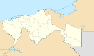
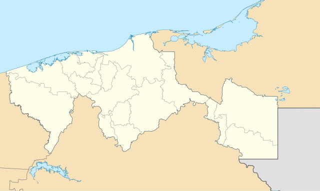
English: Location Map of Tabasco
Equirectangular projection, Geographic limits of the map:
Deutsch: Positionskarte von Tabasco
Quadratische Plattkarte, Geographische Begrenzung der Karte:
|
| Date | |
| Source |
OpenStreetMap.org This W3C-unspecified vector image was created with Inkscape . |
| Author | Spischot |
Licensing
[edit]
I, the copyright holder of this work, hereby publish it under the following licenses:
| This file is licensed under the Creative Commons Attribution-Share Alike 3.0 Unported license. | ||
| ||
| This licensing tag was added to this file as part of the GFDL licensing update. |

|
Permission is granted to copy, distribute and/or modify this document under the terms of the GNU Free Documentation License, Version 1.2 or any later version published by the Free Software Foundation; with no Invariant Sections, no Front-Cover Texts, and no Back-Cover Texts. A copy of the license is included in the section entitled GNU Free Documentation License. |
You may select the license of your choice.
File history
Click on a date/time to view the file as it appeared at that time.
| Date/Time | Thumbnail | Dimensions | User | Comment | |
|---|---|---|---|---|---|
| current | 20:57, 11 January 2014 | | 1,050 × 626 (248 KB) | Addicted04 (talk | contribs) | Reverted to version as of 18:57, 20 November 2011 |
| 21:00, 27 April 2012 |  | 1,050 × 626 (673 KB) | Addicted04 (talk | contribs) | bordes | |
| 20:39, 27 April 2012 |  | 1,050 × 626 (673 KB) | Addicted04 (talk | contribs) | Corrección en la hidrografía | |
| 01:31, 27 April 2012 |  | 1,050 × 626 (690 KB) | Addicted04 (talk | contribs) | hidrografía | |
| 18:57, 20 November 2011 |  | 1,050 × 626 (248 KB) | Addicted04 (talk | contribs) | borders | |
| 07:28, 1 August 2011 |  | 1,050 × 626 (248 KB) | Battroid (talk | contribs) | {{ValidSVG}} {{Information |Description={{en|Location Map of Tabasco Equirectangular projection, Geographic limits of the map: * N: 19.00° N * S: 16.90° N * W: 94.20° W * E: 90.50° W}} {{de|1=Positionskarte von [[:de:Tabasco (Mexiko)|T | |
| 15:44, 11 March 2010 |  | 1,050 × 626 (248 KB) | Addicted04 (talk | contribs) | lines | |
| 00:23, 9 November 2009 |  | 1,050 × 626 (249 KB) | Addicted04 (talk | contribs) | Costs | |
| 21:01, 8 November 2009 |  | 1,050 × 626 (249 KB) | Addicted04 (talk | contribs) | New map (borders and costs) | |
| 21:50, 26 October 2009 |  | 1,150 × 900 (444 KB) | Spischot (talk | contribs) | Removed border |
You cannot overwrite this file.
File usage on Commons
The following 9 pages use this file:
File usage on other wikis
The following other wikis use this file:
- Usage on ar.wikipedia.org
- Usage on ba.wikipedia.org
- Usage on bg.wikipedia.org
- Usage on ceb.wikipedia.org
- Usage on ce.wikipedia.org
- Usage on cs.wikipedia.org
- Usage on de.wikipedia.org
- Comalcalco
- Villahermosa
- Benutzer:Spischot/Bilder
- Wikipedia:Kartenwerkstatt/Positionskarten/Nordamerika
- Estadio Centenario 27 de Febrero
- Vorlage:Positionskarte Mexiko Tabasco
- Tapijulapa
- Oxolotán
- Tenosique de Pino Suárez
- Balancán de Domínguez
- Heroica Cárdenas
- Cueva de Villa Luz
- Benutzer:Elfabso/Baustelle2
- Jonuta
- Emiliano Zapata (Tabasco)
- Usage on en.wikipedia.org
- Villahermosa
- Villahermosa International Airport
- Paraíso, Tabasco
- Module:Location map/data/Mexico Tabasco/doc
- Jalpa de Méndez
- Tepetitán, Tabasco
- 2018–19 Liga TDP season
- Module:Location map/data/Mexico Tabasco
- 2019–20 Liga TDP season
- 2020–21 Liga TDP season
- 2017–18 Tercera División de México season
- 2016–17 Tercera División de México season
- 2015–16 Tercera División de México season
- 2014–15 Tercera División de México season
- 2013–14 Tercera División de México season
- 2012–13 Tercera División de México season
- 2011–12 Tercera División de México season
- 2010–11 Tercera División de México season
- 2021–22 Liga TDP season
- Usage on eo.wikipedia.org
- Usage on es.wikipedia.org
View more global usage of this file.