File:Mińsk Mazowiecki (gmina wiejska) location map.png
Jump to navigation
Jump to search
Size of this preview: 673 × 600 pixels. Other resolutions: 269 × 240 pixels | 539 × 480 pixels | 855 × 762 pixels.
Original file (855 × 762 pixels, file size: 195 KB, MIME type: image/png)
Captions
Captions
Add a one-line explanation of what this file represents
| Description |
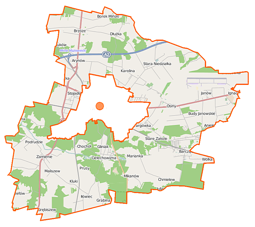
Polski: Mapa gminy Mińsk Mazowiecki, Polska
English: Map of Gmina Mińsk Mazowiecki, Poland |
|||||||||
| Date | ||||||||||
| Source | You may find a page on the OpenStreetMap wiki page for Mińsk Mazowiecki (gmina wiejska) | |||||||||
| Creator |
OpenStreetMap contributors OpenStreetMap contributors |
|||||||||
| Permission (Reusing this file) |
OpenStreetMap data is available under the Open Database License (details). Map tiles are licensed under the Creative Commons Attribution-ShareAlike 2.0 license (CC-BY-SA 2.0).
This file is licensed under the Creative Commons Attribution-Share Alike 2.0 Generic license.
|
|||||||||
| Geotemporal data | ||||||||||
| Bounding box |
|
|||||||||
| Georeferencing | If inappropriate please set warp_status = skip to hide. | |||||||||
File history
Click on a date/time to view the file as it appeared at that time.
| Date/Time | Thumbnail | Dimensions | User | Comment | |
|---|---|---|---|---|---|
| current | 10:56, 12 September 2014 | | 855 × 762 (195 KB) | VanWiel (talk | contribs) | |
| 06:30, 6 August 2014 |  | 855 × 762 (192 KB) | VanWiel (talk | contribs) | {{OpenStreetMap | name = Mińsk Mazowiecki (gmina wiejska) | location = Mińsk Mazowiecki (gmina wiejska) | description = {{pl|Mapa gminy Mińsk Mazowiecki, Polska}} {{en|Map of Gmina Mińsk Mazowiecki, Poland}} | top... |
You cannot overwrite this file.
File usage on Commons
There are no pages that use this file.
File usage on other wikis
The following other wikis use this file:
- Usage on de.wikipedia.org
- Usage on fr.wikipedia.org
- Usage on nl.wikipedia.org
- Usage on pl.wikipedia.org
- Arynów
- Stojadła
- Huta Mińska
- Marianka (gmina Mińsk Mazowiecki)
- Królewiec (województwo mazowieckie)
- Barcząca
- Borek Miński
- Brzóze
- Budy Barcząckie
- Budy Janowskie
- Dłużka
- Dziękowizna
- Gamratka
- Gliniak
- Grębiszew
- Karolina-Kolonia
- Kolonia Janów
- Maliszew
- Mikanów
- Niedziałka Druga
- Nowe Osiny
- Podrudzie
- Stara Niedziałka
- Stare Zakole
- Wólka Iłówiecka
- Wólka Mińska
- Zakole-Wiktorowo
- Anielew (województwo mazowieckie)
- Chochół (województwo mazowieckie)
- Iłówiec (województwo mazowieckie)
- Targówka (województwo mazowieckie)
- Bagno Pogorzel
- Chmielew (powiat miński)
- Ignaców (powiat miński)
- Janów (powiat miński)
- Józefów (powiat miński)
- Karolina (powiat miński)
- Osiny (powiat miński)
- Prusy (powiat miński)
- Tartak (powiat miński)
- Zamienie (powiat miński)
- Żuków (powiat miński)
- Grabina (gmina Mińsk Mazowiecki)
- Kluki (gmina Mińsk Mazowiecki)
- Mińsk Mazowiecki (gmina wiejska)
- Cielechowizna
- Barcząca (przystanek kolejowy)
View more global usage of this file.
_location_map.png)
_location_map.png&oldid=519982663)