File:Mn flag dornogovi aimag 2011.svg

Fichier d’origine (Fichier SVG, nominalement de 2 000 × 1 000 pixels, taille : 16 kio)
Légendes
Légendes
Description[modifier]
| Description |
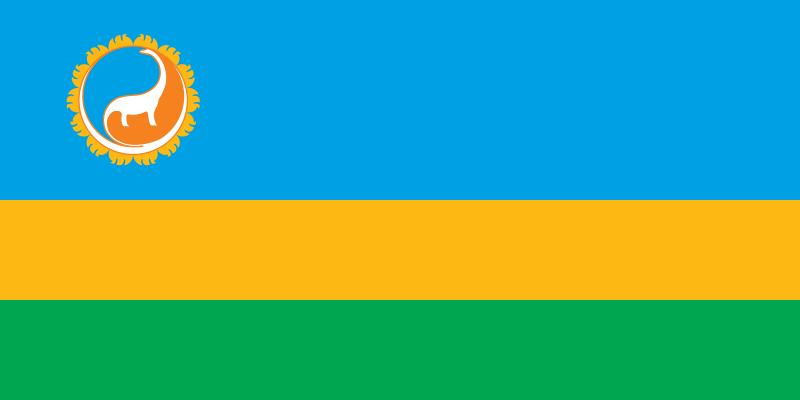
English: Flag of Dornogovi Aimag in Mongolia. Introduced by Resolution No. 01 of 2011 by the Aimag Khural. |
||||
| Date | |||||
| Source |
Travail personnel; Faithful implementation of blason. Original Information for Flag: http://dornogovi.khural.mn/m/ujky Original Information for COA: http://dornogovi.khural.mn/m/ubky |
||||
| Auteur | Latebird | ||||
| Autorisation (Réutilisation de ce fichier) |
|
||||
| Autres versions |
.png)  |

Historique du fichier
Cliquer sur une date et heure pour voir le fichier tel qu'il était à ce moment-là.
| Date et heure | Vignette | Dimensions | Utilisateur | Commentaire | |
|---|---|---|---|---|---|
| actuel | 20 mai 2016 à 18:49 | | 2 000 × 1 000 (16 kio) | Latebird (d | contributions) | more symmetric camels |
| 20 mai 2016 à 13:57 |  | 2 000 × 1 000 (16 kio) | Latebird (d | contributions) | User created page with UploadWizard |
Vous ne pouvez pas remplacer ce fichier.
Utilisations locales du fichier
Les 9 pages suivantes utilisent ce fichier :
Utilisations du fichier sur d’autres wikis
Les autres wikis suivants utilisent ce fichier :
- Utilisation sur ar.wikipedia.org
- Utilisation sur azb.wikipedia.org
- Utilisation sur az.wikipedia.org
- Utilisation sur be-tarask.wikipedia.org
- Utilisation sur bg.wikipedia.org
- Utilisation sur ca.wikipedia.org
- Utilisation sur ceb.wikipedia.org
- Utilisation sur cs.wikipedia.org
- Utilisation sur de.wikipedia.org
- Utilisation sur en.wikipedia.org
- Flag of Mongolia
- Provinces of Mongolia
- Dornogovi Province
- List of first-level administrative divisions by area
- Zamyn-Üüd
- List of political and geographic subdivisions by total area from 100,000 to 1,000,000 square kilometers
- List of political and geographic subdivisions by total area from 50,000 to 200,000 square kilometers
- List of political and geographic subdivisions by total area (all)
- List of political and geographic subdivisions by total area from 100,000 to 200,000 square kilometers
- Google Street View in Asia
- Template:Country data Dornogovi
- User:GiveMeCovfefe/sandbox
- List of Mongolian provinces by GDP
- List of Mongolian flags
- User:Miracusaurs/List of non-avian dinosaur species
- Utilisation sur es.wikipedia.org
- Utilisation sur et.wikipedia.org
- Utilisation sur eu.wikipedia.org
- Utilisation sur fa.wikipedia.org
- Utilisation sur fi.wikipedia.org
- Utilisation sur fr.wikipedia.org
Voir davantage sur l’utilisation globale de ce fichier.