File:Moselle department relief location map.jpg
Jump to navigation
Jump to search
Size of this preview: 759 × 600 pixels. Other resolutions: 304 × 240 pixels | 608 × 480 pixels | 972 × 768 pixels | 1,280 × 1,011 pixels | 1,748 × 1,381 pixels.
Original file (1,748 × 1,381 pixels, file size: 169 KB, MIME type: image/jpeg)
Captions
Captions
Add a one-line explanation of what this file represents
Summary[edit]
| Camera location | | View this and other nearby images on: OpenStreetMap |
|---|
| Description |
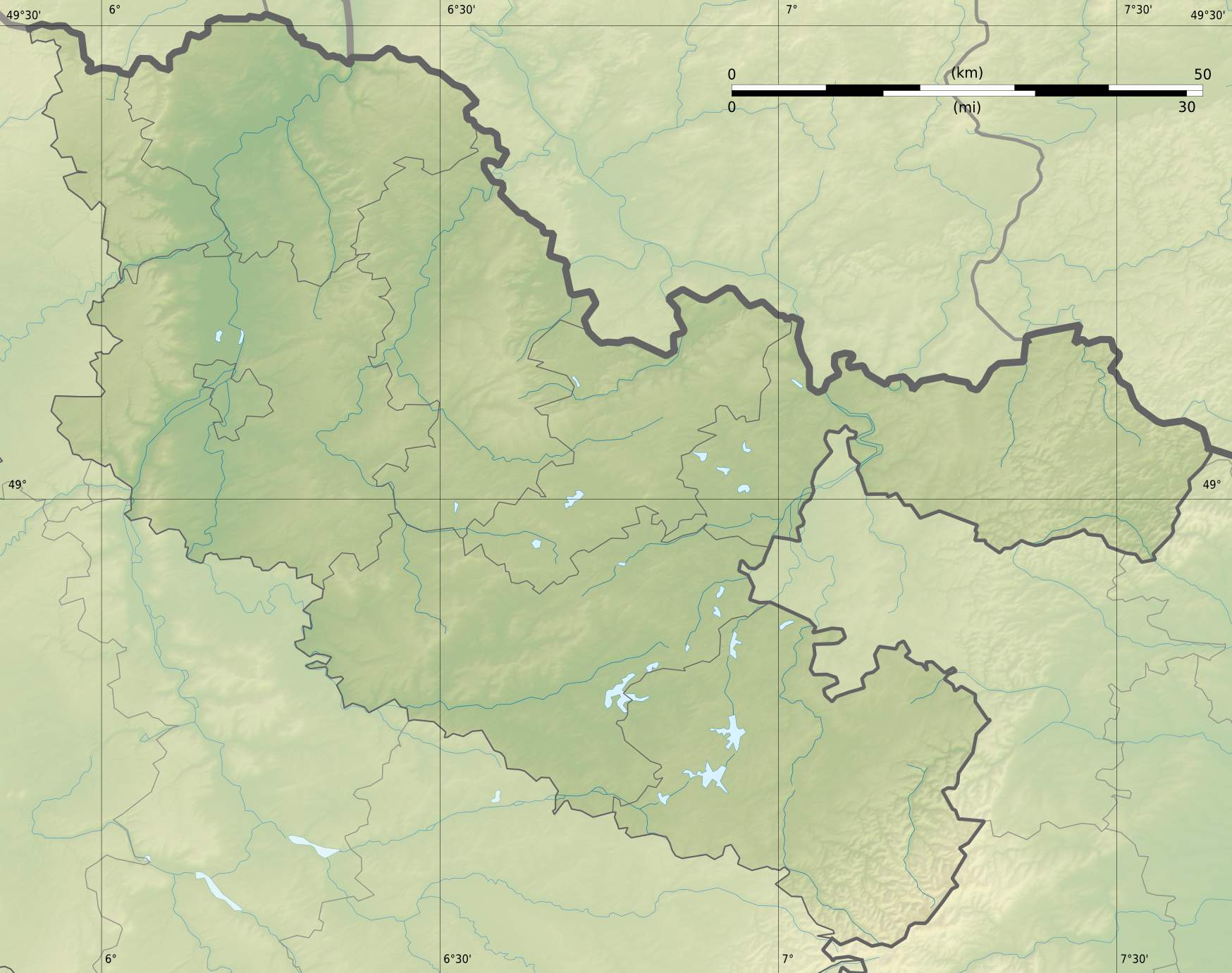
Français : Carte physique vierge du département de la Moselle, France, destinée à la géolocalisation.
Scales:
Equirectangular projection, WGS84 datum, stretching vertical +30%
|
| Date | |
| Source |
Own work |
| Author | User:Bourrichon - fr:Bourrichon) |
| Other versions |
|

Licensing[edit]
I, the copyright holder of this work, hereby publish it under the following license:
This file is licensed under the Creative Commons Attribution-Share Alike 3.0 Unported license.
- You are free:
- to share – to copy, distribute and transmit the work
- to remix – to adapt the work
- Under the following conditions:
- attribution – You must give appropriate credit, provide a link to the license, and indicate if changes were made. You may do so in any reasonable manner, but not in any way that suggests the licensor endorses you or your use.
- share alike – If you remix, transform, or build upon the material, you must distribute your contributions under the same or compatible license as the original.
Licensing[edit]
I, the copyright holder of this work, hereby publish it under the following licenses:
This file is licensed under the Creative Commons Attribution-Share Alike 3.0 Unported license.
- You are free:
- to share – to copy, distribute and transmit the work
- to remix – to adapt the work
- Under the following conditions:
- attribution – You must give appropriate credit, provide a link to the license, and indicate if changes were made. You may do so in any reasonable manner, but not in any way that suggests the licensor endorses you or your use.
- share alike – If you remix, transform, or build upon the material, you must distribute your contributions under the same or compatible license as the original.

|
Permission is granted to copy, distribute and/or modify this document under the terms of the GNU Free Documentation License, Version 1.2 or any later version published by the Free Software Foundation; with no Invariant Sections, no Front-Cover Texts, and no Back-Cover Texts. A copy of the license is included in the section entitled GNU Free Documentation License. |
You may select the license of your choice.
File history
Click on a date/time to view the file as it appeared at that time.
| Date/Time | Thumbnail | Dimensions | User | Comment | |
|---|---|---|---|---|---|
| current | 22:37, 24 November 2012 | | 1,748 × 1,381 (169 KB) | Bourrichon (talk | contribs) | |
| 15:31, 11 November 2012 |  | 2,893 × 2,129 (437 KB) | Bourrichon (talk | contribs) | == {{int:filedesc}} == {{Location|49|00|00|N|06|30|00|E|scale:300000}} <br/> {{Information |Description={{fr|Carte physique vierge du département de la Moselle, France, desti... |
You cannot overwrite this file.
File usage on Commons
The following 3 pages use this file:
File usage on other wikis
The following other wikis use this file:
- Usage on als.wikipedia.org
- Usage on de.wikipedia.org
- Burg Malbrouck
- Dagsburg (Lothringen)
- Burg Falkenstein (Philippsbourg)
- Rothenburg (Lothringen)
- Étang du Stock
- Burg Turquestein
- Lützelburg (Lutzelbourg)
- Wikipedia:Kartenwerkstatt/Positionskarten/Europa
- Linderweiher
- Lac de la Mutche
- Burg Helfenstein (Lothringen)
- Étang de Gondrexange
- Burg Groß-Arnsberg
- Vorlage:Positionskarte Frankreich Moselle
- Erzbergwerk Aumetz
- Étang de Mittersheim
- Wiesengarten am Schloss La Grange
- Garten der Aromen
- Usage on eo.wikipedia.org
- Usage on fr.wikipedia.org
- Metz
- Thionville
- Forbach
- Juvelize
- Sarreguemines
- Saint-Avold
- Sarrebourg
- Creutzwald
- Hagondange
- Boulay-Moselle
- Château-Salins
- Baudrecourt (Moselle)
- Algrange
- Condé-Northen
- Bataille de Saint-Privat
- Buhl-Lorraine
- Lommerange
- Bettviller
- Maizières-lès-Metz
- Guermange
- Bousse (Moselle)
- Bertrange (Moselle)
- Rurange-lès-Thionville
- Plesnois
- Moyeuvre-Grande
- Marange-Silvange
- Schœneck (Moselle)
- Gorze
- Moyeuvre-Petite
View more global usage of this file.