File:Motorway D1-CZ map.svg
跳至導覽
跳至搜尋

此 SVG 檔案的 PNG 預覽的大小:780 × 450 像素。 其他解析度:320 × 185 像素 | 640 × 369 像素 | 1,024 × 591 像素 | 1,280 × 738 像素 | 2,560 × 1,477 像素。
原始檔案 (SVG 檔案,表面大小:780 × 450 像素,檔案大小:48 KB)
說明
說明
添加單行說明來描述出檔案所代表的內容
摘要
[編輯]
| 描述 |
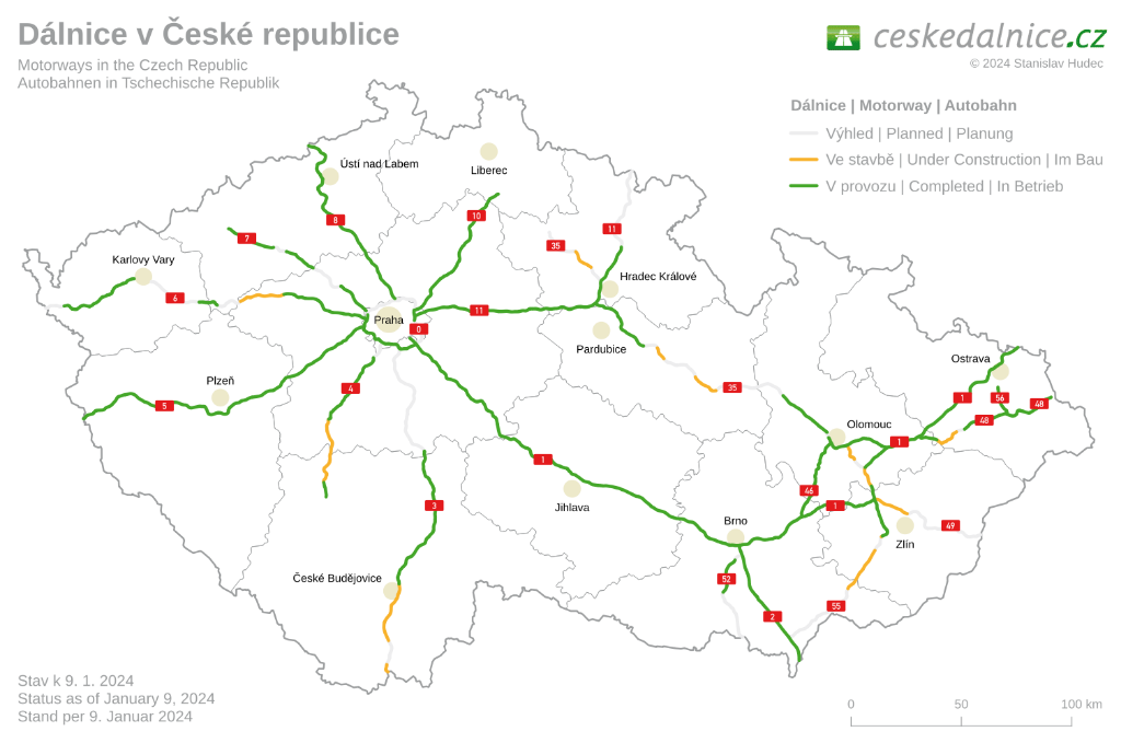
Čeština: Dálnice D1:
existující úsek
úsek ve výstavbě
plánovaný úsek
Polski: Przebieg autostrady D1:
odcinki istniejące
odcinki w budowie
odcinki projektowane
English: D1 motorway:
existing sections
sections under construction
planned sections
Deutsch: Autobahn D1:
Strecken unter Verkehr
Strecken in Bau
geplante Strecken |
| 日期 | |
| 來源 |
自己的作品
|
| 作者 | Daniel749 |
授權條款
[編輯]
我,本作品的著作權持有者,決定用以下授權條款發佈本作品:
此檔案採用創用CC 姓名標示 3.0 未在地化版本授權條款。
- 您可以自由:
- 分享 – 複製、發佈和傳播本作品
- 重新修改 – 創作演繹作品
- 惟需遵照下列條件:
- 姓名標示 – 您必須指名出正確的製作者,和提供授權條款的連結,以及表示是否有對內容上做出變更。您可以用任何合理的方式來行動,但不得以任何方式表明授權條款是對您許可或是由您所使用。
檔案歷史
點選日期/時間以檢視該時間的檔案版本。
| 日期/時間 | 縮圖 | 尺寸 | 用戶 | 備註 | |
|---|---|---|---|---|---|
| 目前 | 2023年7月19日 (三) 14:27 | | 780 × 450(48 KB) | Bilykralik16(對話 | 貢獻) | colour change of sections under construction to be better recognizable in smaller sizes |
| 2022年12月20日 (二) 16:28 |  | 780 × 450(48 KB) | Bilykralik16(對話 | 貢獻) | update | |
| 2022年6月13日 (一) 07:31 |  | 780 × 450(48 KB) | Lukša(對話 | 貢獻) | removed D43 (now I/73) | |
| 2021年3月20日 (六) 04:54 |  | 780 × 450(41 KB) | HLock(對話 | 貢獻) | SVG cleanup and refactoring, neigbour flags added | |
| 2019年12月13日 (五) 18:33 |  | 776 × 446(157 KB) | Harold(對話 | 貢獻) | update, Přerov - Lipník was opened | |
| 2017年10月14日 (六) 09:32 |  | 776 × 446(157 KB) | Daniel749(對話 | 貢獻) | small correction | |
| 2017年10月14日 (六) 09:31 |  | 776 × 446(157 KB) | Daniel749(對話 | 貢獻) | update | |
| 2016年1月26日 (二) 19:27 |  | 728 × 418(149 KB) | Daniel749(對話 | 貢獻) | ||
| 2016年1月26日 (二) 18:15 |  | 728 × 418(149 KB) | Daniel749(對話 | 貢獻) | {{Information |Description={{pl|Przebieg autostrady D0:}} {{Legend||line=7px solid #009100|odcinki istniejące}} {{Legend||line=7px solid red|odcinki w budowie}} {{Legend||line=7px dotted #444444|odcinki projektowane}} {... |
無法覆蓋此檔案。
檔案用途
下列20個頁面有用到此檔案:
- User:Chumwa/OgreBot/Potential transport maps/2016 January 21-31
- User:Chumwa/OgreBot/Potential transport maps/2017 October 11-20
- User:Chumwa/OgreBot/Potential transport maps/2019 December 11-20
- User:Chumwa/OgreBot/Transport Maps/2016 January 21-31
- User:Chumwa/OgreBot/Transport Maps/2017 October 11-20
- User:Chumwa/OgreBot/Transport Maps/2019 December 11-20
- User:Chumwa/OgreBot/Transport Maps/2021 March 11-20
- User:Chumwa/OgreBot/Transport Maps/2022 December 11-20
- User:Chumwa/OgreBot/Transport Maps/2022 June 11-20
- User:Chumwa/OgreBot/Transport Maps/2023 July 11-20
- User:Chumwa/OgreBot/Travel and communication maps/2016 January 21-31
- User:Chumwa/OgreBot/Travel and communication maps/2017 October 11-20
- User:Chumwa/OgreBot/Travel and communication maps/2019 December 11-20
- User:Chumwa/OgreBot/Travel and communication maps/2021 March 11-20
- User:Chumwa/OgreBot/Travel and communication maps/2022 December 11-20
- User:Chumwa/OgreBot/Travel and communication maps/2022 June 11-20
- User:Chumwa/OgreBot/Travel and communication maps/2023 July 11-20
- File:MotorwayD1-CZmap.svg (檔案重新導向)
- Category:Highway D1 (Czech Republic)
- Category:History of Highway D1 (Czech Republic)
全域檔案使用狀況
以下其他 wiki 使用了這個檔案:
- bg.wikipedia.org 的使用狀況
- cs.wikipedia.org 的使用狀況
- de.wikipedia.org 的使用狀況
- de.wikivoyage.org 的使用狀況
- en.wikipedia.org 的使用狀況
- lmo.wikipedia.org 的使用狀況
- nl.wikipedia.org 的使用狀況
- pl.wikipedia.org 的使用狀況
- rue.wikipedia.org 的使用狀況
- ru.wikipedia.org 的使用狀況
- sk.wikipedia.org 的使用狀況
- uk.wikipedia.org 的使用狀況
- www.wikidata.org 的使用狀況
- zh.wikipedia.org 的使用狀況