File:Motorway M29 (Ukraine) near Rokytne (Kharkiv oblast).jpg
Jump to navigation
Jump to search

Size of this preview: 800 × 533 pixels. Other resolutions: 320 × 213 pixels | 640 × 427 pixels | 1,024 × 683 pixels | 1,280 × 853 pixels | 2,333 × 1,555 pixels.
Original file (2,333 × 1,555 pixels, file size: 1.15 MB, MIME type: image/jpeg)
Captions
Captions
Add a one-line explanation of what this file represents
Summary[edit]
_near_Rokytne_(Kharkiv_oblast).jpg&action=edit§ion=1)
| Description |
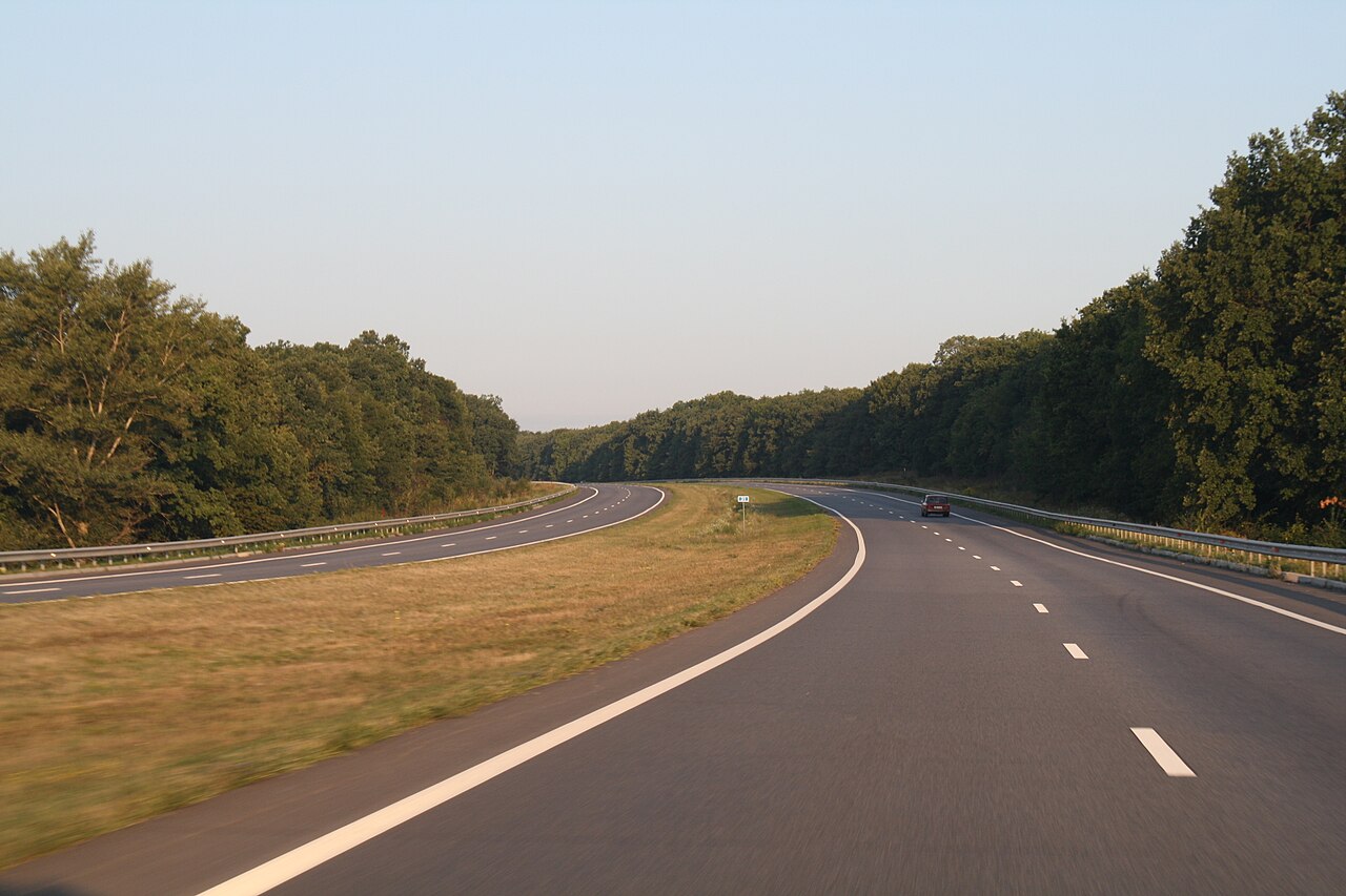
Українська: Автошлях E105 (М29), поблизу Рокитного |
| Date | |
| Source | https://web.archive.org/web/20161013234852/http://www.panoramio.com/photo/26305916 |
| Author | Tarosys |
| Camera location | | View this and other nearby images on: OpenStreetMap |
|---|
_near_Rokytne_(Kharkiv_oblast).jpg¶ms=049.780931_N_0035.905209_E_globe:Earth_type:camera__&language=en)
Licensing[edit]
_near_Rokytne_(Kharkiv_oblast).jpg&action=edit§ion=2)
This file is licensed under the Creative Commons Attribution 3.0 Unported license.
- You are free:
- to share – to copy, distribute and transmit the work
- to remix – to adapt the work
- Under the following conditions:
- attribution – You must give appropriate credit, provide a link to the license, and indicate if changes were made. You may do so in any reasonable manner, but not in any way that suggests the licensor endorses you or your use.
| This image, which was originally posted to Panoramio, was reviewed on 20 October 2016 by the administrator or trusted user Ww2censor, who confirmed that it was available on Panoramio under the above license on that date. |
File history
Click on a date/time to view the file as it appeared at that time.
| Date/Time | Thumbnail | Dimensions | User | Comment | |
|---|---|---|---|---|---|
| current | 10:59, 10 October 2016 | | 2,333 × 1,555 (1.15 MB) | ValeriySh (talk | contribs) | User created page with UploadWizard |
You cannot overwrite this file.
File usage on Commons
The following page uses this file:
- File:26305916 T105 (М29).jpg (file redirect)
.jpg&redirect=no)
File usage on other wikis
The following other wikis use this file:
- Usage on de.wikipedia.org
- Usage on fr.wikipedia.org
- Usage on uk.wikipedia.org
_near_Rokytne_(Kharkiv_oblast).jpg&oldid=817628520)