File:Mowbray OSM map.svg
Jump to navigation
Jump to search

Size of this PNG preview of this SVG file: 800 × 483 pixels. Other resolutions: 320 × 193 pixels | 640 × 386 pixels | 1,024 × 618 pixels | 1,280 × 772 pixels | 2,560 × 1,545 pixels | 1,291 × 779 pixels.
Original file (SVG file, nominally 1,291 × 779 pixels, file size: 4.14 MB)
Captions
Captions
Add a one-line explanation of what this file represents
| Description |
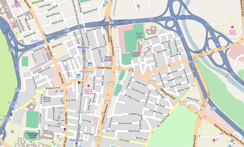
This map of Mowbray was created from OpenStreetMap project data, collected by the community. This map may be incomplete, and may contain errors. Don't rely solely on it for navigation. |
|||||||||
| Date | (see file history) | |||||||||
| Source | openstreetmap.org | |||||||||
| Creator |
OpenStreetMap contributors |
|||||||||
| Permission (Reusing this file) |
OpenStreetMap data is available under the Open Database License (details). Map tiles are licensed under the Creative Commons Attribution-ShareAlike 2.0 license (CC-BY-SA 2.0).
This file is licensed under the Creative Commons Attribution-Share Alike 2.0 Generic license.
|
|||||||||
| Geotemporal data | ||||||||||
| Bounding box |
|
|||||||||
| Georeferencing | If inappropriate please set warp_status = skip to hide. | |||||||||
| Other versions | File:Mowbray OSM map small.svg | |||||||||
| SVG development | ||||||||||
File history
Click on a date/time to view the file as it appeared at that time.
| Date/Time | Thumbnail | Dimensions | User | Comment | |
|---|---|---|---|---|---|
| current | 10:20, 1 October 2012 | | 1,291 × 779 (4.14 MB) | Htonl (talk | contribs) | update |
| 16:13, 5 February 2010 |  | 1,283 × 796 (4.03 MB) | Htonl (talk | contribs) | new version, smaller area | |
| 10:09, 27 April 2008 |  | 946 × 481 (3.14 MB) | Htonl (talk | contribs) | update | |
| 09:08, 18 December 2007 |  | 370 × 181 (1,002 KB) | Htonl (talk | contribs) | update | |
| 21:12, 21 October 2007 |  | 380 × 193 (1.1 MB) | Htonl (talk | contribs) | {{OpenStreetMap|name=Mowbray}} Category:Maps of Cape Town suburbs |
You cannot overwrite this file.
File usage on Commons
The following page uses this file:
File usage on other wikis
The following other wikis use this file:
- Usage on af.wikipedia.org
- Usage on de.wikipedia.org
- Usage on en.wikipedia.org
- Usage on fr.wikipedia.org
- Usage on ur.wikipedia.org