File:Mrozy (gmina) location map.png
Jump to navigation
Jump to search
Size of this preview: 492 × 600 pixels. Other resolutions: 197 × 240 pixels | 394 × 480 pixels | 828 × 1,009 pixels.
Original file (828 × 1,009 pixels, file size: 176 KB, MIME type: image/png)
Captions
Captions
Add a one-line explanation of what this file represents
| Description |
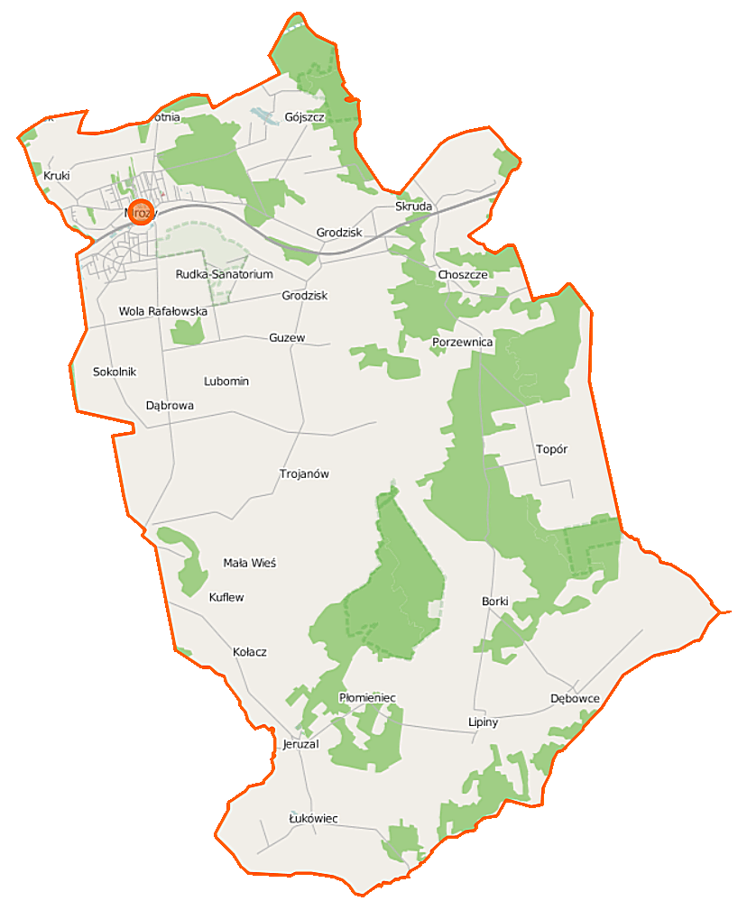
Polski: Mapa gminy Mrozy, Polska
English: Map of Gmina Mrozy, Poland |
|||||||||
| Date | ||||||||||
| Source | You may find a page on the OpenStreetMap wiki page for Mrozy (gmina) | |||||||||
| Creator |
OpenStreetMap contributors OpenStreetMap contributors |
|||||||||
| Permission (Reusing this file) |
OpenStreetMap data is available under the Open Database License (details). Map tiles are licensed under the Creative Commons Attribution-ShareAlike 2.0 license (CC-BY-SA 2.0).
This file is licensed under the Creative Commons Attribution-Share Alike 2.0 Generic license.
|
|||||||||
| Geotemporal data | ||||||||||
| Bounding box |
|
|||||||||
| Georeferencing | If inappropriate please set warp_status = skip to hide. | |||||||||
File history
Click on a date/time to view the file as it appeared at that time.
| Date/Time | Thumbnail | Dimensions | User | Comment | |
|---|---|---|---|---|---|
| current | 10:56, 12 September 2014 | | 828 × 1,009 (176 KB) | VanWiel (talk | contribs) | |
| 06:10, 7 August 2014 |  | 828 × 1,009 (193 KB) | VanWiel (talk | contribs) | {{OpenStreetMap | name = Mrozy (gmina) | location = Mrozy (gmina) | description = {{pl|Mapa gminy Mrozy, Polska}} {{en|Map of Gmina Mrozy, Poland}} | top = 52.2051 | left = 21.7570 | right... |
You cannot overwrite this file.
File usage on Commons
There are no pages that use this file.
File usage on other wikis
The following other wikis use this file:
- Usage on fr.wikipedia.org
- Usage on nl.wikipedia.org
- Usage on pl.wikipedia.org
- Mrozy
- Mrozy (gmina)
- Choszcze
- Dębowce
- Gójszcz
- Kuflew
- Płomieniec
- Porzewnica
- Wola Paprotnia
- Kołacz (województwo mazowieckie)
- Sokolnik (województwo mazowieckie)
- Rezerwat przyrody Florianów
- Rezerwat przyrody Rudka Sanatoryjna
- Rezerwat przyrody Przełom Witówki
- Rezerwat przyrody Rogoźnica
- Wola Rafałowska (województwo mazowieckie)
- Borki (powiat miński)
- Grodzisk (powiat miński)
- Guzew (powiat miński)
- Kruki (powiat miński)
- Lipiny (powiat miński)
- Łukówiec (powiat miński)
- Mała Wieś (powiat miński)
- Natolin (powiat miński)
- Rudka (powiat miński)
- Skruda (powiat miński)
- Topór (powiat miński)
- Trojanów (powiat miński)
- Dąbrowa (gmina Mrozy)
- Lubomin (gmina Mrozy)
- Jeruzal (powiat miński)
- Mrozy (stacja kolejowa)
- Grodziszcze Mazowieckie
- Kościół Świętych Marcina i Mikołaja w Kuflewie
- Parafia Świętych Marcina i Mikołaja w Kuflewie
- Parafia św. Teresy od Dzieciątka Jezus w Mrozach
- Parafia św. Wojciecha w Jeruzalu
- Rezerwat przyrody Torfowisko Jeziorek
- Barania Ruda
- Gajówka Bernatowizna
- Gajówka Florianów
- Gajówka Gójszcz
- Jeziorek (województwo mazowieckie)
- Rudka-Sanatorium
- Moduł:Mapa/dane/Mrozy
- Moduł:Mapa/dane/Mrozy (gmina)
- Rezerwat przyrody Barania Ruda
- Kościół św. Wojciecha w Jeruzalu
View more global usage of this file.
_location_map.png)
_location_map.png&oldid=519983754)