File:Mt Vernon trail Rosslyn.JPG
Jump to navigation
Jump to search
No higher resolution available.
Mt_Vernon_trail_Rosslyn.JPG (800 × 600 pixels, file size: 504 KB, MIME type: image/jpeg)
Captions
Captions
Add a one-line explanation of what this file represents
Summary
[edit]
| Description |
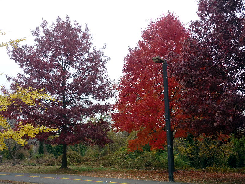
English: Mount Vernon Trail in Rosslyn, Arlington. The 18-mile scenic Potomac shoreline trail goes from Mount Vernon to the Theodore Roosevelt Island. At Arlington Memorial Bridge, it connects with the 20-mile Rock Creek and Potomac Trail. In Rosslyn, it feeds into the Martha Custis Trail along the Custis Memorial Parkway. |
| Date | |
| Source | Own work |
| Author | Discol |
| Camera location | | View this and other nearby images on: OpenStreetMap |
|---|
Licensing
[edit]
| I, the copyright holder of this work, release this work into the public domain. This applies worldwide. In some countries this may not be legally possible; if so: I grant anyone the right to use this work for any purpose, without any conditions, unless such conditions are required by law. |
File history
Click on a date/time to view the file as it appeared at that time.
| Date/Time | Thumbnail | Dimensions | User | Comment | |
|---|---|---|---|---|---|
| current | 05:08, 13 December 2013 | | 800 × 600 (504 KB) | Discol (talk | contribs) | Contrast and color adjustment. |
| 17:52, 7 December 2013 |  | 2,048 × 1,536 (1.57 MB) | Discol (talk | contribs) | User created page with UploadWizard |
You cannot overwrite this file.
File usage on Commons
There are no pages that use this file.